Directory

Search results

Published directory entries matching your search.

Search results

117 listings

The Mississippi Geospatial Data Catalog is a platform for discovering, analyzing and downloading geospatial data from Mississippi. Data can be downloaded in CSV, KML, Zip, GeoJSON, GeoTIFF or PNG formats. The catalog provides API links for GeoServices, WMS and WFS. Users can analyze data using charts and thematic maps, and create StoryMaps and Web Maps with the content.

Dataset & Data Search 0

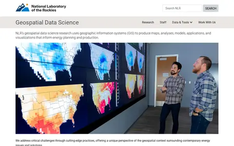
NLR's geospatial data science research uses geographic information systems (GIS) to produce maps, analyses, models, applications, and visualizations that inform energy planning and production. The work offers a geospatial perspective on contemporary energy issues and solutions.

Dataset & Data Search 0

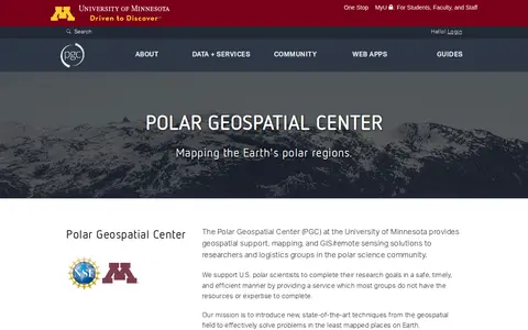
The Polar Geospatial Center at the University of Minnesota provides geospatial support, mapping, and GIS and remote sensing solutions to researchers and logistics groups in the polar science community. It maintains a library of commercial satellite imagery, elevation models, and a historical and contemporary map catalog, and offers browser-based tools for accessing polar data.

Dataset & Data Search 0

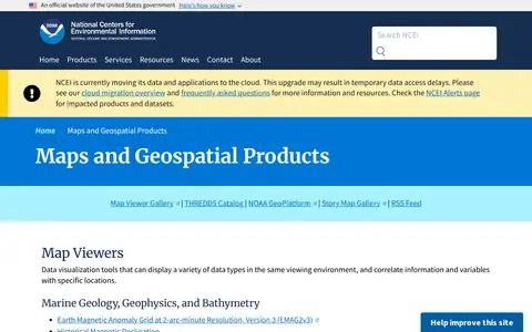
A National Centers for Environmental Information page presenting maps and geospatial products, including map viewers with data visualization tools and story maps combining maps, narrative text, images and multimedia. It also links to ArcGIS REST service directories for GIS servers with metadata and download formats for programmers and developers.

Maps & Navigation 0

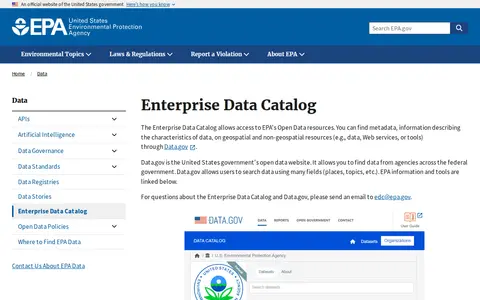
The Enterprise Data Catalog is the EPA's inventory of data assets and provides access to EPA Open Data resources. Users can find metadata on geospatial and non-geospatial resources through Data.gov, the US government's open data website, which allows searching data by fields such as places and topics.

Dataset & Data Search 0
geodata.tn.gov

TN Geospatial Data is a portal operated by the State of Tennessee that provides access to open geographic data. Users can search for, preview, and download downloadable GIS data from various state agencies.

Dataset & Data Search 0
cityonline.calgary.ca

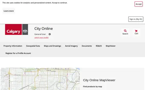
City Online is the City of Calgary's portal for purchasing property information, geospatial data, maps and drawings, and aerial imagery. Products include property reports purchased per property address and geospatial data sold per ATS section. The site also links to the Open Data Portal, map gallery, Assessment Search and other City resources.

Dataset & Data Search 0

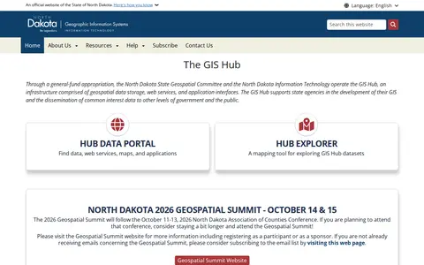
The GIS Hub is operated by the North Dakota State Geospatial Committee and North Dakota Information Technology. It is an infrastructure of geospatial data storage, web services, and application interfaces that supports state agencies' GIS development and shares common interest data with other government levels and the public. A data portal and Hub Explorer mapping tool provide access.

Dataset & Data Search 0
scitools.org.uk

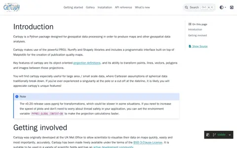
Cartopy is a Python package designed for geospatial data processing in order to produce maps and other geospatial data analyses.

AI Data & Analytics 0
developers.google.com

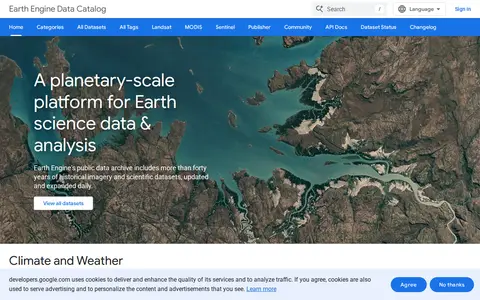
Google Earth Engine catalog of satellite imagery, climate data, land cover, and geospatial datasets.

Geolocation Tools 0
geoplatform.gov

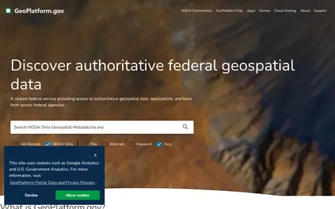
US geospatial portal for discovering government maps, data layers, services, and geographic resources.

Geolocation Tools 0
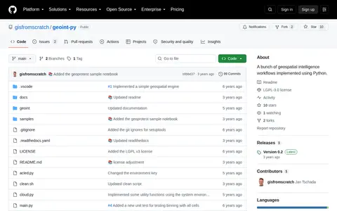
github.com

Python package for geospatial intelligence workflows, location data, and map-based OSINT tasks.

Geolocation Tools 0
data.apps.fao.org

FAO map catalog for searching agriculture, land, food, and environmental geospatial datasets.

Geolocation Tools 0
Preview unavailable
start.me

Curated GEOINT resource board with links for geospatial intelligence, maps, imagery, and location research.

Research & Discovery Tools 0
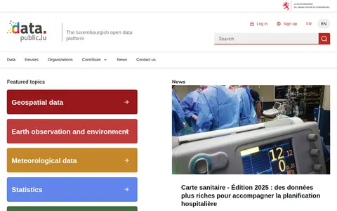
data.public.lu

data.public.lu is the official open data portal of Luxembourg. It hosts public datasets, data reuses and related resources, with featured topic areas including geospatial data, earth observation and environment, meteorological data, statistics, mobility and companies.

Dataset & Data Search 0
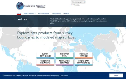
spatialdata.dhsprogram.com

The Spatial Data Repository provides geographically linked health and demographic data from The DHS Program and the U.S. Census Bureau for mapping in a geographic information system. Data products include survey boundaries, indicator data, modeled map surfaces, geospatial covariates, population estimates, and a local data mapping tool.

Dataset & Data Search 0
archaeo-vault.cz

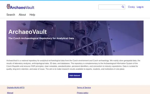
ArchaeoVault is a Czech national repository for analytical archaeological data. It stores geospatial data, laboratory analysis results, anthropological data, 3D data and databases, and complements the Archaeological Information System of the Czech Republic. Data is curated for quality, long-term retention and reuse, with metadata standards and persistent identifiers.

Dataset & Data Search 0
opengisdata.ky.gov

KyGovMaps Open Data Portal is a platform for accessing Kentucky-specific geographic information system (GIS) data and mapping applications. Users can explore, download and analyze geospatial datasets, combine data via map tools, and develop custom web and mobile applications using the portal's resources.

Dataset & Data Search 0

The Latvian Open Data portal is Latvia's open data portal. It publishes news about datasets, including datasets published by first-tier state enterprises, and reports on government decisions to open geospatial datasets. The portal covers open data competitions and hackathons.

Dataset & Data Search 0

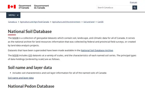
The National Soil Database is a collection of geospatial datasets containing soil, landscape, and climatic data for all of Canada. It serves as the national archive for land resources information collected by federal and provincial field surveys or created by land data analysis projects, including soil name and layer data, pedon data, and soil landscape grids.

Dataset & Data Search 0
opendata.transport.nsw.gov.au

The Transport for NSW Open Data Hub provides a data catalogue for browsing, exploring and downloading datasets, connecting to APIs, and finding insights and interactive maps. It also offers geospatial files and interactive maps, interactive visualisations, and developer resources for accessing APIs and using real-time data. A further section covers innovation challenges and data partnerships.

Dataset & Data Search 0

The British Geological Survey (BGS) is a geoscience organization focused on understanding the Earth. It delivers research, data, and services including the National Geoscience Data Centre, public geology resources, climate change and geohazard information, and geospatial data products for public, business, and academic users.

Dataset & Data Search 0
data.cefas.co.uk

Research data portal for exploring animal physiology and biochemistry records, including geospatial data.

Dataset & Data Search 0
opendata.london.ca

Search engineering data collections and supporting geospatial data from CAN.

Dataset & Data Search 0