




dataverse.icrisat.org
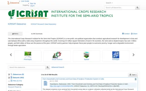
ICRISAT Dataverse is the research data repository of the International Crops Research Institute for the Semi-Arid Tropics, a non-profit organization conducting agricultural research for development in Asia and sub-Saharan Africa. The repository holds datasets, including farm household survey data on sorghum cultivation in India and groundnut production data from Mali.