inspire-geoportal.eu
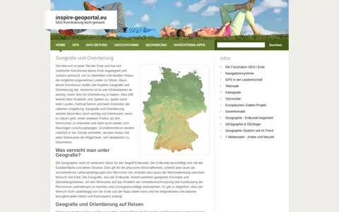
European geoportal for finding INSPIRE spatial datasets, map services, and geographic metadata.

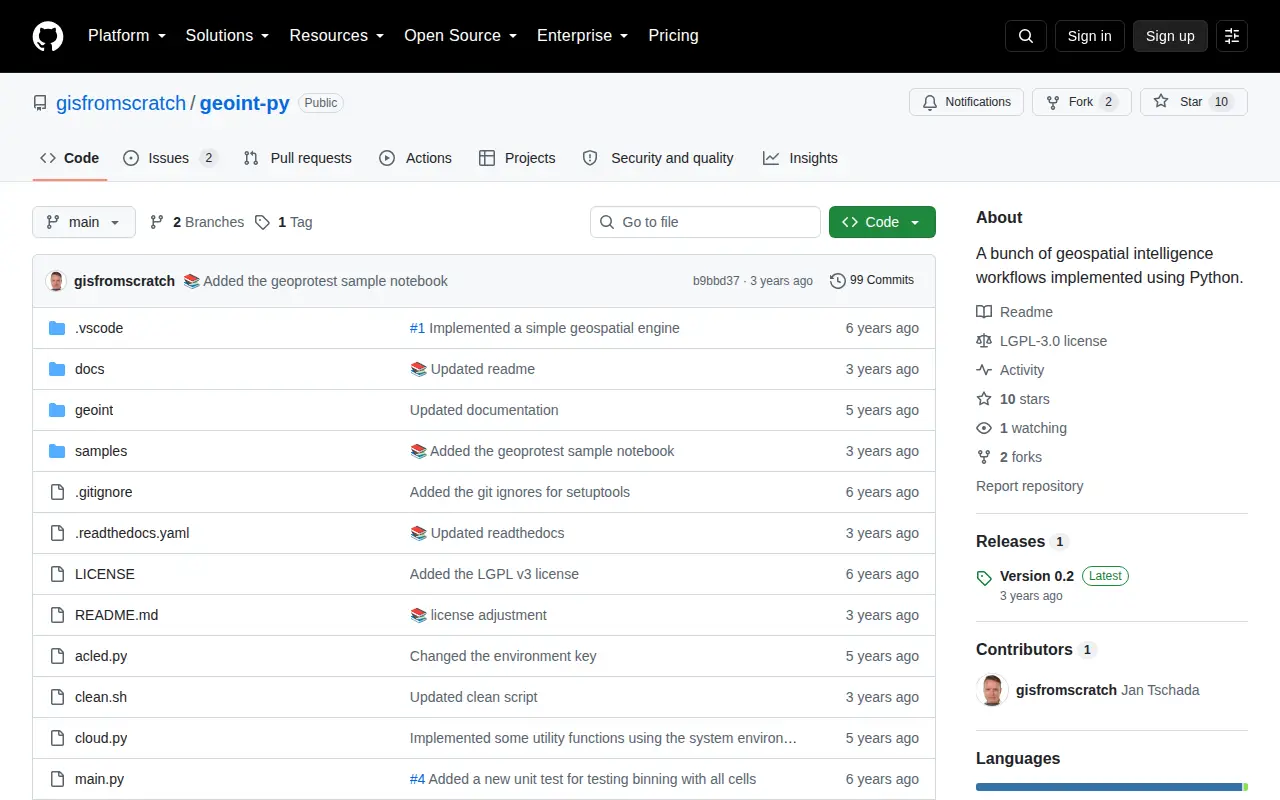
Python package for geospatial intelligence workflows, location data, and map-based OSINT tasks.
European geoportal for finding INSPIRE spatial datasets, map services, and geographic metadata.

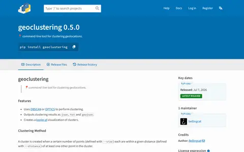
Python package for clustering geographic coordinates and grouping location data points.

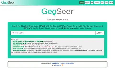
GeoSeer is a search engine for spatial web services. It is used to find WMS, WFS, WCS, and WMTS datasets for use within a GIS. The site states that searches cover over 3.5 million distinct spatial datasets hosted on over 400,000 live services worldwide. Search options include service type, EPSG code preference, exact phrases, exclusions, and boolean logic.

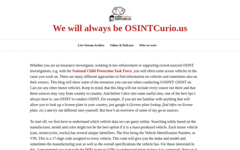
A blog post on OSINTCurio.us about conducting open-source intelligence research on cars and other motor vehicles. It describes vehicle identifiers such as the 17-digit VIN and license plates, notes that license plate records are often not available for free or through OSINT, and gives an overview of sources, mainly for the United States.

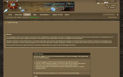
The Cartographers' Guild is a website and forum for enthusiasts of fantasy maps, mapmaking and cartography of all types. It is a community of fantasy map makers that provides tutorials, references and resources for fellow mapmakers.

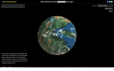
Ancient Earth is a visualization of the globe across 750 million years of Earth's history. Users can search for addresses and step through time periods, viewing paleogeographic maps by C.R. Scotese, with a globe that can be rotated and options to show clouds and the equator.
Community notes
Be the first to share how this project worked for you.
Sign in with a verified account to leave a review or join the discussion.
Sign in to reviewKeep exploring
European geoportal for finding INSPIRE spatial datasets, map services, and geographic metadata.
Python package for clustering geographic coordinates and grouping location data points.
GeoSeer is a search engine for spatial web services. It is used to find WMS, WFS, WCS, and WMTS datasets for use within a GIS. The site states that searches cover over 3.5 million distinct spatial datasets hosted on over 400,000 live services worldwide. Search options include service type, EPSG code preference, exact phrases, exclusions, and boolean logic.
A blog post on OSINTCurio.us about conducting open-source intelligence research on cars and other motor vehicles. It describes vehicle identifiers such as the 17-digit VIN and license plates, notes that license plate records are often not available for free or through OSINT, and gives an overview of sources, mainly for the United States.
The Cartographers' Guild is a website and forum for enthusiasts of fantasy maps, mapmaking and cartography of all types. It is a community of fantasy map makers that provides tutorials, references and resources for fellow mapmakers.
Ancient Earth is a visualization of the globe across 750 million years of Earth's history. Users can search for addresses and step through time periods, viewing paleogeographic maps by C.R. Scotese, with a globe that can be rotated and options to show clouds and the equator.