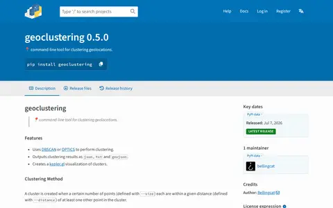

pypi.org
Python package for clustering geographic coordinates and grouping location data points.

Google Earth Engine catalog of satellite imagery, climate data, land cover, and geospatial datasets.
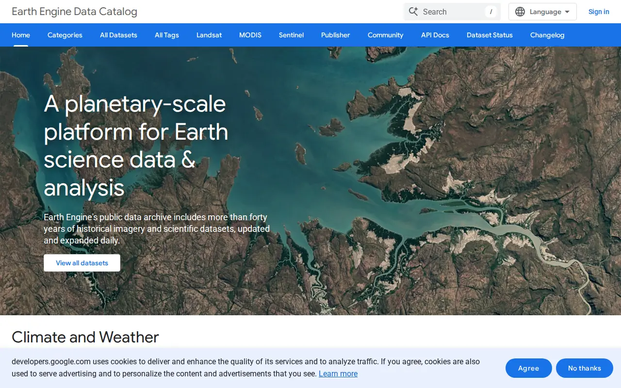
Python package for clustering geographic coordinates and grouping location data points.

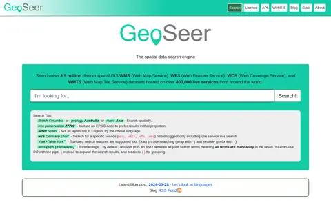
GeoSeer is a search engine for spatial web services. It is used to find WMS, WFS, WCS, and WMTS datasets for use within a GIS. The site states that searches cover over 3.5 million distinct spatial datasets hosted on over 400,000 live services worldwide. Search options include service type, EPSG code preference, exact phrases, exclusions, and boolean logic.
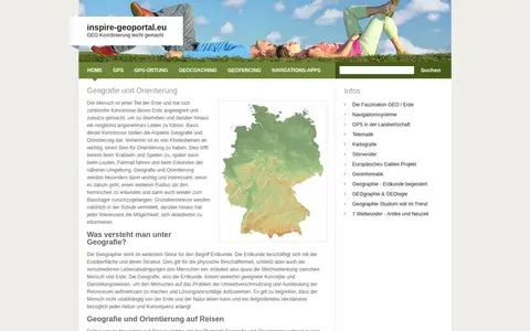
European geoportal for finding INSPIRE spatial datasets, map services, and geographic metadata.

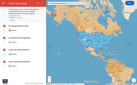
Google map showing active agency locations, activity, or organizational presence by place.

Online world map service offering a satellite view of the Earth with labels, a ruler, place sharing, search and locating. It also lists route planning, state boundary tracking, city lists for each state and weather forecast.
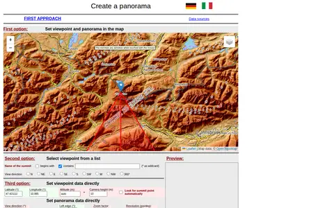
A web tool for creating mountain panoramas and identifying summits. A viewpoint can be set in a map, chosen from a summit list, or entered directly with latitude, longitude, altitude and camera height. View direction, zoom, resolution, tilt, sight range and elevation exaggeration can be set; JavaScript must be permitted.
Community notes
Be the first to share how this project worked for you.
Sign in with a verified account to leave a review or join the discussion.
Sign in to reviewKeep exploring
Python package for clustering geographic coordinates and grouping location data points.
GeoSeer is a search engine for spatial web services. It is used to find WMS, WFS, WCS, and WMTS datasets for use within a GIS. The site states that searches cover over 3.5 million distinct spatial datasets hosted on over 400,000 live services worldwide. Search options include service type, EPSG code preference, exact phrases, exclusions, and boolean logic.
European geoportal for finding INSPIRE spatial datasets, map services, and geographic metadata.
Google map showing active agency locations, activity, or organizational presence by place.
Online world map service offering a satellite view of the Earth with labels, a ruler, place sharing, search and locating. It also lists route planning, state boundary tracking, city lists for each state and weather forecast.
A web tool for creating mountain panoramas and identifying summits. A viewpoint can be set in a map, chosen from a summit list, or entered directly with latitude, longitude, altitude and camera height. View direction, zoom, resolution, tilt, sight range and elevation exaggeration can be set; JavaScript must be permitted.