





cazy.org
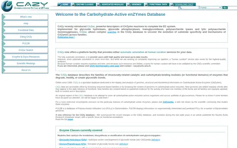
The Carbohydrate-Active enZYmes Database is a specialist database, online since 1998, describing families of structurally-related catalytic and carbohydrate-binding modules of enzymes that degrade, modify, or create glycosidic bonds. Data can be browsed by sequence-based families or by genome content, with new genomes added after GenBank releases. It also offers automatic annotation and human curation services for data.