
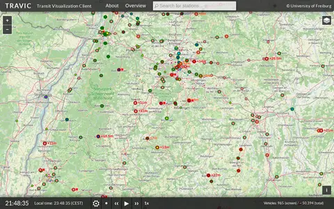

TRAVIC (Transit Visualization Client) provides movement visualization of transit data published by transit agencies and operators worldwide. Movements are mostly based on static schedule data, with real-time data included where available. The page notes the servers are undergoing maintenance and asks visitors to return later.
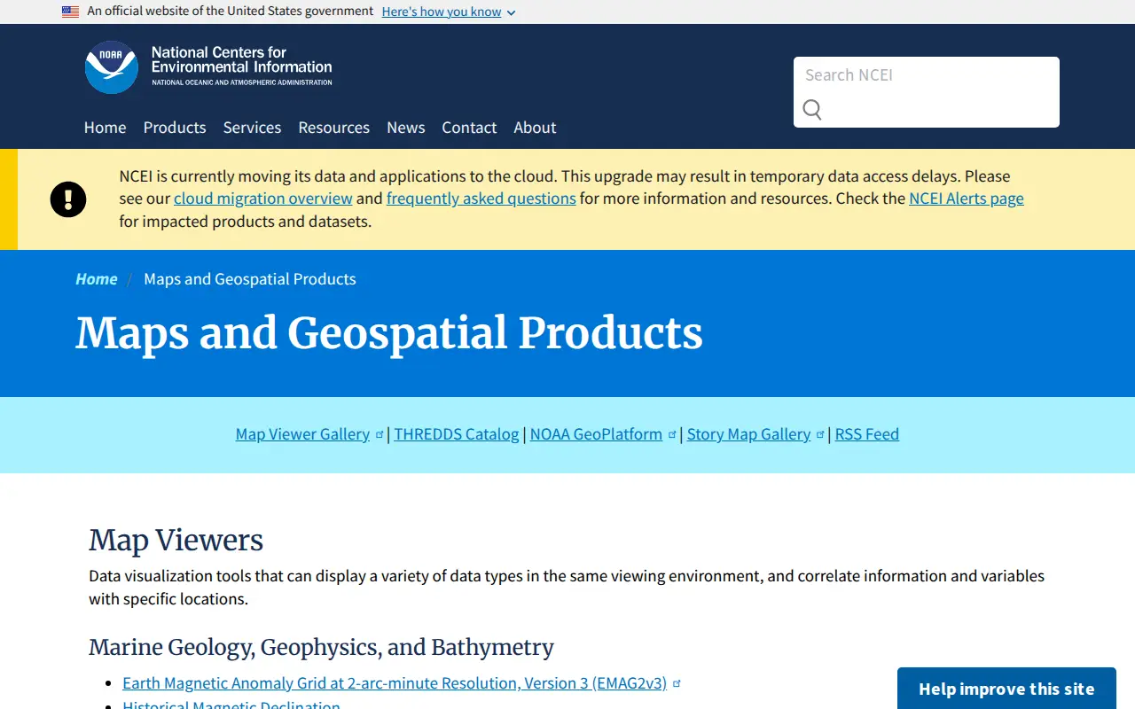
NOAA Maps and Geospatial Products
A National Centers for Environmental Information page presenting maps and geospatial products, including map viewers with data visualization tools and story maps combining maps, narrative text, images and multimedia. It also links to ArcGIS REST service directories for GIS servers with metadata and download formats for programmers and developers.
Features
- Data visualization tools that can display a variety of data types Source: www.ncei.noaa.gov
Links
Tags
-
0TRAVIC (Transit Visualization Client) provides movement visualization of transit data published by transit agencies and operators worldwide. Movements are mostly based on static schedule data, with real-time data included where available. The page notes the servers are undergoing maintenance and asks visitors to return later.
-
0
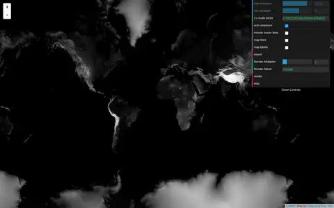
Tangram Heightmapper is an elevation data browser that auto-exposes the display so the highest and lowest visible elevations are white and black, producing a grayscale heightmap. The image can be exported and imported as a displacement map in 3D applications. Auto-expose can be unchecked to set minimum and maximum height levels manually.
-
0A free interactive map of 9,079 castles, fortresses, palaces and ruins across 155 countries, each with a photo and story. Points can be clicked for quick facts, and individual pages give full stories and locations. Data comes from Wikidata, Wikimedia Commons, Wikipedia and OpenFreeMap.
-
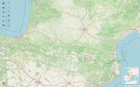
0A map interface built on OpenStreetMap that collects external cartographic tools and links them with automatic positioning on the current map extent. It offers a layers catalog for base layers and overlays, location search, and panes for StreetView images and webcams. Filters cover recently added links, favorites and tags.
-
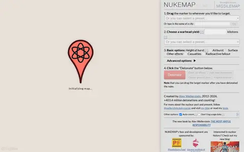
0NUKEMAP is a website created by Alex Wellerstein for visualizing the effects of nuclear detonations. Users drag a marker to a target, choose a warhead yield or preset, and detonate; the map renders effects and supports export to Google Earth as KMZ.
-
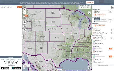
0CalTopo is a backcountry mapping tool offering trip planning tools and topographic maps, including USGS and USFS topos and aerial imagery. It supports printing to geospatial PDFs, exporting to KMZ and MBTiles, elevation profiles and terrain analysis, and finding shared maps from other users.
Community notes
Reviews and discussion
No reviews yet
Be the first to share how this project worked for you.
Join the discussion
Sign in with a verified account to leave a review or join the discussion.
Sign in to review