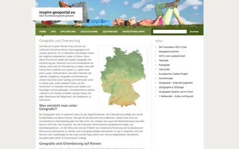
inspire-geoportal.eu
European geoportal for finding INSPIRE spatial datasets, map services, and geographic metadata.

US geospatial portal for discovering government maps, data layers, services, and geographic resources.
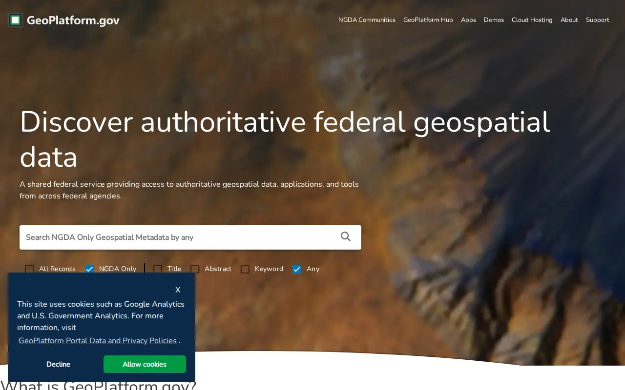
European geoportal for finding INSPIRE spatial datasets, map services, and geographic metadata.

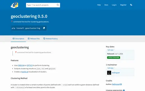
Python package for clustering geographic coordinates and grouping location data points.

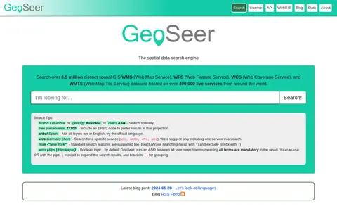
GeoSeer is a search engine for spatial web services. It is used to find WMS, WFS, WCS, and WMTS datasets for use within a GIS. The site states that searches cover over 3.5 million distinct spatial datasets hosted on over 400,000 live services worldwide. Search options include service type, EPSG code preference, exact phrases, exclusions, and boolean logic.

This page describes an online car recognition tool that identifies vehicle information from an uploaded car picture, including brand, model, year and color. The page states that users upload a photo and click the "Car Model Recognition" button to use a machine learning model to identify the vehicle online. It is one of many tools listed on the ToolPie site.

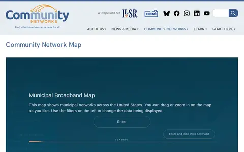
Community Network Map is a miscellaneous web resource for discovery, directories, archives, web culture, or useful tools.

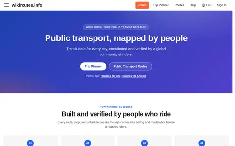
Wikiroutes is a crowdsourced public transport directory with an interactive map, schedules and route search for buses, trolleybuses and trams. Routes, stops and schedules pass through community editing and moderation before publication, and accepted changes appear on the site immediately.
Community notes
Be the first to share how this project worked for you.
Sign in with a verified account to leave a review or join the discussion.
Sign in to reviewKeep exploring
European geoportal for finding INSPIRE spatial datasets, map services, and geographic metadata.
Python package for clustering geographic coordinates and grouping location data points.
GeoSeer is a search engine for spatial web services. It is used to find WMS, WFS, WCS, and WMTS datasets for use within a GIS. The site states that searches cover over 3.5 million distinct spatial datasets hosted on over 400,000 live services worldwide. Search options include service type, EPSG code preference, exact phrases, exclusions, and boolean logic.
This page describes an online car recognition tool that identifies vehicle information from an uploaded car picture, including brand, model, year and color. The page states that users upload a photo and click the "Car Model Recognition" button to use a machine learning model to identify the vehicle online. It is one of many tools listed on the ToolPie site.
Community Network Map is a miscellaneous web resource for discovery, directories, archives, web culture, or useful tools.
Wikiroutes is a crowdsourced public transport directory with an interactive map, schedules and route search for buses, trolleybuses and trams. Routes, stops and schedules pass through community editing and moderation before publication, and accepted changes appear on the site immediately.