


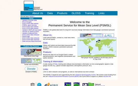

The Permanent Service for Mean Sea Level (PSMSL) is the global data bank for long term sea level change information from tide gauges and bottom pressure recorders. It offers access to sea level data, derived products such as trends and anomalies, and training and software documentation. It is based at and supported by the UK's National Oceanography Centre.
The National Soil DataBase
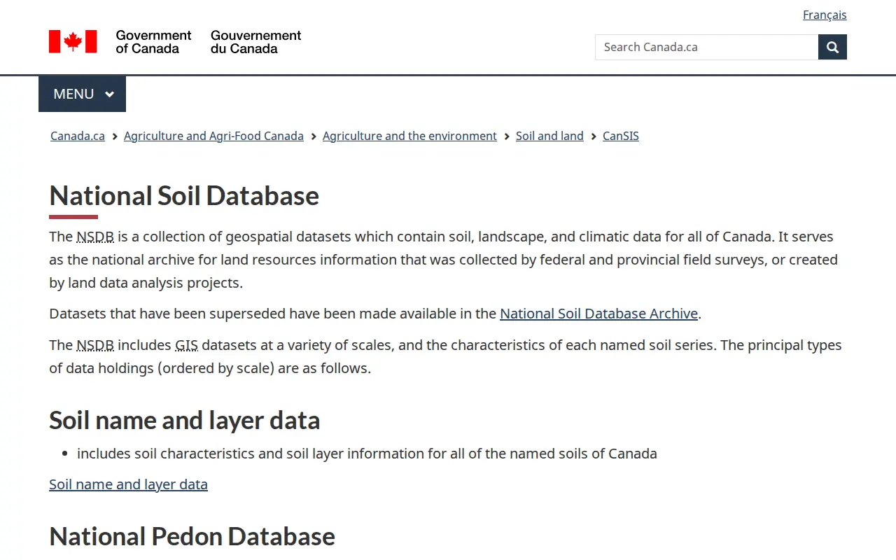
The National Soil Database is a collection of geospatial datasets containing soil, landscape, and climatic data for all of Canada. It serves as the national archive for land resources information collected by federal and provincial field surveys or created by land data analysis projects, including soil name and layer data, pedon data, and soil landscape grids.
Features
- collection of geospatial datasets which contain soil, landscape, and climatic data Source: sis.agr.gc.ca
Links
Tags
-
0The Permanent Service for Mean Sea Level (PSMSL) is the global data bank for long term sea level change information from tide gauges and bottom pressure recorders. It offers access to sea level data, derived products such as trends and anomalies, and training and software documentation. It is based at and supported by the UK's National Oceanography Centre.
-
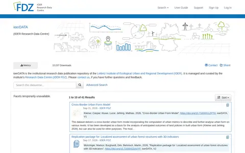
0ioerDATA is the institutional research data publication repository of the Leibniz Institute of Ecological Urban and Regional Development (IOER), managed and curated by the institute's Research Data Centre (IOER FDZ). It lists published research datasets with author and DOI details, such as building metrics, urban form models and replication packages.
-
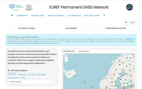
0The EUREF Permanent GNSS Network is a pan-European network of continuously operating GNSS reference stations, coordinated by the EPN Central Bureau. It provides access to the European Terrestrial Reference System 89 and distributes GNSS data, station coordinates and velocities under an open-data policy. The network covers 400+ active reference stations. The EPN CB does not operate the stations; each is managed by a responsible agency or institution.
-
0NatureServe is described as an authoritative source for biodiversity data throughout North America. It works with network organizations and conservation scientists to collect, analyze, and deliver biodiversity knowledge. It offers a tool called InSite by NatureServe that provides site-level biodiversity intelligence for any location in the lower 48 United States.
-
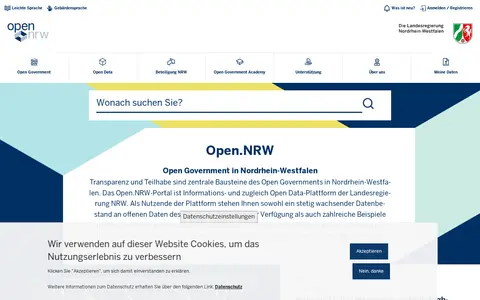
0Public data portal for browsing datasets from North Rhine-Westphalia.
-
0
EDINA is a data and digital expertise centre at The University of Edinburgh, established in 1996. It provides products, services and consultancy in EdTech, GIS, AI and IoT for education and research, including ELM, Noteable, the Digimap suite, Digimap for Schools and agCensus.
Community notes
Reviews and discussion
No reviews yet
Be the first to share how this project worked for you.
Join the discussion
Sign in with a verified account to leave a review or join the discussion.
Sign in to review