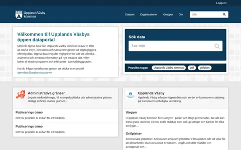

opendata.upplandsvasby.se
Search a government or civic data catalog for reusable public information.
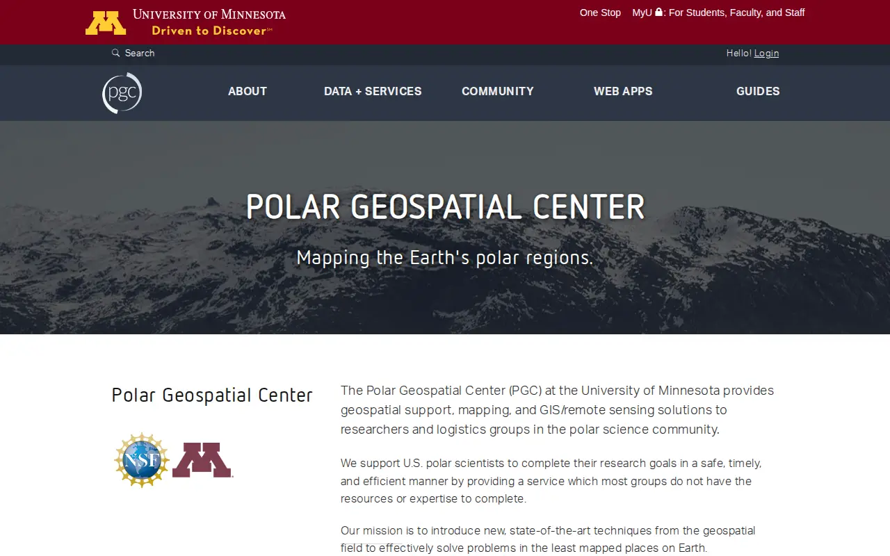
The Polar Geospatial Center at the University of Minnesota provides geospatial support, mapping, and GIS and remote sensing solutions to researchers and logistics groups in the polar science community. It maintains a library of commercial satellite imagery, elevation models, and a historical and contemporary map catalog, and offers browser-based tools for accessing polar data.
Search a government or civic data catalog for reusable public information.
Find and access engineering research data, with indexed image.

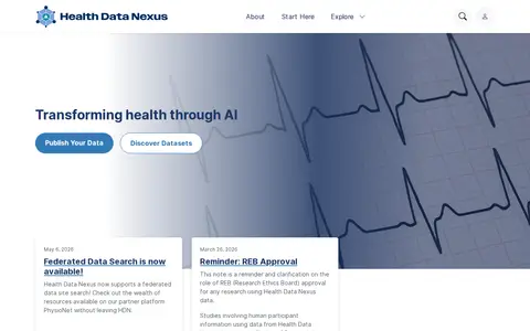
Health Data Nexus is an open data platform for AI research and education in medicine. It offers federated data search, allowing users to search partner platform PhysioNet resources without leaving the site. Datasets are listed under credentialed access, and access zones impose requirements including a data use agreement and, for Zone 3, REB approval.

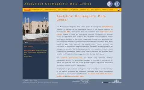
The Analytical Geomagnetic Data Center of the Trans-Regional INTERMAGNET Segment is operated by the Geophysical Center of the Russian Academy of Sciences. It offers interactive access to magnetic observatory data from Russia and nearby states, plus spaceborne data products. The MAGNUS system provides automated real-time recognition of artificial disturbances and estimation of geomagnetic activity.
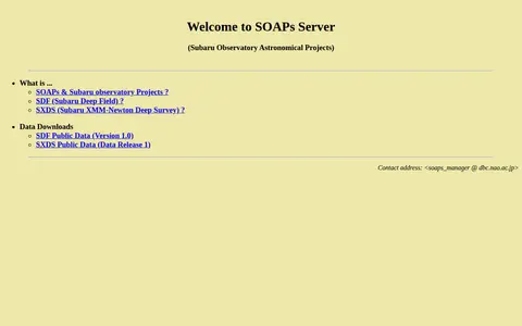
SOAP (Subaru Observatory Astronomical Projects) is a data download server providing public access to astronomical datasets from the Subaru Observatory, including the Subaru Deep Field (SDF) and Subaru XMM-Newton Deep Survey (SXDS).
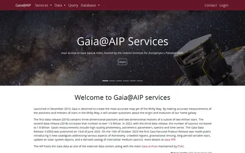
Gaia@AIP is a data centre hosted by the Leibniz-Institute for Astrophysics Potsdam that provides access to official Gaia mission data releases, including DR1, DR2, EDR3 and DR3. It also offers auxiliary catalogues for cross-matching and community contributions, together with query tools, scripting access and visualisation services.
Community notes
Be the first to share how this project worked for you.
Sign in with a verified account to leave a review or join the discussion.
Sign in to reviewKeep exploring
Search a government or civic data catalog for reusable public information.
Find and access engineering research data, with indexed image.
Health Data Nexus is an open data platform for AI research and education in medicine. It offers federated data search, allowing users to search partner platform PhysioNet resources without leaving the site. Datasets are listed under credentialed access, and access zones impose requirements including a data use agreement and, for Zone 3, REB approval.
The Analytical Geomagnetic Data Center of the Trans-Regional INTERMAGNET Segment is operated by the Geophysical Center of the Russian Academy of Sciences. It offers interactive access to magnetic observatory data from Russia and nearby states, plus spaceborne data products. The MAGNUS system provides automated real-time recognition of artificial disturbances and estimation of geomagnetic activity.
SOAP (Subaru Observatory Astronomical Projects) is a data download server providing public access to astronomical datasets from the Subaru Observatory, including the Subaru Deep Field (SDF) and Subaru XMM-Newton Deep Survey (SXDS).
Gaia@AIP is a data centre hosted by the Leibniz-Institute for Astrophysics Potsdam that provides access to official Gaia mission data releases, including DR1, DR2, EDR3 and DR3. It also offers auxiliary catalogues for cross-matching and community contributions, together with query tools, scripting access and visualisation services.