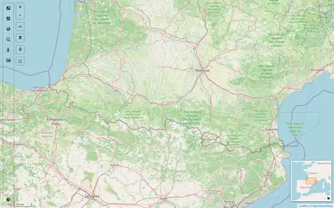
A map interface built on OpenStreetMap that collects external cartographic tools and links them with automatic positioning on the current map extent. It offers a layers catalog for base layers and overlays, location search, and panes for StreetView images and webcams. Filters cover recently added links, favorites and tags.
Directory
Search results
Published directory entries matching your search.
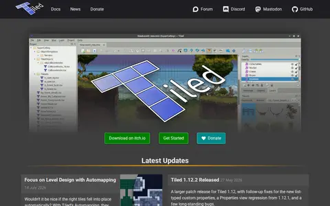
Tiled is a free and open source level editor with object layers, tile layers, and rule-based tile and object placement. It supports orthogonal, isometric and hexagonal maps, infinite maps, and world organization. The editor can be extended with JavaScript, and it exports to Image, JSON, Lua, GameMaker, Defold, tBIN and other formats.
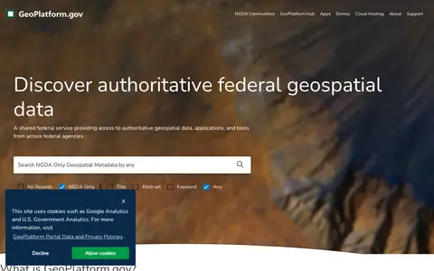
US geospatial portal for discovering government maps, data layers, services, and geographic resources.
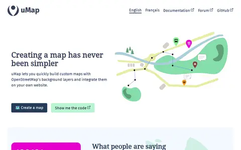
uMap is a free and open-source online map creator maintained by a community of contributors. It lets users build custom maps using OpenStreetMap background layers, draw lines and polygons, import information layers, and embed maps on websites. A graphical interface allows creating interactive maps without coding, and additional features include heatmaps, clustering and slideshows, without requiring an account.
ArcGIS wildfire map visualizes fire activity, boundaries, incidents, and related geographic layers.
FAO map catalog for searching agriculture, land, food, and environmental geospatial datasets.
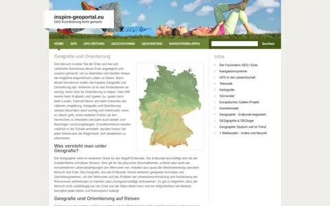
European geoportal for finding INSPIRE spatial datasets, map services, and geographic metadata.
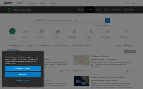
ArcGIS Living Atlas offers curated maps, imagery, demographic layers, and global geographic datasets.
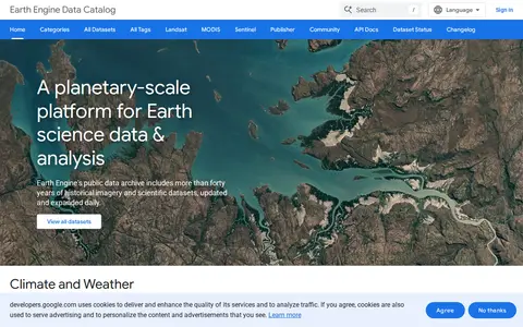
Google Earth Engine catalog of satellite imagery, climate data, land cover, and geospatial datasets.
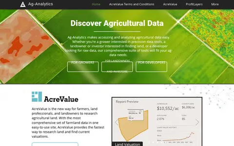
Ag-Analytics is a precision agriculture platform providing data tools for growers, landowners, investors and developers. It offers farmland valuation research through AcreValue, profit mapping via ProfitLayers, soil testing, an ArcGIS Pro add-in, water management services, on-demand drone imagery and DataLayers map layers. It also provides an acreage reporting system for submission to USDA agencies.
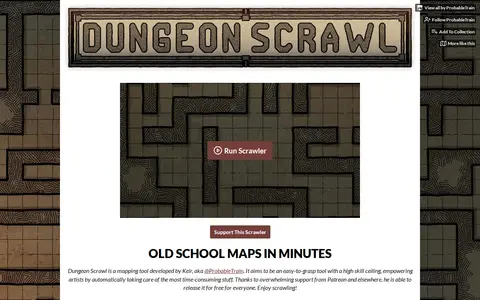
Dungeon Scrawl is a grid-based mapping tool developed by Keir (@ProbableTrain) for creating tabletop battle maps. It offers style presets, brushes and layers, multi-page PDF export with real-world grid sizing, and TSV import of dungeons generated with Donjon. Maps can be exported for use in virtual tabletops such as Roll20. It is free and listed as in development.
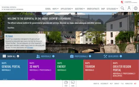
The national geoportal of the Grand-Duchy of Luxembourg is the official platform for governmental geodata and services. It provides maps, data catalogues, a 3D viewer and thematic portals, including energy, tourism, environment and the Greater region. Plugins let QGIS and ArcGIS Pro users search for a location, choose a basemap and add map layers or vector data.
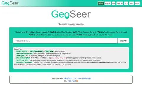
GeoSeer is a search engine for spatial web services. It is used to find WMS, WFS, WCS, and WMTS datasets for use within a GIS. The site states that searches cover over 3.5 million distinct spatial datasets hosted on over 400,000 live services worldwide. Search options include service type, EPSG code preference, exact phrases, exclusions, and boolean logic.
ArcGIS map showing ICAO civil and military airspace layers and aviation-related boundaries.
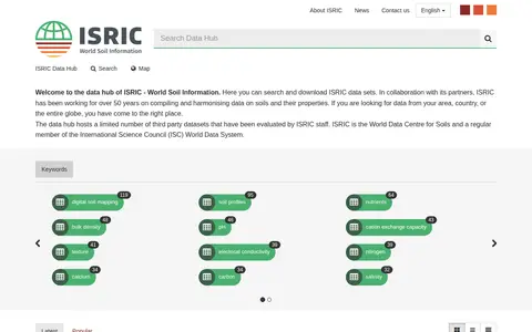
ISRIC data hub for finding global soil maps, soil profiles, and land resource datasets.
Descartes Labs map viewer helps explore satellite imagery, geospatial layers, and earth observation data.
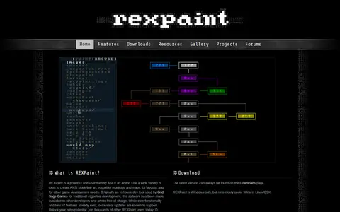
REXPaint is an ASCII art editor from Grid Sage Games for creating ANSI block and line art, roguelike mockups and maps, and UI layouts. It offers separate editing of characters, foreground, and background colors, shape and text tools, layers, palette manipulation, a true-color picker, custom fonts and tilesets, and export to PNG and other formats. It is Windows-only and was originally an in-house development tool.
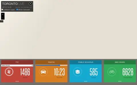
Esri map showing Toronto live layers, city activity, services, and local geographic data.
ArcGIS map showing UK onshore oil and gas activity, sites, and related geographic layers.
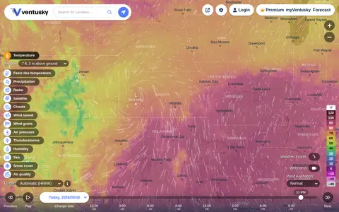
Ventusky provides live weather maps showing wind, rain, radar and temperature, with over 50 weather layers and detailed forecasts. Data comes from weather forecast models including ECMWF, GFS, ICON and GEM.