
pypi.org
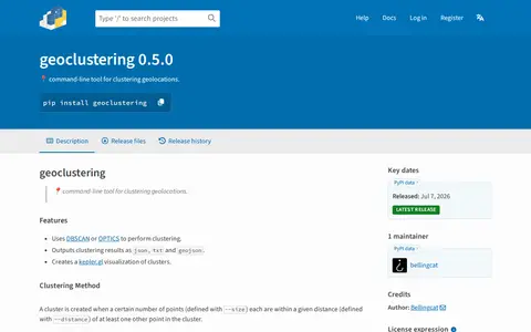
Python package for clustering geographic coordinates and grouping location data points.
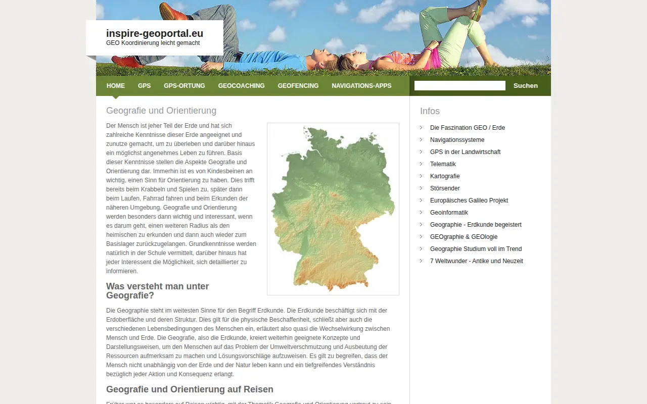
European geoportal for finding INSPIRE spatial datasets, map services, and geographic metadata.
Python package for clustering geographic coordinates and grouping location data points.

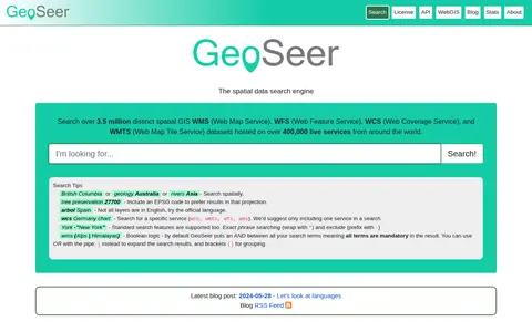
GeoSeer is a search engine for spatial web services. It is used to find WMS, WFS, WCS, and WMTS datasets for use within a GIS. The site states that searches cover over 3.5 million distinct spatial datasets hosted on over 400,000 live services worldwide. Search options include service type, EPSG code preference, exact phrases, exclusions, and boolean logic.

Online world map service offering a satellite view of the Earth with labels, a ruler, place sharing, search and locating. It also lists route planning, state boundary tracking, city lists for each state and weather forecast.

A free interactive map of 9,079 castles, fortresses, palaces and ruins across 155 countries, each with a photo and story. Points can be clicked for quick facts, and individual pages give full stories and locations. Data comes from Wikidata, Wikimedia Commons, Wikipedia and OpenFreeMap.

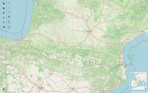
A map interface built on OpenStreetMap that collects external cartographic tools and links them with automatic positioning on the current map extent. It offers a layers catalog for base layers and overlays, location search, and panes for StreetView images and webcams. Filters cover recently added links, favorites and tags.
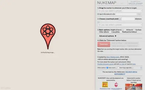
NUKEMAP is a website created by Alex Wellerstein for visualizing the effects of nuclear detonations. Users drag a marker to a target, choose a warhead yield or preset, and detonate; the map renders effects and supports export to Google Earth as KMZ.
Community notes
Be the first to share how this project worked for you.
Sign in with a verified account to leave a review or join the discussion.
Sign in to reviewKeep exploring
Python package for clustering geographic coordinates and grouping location data points.
GeoSeer is a search engine for spatial web services. It is used to find WMS, WFS, WCS, and WMTS datasets for use within a GIS. The site states that searches cover over 3.5 million distinct spatial datasets hosted on over 400,000 live services worldwide. Search options include service type, EPSG code preference, exact phrases, exclusions, and boolean logic.
Online world map service offering a satellite view of the Earth with labels, a ruler, place sharing, search and locating. It also lists route planning, state boundary tracking, city lists for each state and weather forecast.
A free interactive map of 9,079 castles, fortresses, palaces and ruins across 155 countries, each with a photo and story. Points can be clicked for quick facts, and individual pages give full stories and locations. Data comes from Wikidata, Wikimedia Commons, Wikipedia and OpenFreeMap.
A map interface built on OpenStreetMap that collects external cartographic tools and links them with automatic positioning on the current map extent. It offers a layers catalog for base layers and overlays, location search, and panes for StreetView images and webcams. Filters cover recently added links, favorites and tags.
NUKEMAP is a website created by Alex Wellerstein for visualizing the effects of nuclear detonations. Users drag a marker to a target, choose a warhead yield or preset, and detonate; the map renders effects and supports export to Google Earth as KMZ.