inspire-geoportal.eu
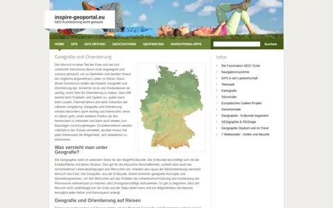
European geoportal for finding INSPIRE spatial datasets, map services, and geographic metadata.

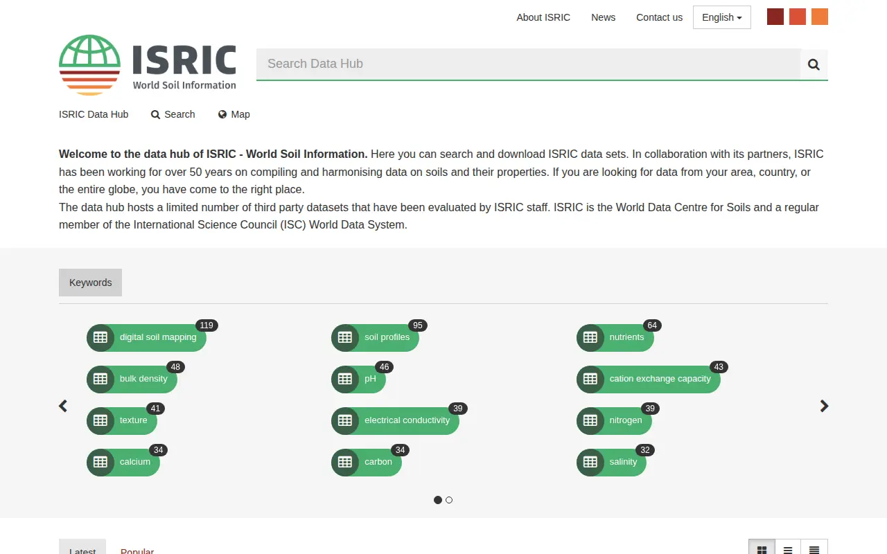
ISRIC data hub for finding global soil maps, soil profiles, and land resource datasets.
European geoportal for finding INSPIRE spatial datasets, map services, and geographic metadata.

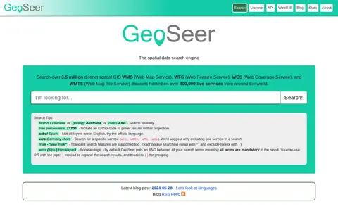
GeoSeer is a search engine for spatial web services. It is used to find WMS, WFS, WCS, and WMTS datasets for use within a GIS. The site states that searches cover over 3.5 million distinct spatial datasets hosted on over 400,000 live services worldwide. Search options include service type, EPSG code preference, exact phrases, exclusions, and boolean logic.

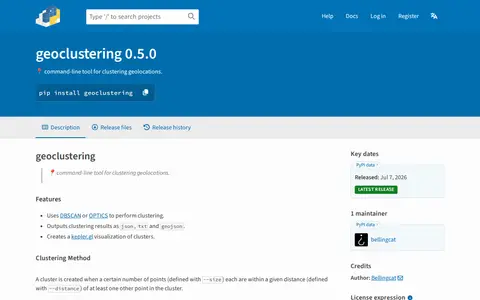
Python package for clustering geographic coordinates and grouping location data points.

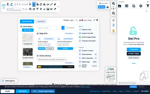
Scribble Maps is a web tool for creating and sharing maps of various types. Maps can be shared with friends, embedded on websites, or exported as images or PDF files. A Pro tier is offered with a trial and demo.

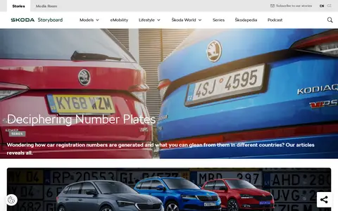
A Škoda Storyboard article series on how car registration numbers are generated and what can be gleaned from them in different countries. The page lists instalments covering Switzerland, Poland, Spain, France, Italy, China, Russia, Germany, India, the Czech Republic and the United Kingdom.

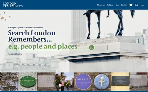
London Remembers is a site aiming to document all memorials in London, including plaques, statues, fountains and war memorials, with photos, inscriptions and the stories behind them. It lists memorial types and subjects and provides a map.
Community notes
Be the first to share how this project worked for you.
Sign in with a verified account to leave a review or join the discussion.
Sign in to reviewKeep exploring
European geoportal for finding INSPIRE spatial datasets, map services, and geographic metadata.
GeoSeer is a search engine for spatial web services. It is used to find WMS, WFS, WCS, and WMTS datasets for use within a GIS. The site states that searches cover over 3.5 million distinct spatial datasets hosted on over 400,000 live services worldwide. Search options include service type, EPSG code preference, exact phrases, exclusions, and boolean logic.
Python package for clustering geographic coordinates and grouping location data points.
Scribble Maps is a web tool for creating and sharing maps of various types. Maps can be shared with friends, embedded on websites, or exported as images or PDF files. A Pro tier is offered with a trial and demo.
A Škoda Storyboard article series on how car registration numbers are generated and what can be gleaned from them in different countries. The page lists instalments covering Switzerland, Poland, Spain, France, Italy, China, Russia, Germany, India, the Czech Republic and the United Kingdom.
London Remembers is a site aiming to document all memorials in London, including plaques, statues, fountains and war memorials, with photos, inscriptions and the stories behind them. It lists memorial types and subjects and provides a map.