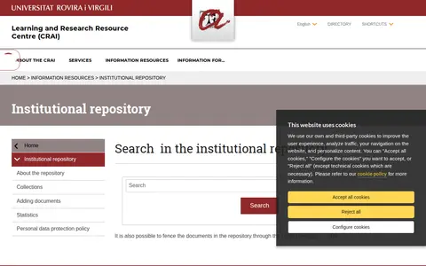
The Repositori Institucional of the Universitat Rovira i Virgili is an institutional repository maintained by the university's Learning and Research Resource Centre (CRAI). Its page provides search access and covers information about the repository, its collections, adding documents, statistics and a personal data protection policy, with documents also fenceable through the CRAI Cercador URV.

Geoportal of the Grand-Duchy of Luxembourg
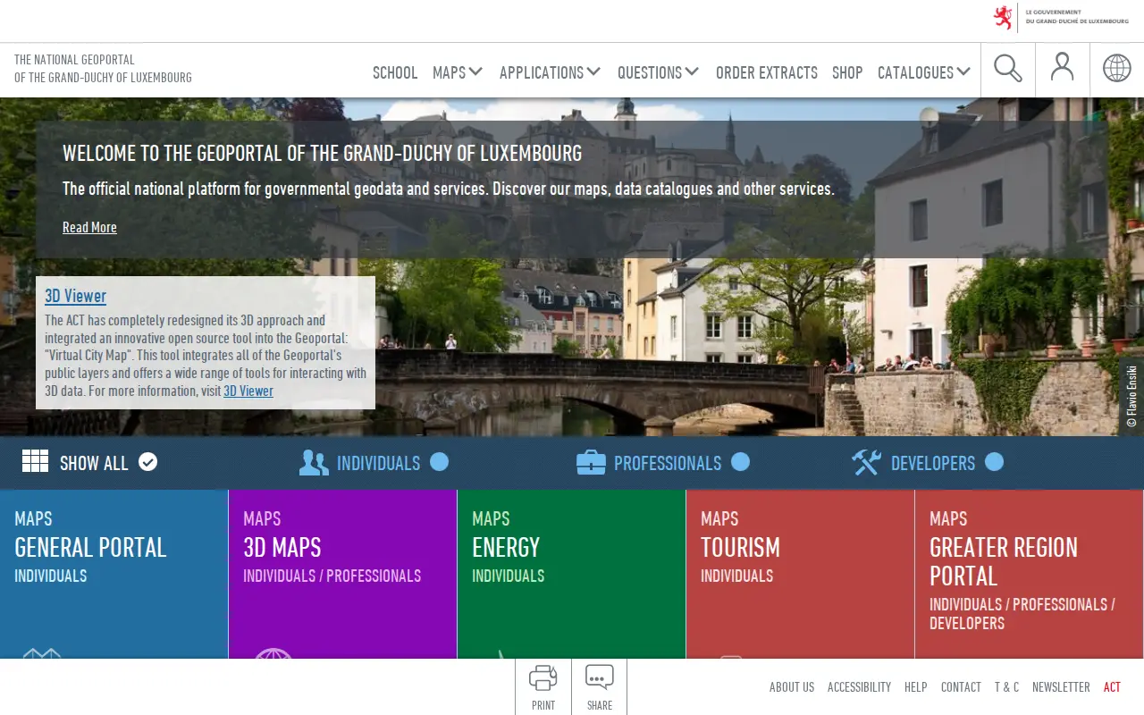
The national geoportal of the Grand-Duchy of Luxembourg is the official platform for governmental geodata and services. It provides maps, data catalogues, a 3D viewer and thematic portals, including energy, tourism, environment and the Greater region. Plugins let QGIS and ArcGIS Pro users search for a location, choose a basemap and add map layers or vector data.
Website Directory import
Platforms
- Plugins for QGIS and ArcGIS Pro Source: www.geoportail.lu
Links
Tags
-
 0
The Repositori Institucional of the Universitat Rovira i Virgili is an institutional repository maintained by the university's Learning and Research Resource Centre (CRAI). Its page provides search access and covers information about the repository, its collections, adding documents, statistics and a personal data protection policy, with documents also fenceable through the CRAI Cercador URV.
-
0
A manually curated database of conditions with known genetic causes, maintained within the NHGRI Division of Intramural Research. It focuses on medically significant genetic data with available interventions and lets users search or browse by manifestation and intervention categories. It offers statistics, downloads and public domain reference information.
-
 0
Searchable repository for finding empirical social datasets and clinical trial data.
-
0
Find and access engineering research data, with indexed datasets.
-
 0
Browse research datasets and image related to engineering.
-
 0
The J. Craig Venter Institute is a research organization dedicated to advances in human health and the environment through genomic research. Its stated work includes genomic research, synthetic biology, tracking plastic pollution, and a center for innovative recycling and circular economy.
Community notes
Reviews and discussion
No reviews yet
Be the first to share how this project worked for you.
Join the discussion
Sign in with a verified account to leave a review or join the discussion.
Sign in to reviewKeep exploring
More in Dataset & Data Search
research.nhgri.nih.gov
A manually curated database of conditions with known genetic causes, maintained within the NHGRI Division of Intramural Research. It focuses on medically significant genetic data with available interventions and lets users search or browse by manifestation and intervention categories. It offers statistics, downloads and public domain reference information.

trails.nl
Searchable repository for finding empirical social datasets and clinical trial data.
eprints.lincoln.ac.uk
Find and access engineering research data, with indexed datasets.
regionaalarchiefnijmegen.nl
Browse research datasets and image related to engineering.

jcvi.org
The J. Craig Venter Institute is a research organization dedicated to advances in human health and the environment through genomic research. Its stated work includes genomic research, synthetic biology, tracking plastic pollution, and a center for innovative recycling and circular economy.