inspire-geoportal.eu
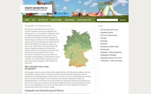
European geoportal for finding INSPIRE spatial datasets, map services, and geographic metadata.

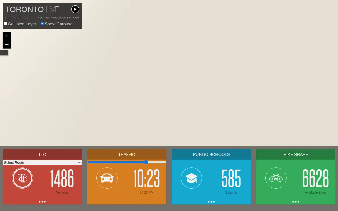
Esri map showing Toronto live layers, city activity, services, and local geographic data.
European geoportal for finding INSPIRE spatial datasets, map services, and geographic metadata.

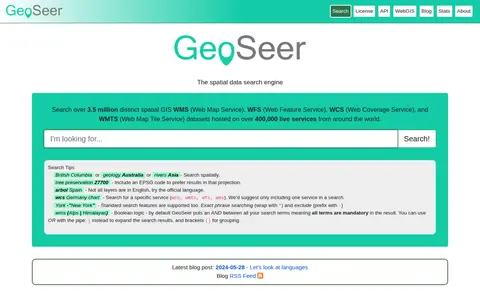
GeoSeer is a search engine for spatial web services. It is used to find WMS, WFS, WCS, and WMTS datasets for use within a GIS. The site states that searches cover over 3.5 million distinct spatial datasets hosted on over 400,000 live services worldwide. Search options include service type, EPSG code preference, exact phrases, exclusions, and boolean logic.

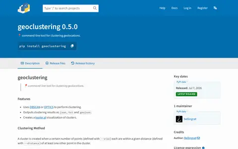
Python package for clustering geographic coordinates and grouping location data points.

Liveuamap page presenting Syrian Civil War news on an interactive map in English, covering the civil war, international intervention and terrorism in Syria. The site offers news, live updates and a map, and offers an ad-free option from $8 per month.
StreetComplete is an OpenStreetMap surveyor app. It finds missing map data in the user's vicinity and displays it on a map as quests, which are solved by visiting the location and answering a simple question. The info entered is added directly to OpenStreetMap in the user's name without using another editor.
Radio Scanner Text Feeds is an open-source website that transcribes live radio scanner audio into text in real time. Audio streams are split on voice activity, transcribed with speech recognition, and published to web feeds. Visitors can read the live text, listen to the audio, suggest alternate text, and vote on the text. Audio is sourced from Broadcastify.
Community notes
Be the first to share how this project worked for you.
Sign in with a verified account to leave a review or join the discussion.
Sign in to reviewKeep exploring
European geoportal for finding INSPIRE spatial datasets, map services, and geographic metadata.
GeoSeer is a search engine for spatial web services. It is used to find WMS, WFS, WCS, and WMTS datasets for use within a GIS. The site states that searches cover over 3.5 million distinct spatial datasets hosted on over 400,000 live services worldwide. Search options include service type, EPSG code preference, exact phrases, exclusions, and boolean logic.
Python package for clustering geographic coordinates and grouping location data points.
Liveuamap page presenting Syrian Civil War news on an interactive map in English, covering the civil war, international intervention and terrorism in Syria. The site offers news, live updates and a map, and offers an ad-free option from $8 per month.
StreetComplete is an OpenStreetMap surveyor app. It finds missing map data in the user's vicinity and displays it on a map as quests, which are solved by visiting the location and answering a simple question. The info entered is added directly to OpenStreetMap in the user's name without using another editor.
Radio Scanner Text Feeds is an open-source website that transcribes live radio scanner audio into text in real time. Audio streams are split on voice activity, transcribed with speech recognition, and published to web feeds. Visitors can read the live text, listen to the audio, suggest alternate text, and vote on the text. Audio is sourced from Broadcastify.