
rammb-slider.cira.colostate.edu
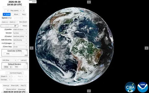
GOES-16 Satellite Imagery is an educational resource for documentaries, courses, books, reference material, or self-learning.
Directory
Published directory entries matching your search.
GOES-16 Satellite Imagery is an educational resource for documentaries, courses, books, reference material, or self-learning.

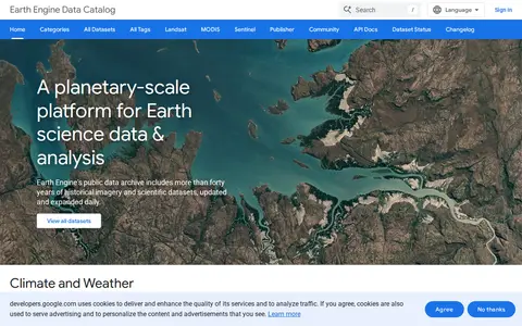
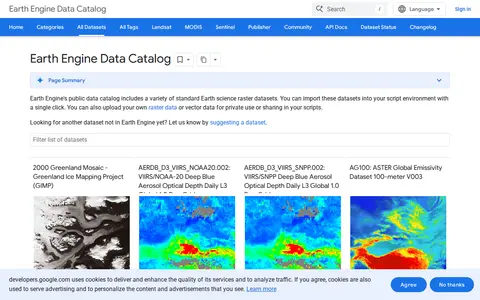
Google Earth Engine catalog of satellite imagery, climate data, land cover, and geospatial datasets.
DigitalGlobe discovery tools help explore satellite imagery, geospatial data, and earth observation resources.
Descartes Labs map viewer helps explore satellite imagery, geospatial layers, and earth observation data.

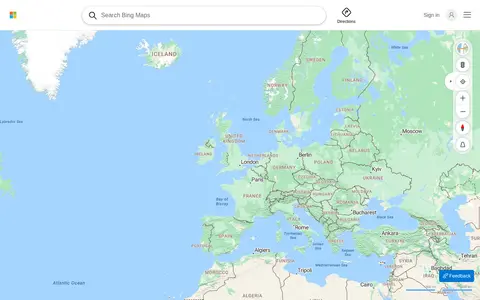
Bing Maps provides web maps, directions, traffic views, aerial imagery, and place search.

Curated GEOINT resource board with links for geospatial intelligence, maps, imagery, and location research.

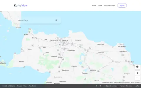
KartaView shows crowdsourced street-level imagery for roads, routes, and map improvement projects.
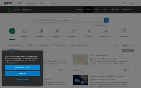
ArcGIS Living Atlas offers curated maps, imagery, demographic layers, and global geographic datasets.

Mapillary shows crowdsourced street-level imagery for roads, places, routes, and mapping projects.

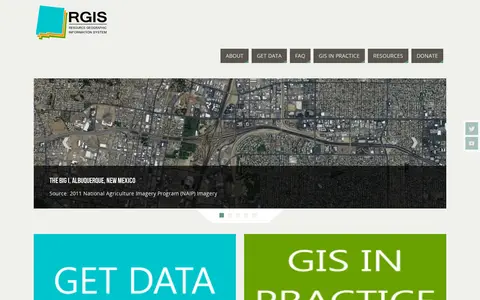
The New Mexico Resource Geographic Information System Program provides a data portal for GIS information. Its Image Archive Program, maintained by the Earth Data Analysis Center at the University of New Mexico, hosts historical aerial photography data for New Mexico and the US Southwest, alongside space shuttle imagery, satellite imagery, topographic maps, and digital data.

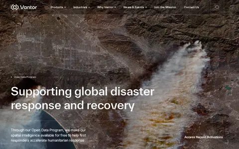
Vantor's Open Data Program provides free satellite imagery and spatial intelligence to first responders for disaster response and recovery. Imagery is released before and after events into the public domain under a Creative Commons BY-NC 4.0 license. The program activates when a sudden onset disaster is categorized as major and a Vantor FirstLook event service has been activated.

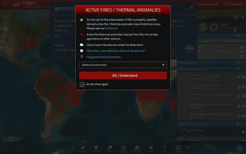
NASA FIRMS map shows satellite-detected fires, hotspots, and fire activity around the world.

Google Maps provides maps, directions, satellite views, business listings, street views, and location search.

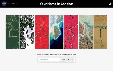
Your Name in Landsat is an interactive NASA and USGS tool that spells a typed name using Landsat satellite imagery of Earth, letter by letter, and allows sharing the resulting image. The satellite images come from Landsat's record spanning more than 50 years.

Cesium story viewer for exploring 3D geospatial scenes, maps, satellite data, and location narratives.
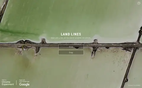
Land Lines is a Chrome experiment that lets users explore real Google Earth satellite imagery through gesture. Drawing finds satellite images matching a line, while dragging creates an infinite line of connected rivers, highways and coastlines. It runs in a phone or desktop browser without backend servers using machine learning and WebGL.

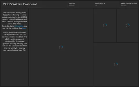
ArcGIS dashboard showing MODIS satellite wildfire detections, hotspots, and fire activity.

Planet Insights Browser is a component of the Planet Insights Platform that enables users to browse and compare full resolution satellite images from various data collections. Users can select an area of interest, define a time range and cloud coverage threshold, and inspect the results in the browser. The tool supports different visualizations, custom creation, high resolution image downloads, and timelapse generation. It provides visual, analytical, and download capabilities for satellite imagery.

Online world map service offering a satellite view of the Earth with labels, a ruler, place sharing, search and locating. It also lists route planning, state boundary tracking, city lists for each state and weather forecast.

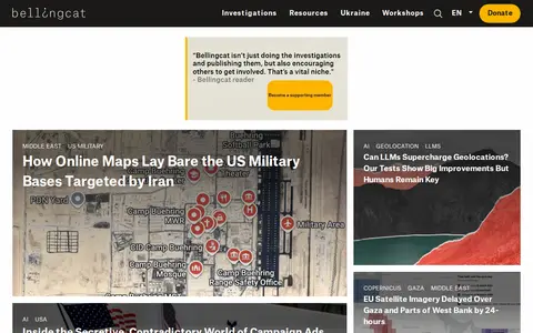
Bellingcat is a website for online open source investigations, publishing investigations and guides on topics including conflict, satellite imagery and social media. It hosts a membership program with access to training announcements and podcasts, community workshops, and a Discord server where researchers discuss investigations and collaborate.

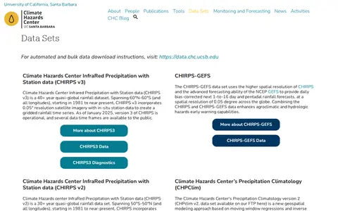
The Climate Hazards Center Data Archive provides access to gridded rainfall and temperature datasets, including CHIRPS, CHIRPS-GEFS, CHPClim, and CHIRTS. CHIRPS combines satellite imagery with station data to create rainfall time series; CHIRPS v3 covers 60°N-60°S from 1981 to near present. Bulk download instructions are available at a separate data site.

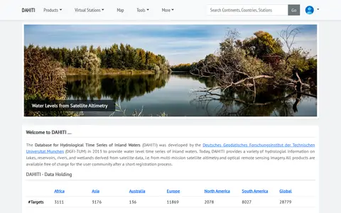
The Database for Hydrological Time Series of Inland Waters (DAHITI) was developed in 2013 by DGFI-TUM. It provides hydrological information on lakes, reservoirs, rivers and wetlands derived from satellite altimetry and optical remote sensing imagery. Products are available free of charge after a short registration process.
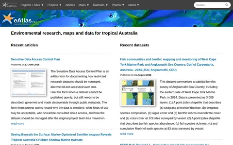
eAtlas is a source for environmental research, maps and data about tropical Australia. It lists recent articles and datasets, including marine habitat surveys, satellite imagery composites, coastal photogrammetry, and a form for documenting access to restricted research data.

A public catalog of Earth science raster and vector datasets that can be imported into a script environment with a single click. It also accepts uploaded raster or vector data for private use or sharing in scripts. Datasets cover satellite imagery, elevation models, land cover, climate, atmospheric measurements and demographic topics.