

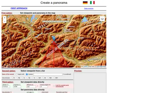
A web tool for creating mountain panoramas and identifying summits. A viewpoint can be set in a map, chosen from a summit list, or entered directly with latitude, longitude, altitude and camera height. View direction, zoom, resolution, tilt, sight range and elevation exaggeration can be set; JavaScript must be permitted.
DigitalGlobe
DigitalGlobe discovery tools help explore satellite imagery, geospatial data, and earth observation resources.
Screenshot unavailable. The listing stays available while a preview is prepared.
Links
Tags
-
0
A web tool for creating mountain panoramas and identifying summits. A viewpoint can be set in a map, chosen from a summit list, or entered directly with latitude, longitude, altitude and camera height. View direction, zoom, resolution, tilt, sight range and elevation exaggeration can be set; JavaScript must be permitted.
-
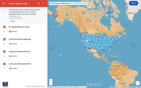
0Google map showing active agency locations, activity, or organizational presence by place.
-
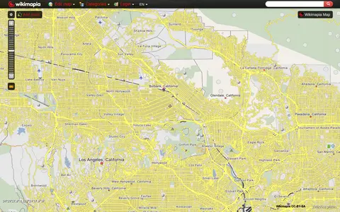
0Wikimapia combines maps with user-added place descriptions, boundaries, landmarks, and local notes.
-
0Online world map service offering a satellite view of the Earth with labels, a ruler, place sharing, search and locating. It also lists route planning, state boundary tracking, city lists for each state and weather forecast.
-
0Liveuamap is an independent global news and information site that reports on topics such as conflicts, human rights issues, protests, terrorism, weapons deployment, health matters, natural disasters and weather. It presents news through a map-centric approach and provides open online access to a chronological archive. It was founded in 2014 to inform about the Ukrainian conflict and later expanded to other regions.
-
0
MapQuest provides maps, route planning, driving directions, traffic, and local place search.
Community notes
Reviews and discussion
No reviews yet
Be the first to share how this project worked for you.
Join the discussion
Sign in with a verified account to leave a review or join the discussion.
Sign in to review