
repozytorium.uni.lodz.pl
Search engineering data collections and supporting datasets from POL.

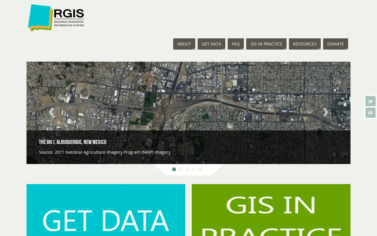
The New Mexico Resource Geographic Information System Program provides a data portal for GIS information. Its Image Archive Program, maintained by the Earth Data Analysis Center at the University of New Mexico, hosts historical aerial photography data for New Mexico and the US Southwest, alongside space shuttle imagery, satellite imagery, topographic maps, and digital data.
Search engineering data collections and supporting datasets from POL.

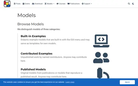
The Morpheus model repository is a searchable collection of simulation models organized as built-in examples, contributed examples, and published models. It offers full-text search and keyword tags, and registers each model with a persistent identifier. Users can submit MorpheusML-encoded model files.

ÖNB-API-IIIF enables you to view historical books, newspapers, postcards and create collections with them.

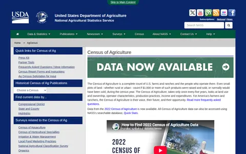
The Census of Agriculture is a complete count of U.S. farms and ranches and the people who operate them, taken once every five years. It examines land use and ownership, operator characteristics, production practices, income and expenditures. The National Agricultural Statistics Service provides access to agricultural data through the searchable Quick Stats database.

DataverseNL is a publicly accessible research data repository platform open to researchers at affiliated institutes and their collaborators. It supports FAIR data principles, allows custom access terms and restrictions, provides persistent identifiers and long-term preservation via backup storage, and facilitates team collaboration and change tracking for research projects. The platform helps users meet grant requirements and gain academic credit by improving data discoverability.

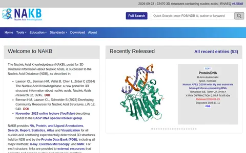
The Nucleic Acid Knowledgebase (NAKB) is a portal for 3D structural information about nucleic acids, succeeding the Nucleic Acid Database. It provides annotations, search, reports, statistics, an atlas and visualization for nucleic-acid containing structures held by the NDB and the Protein Data Bank, covering X-ray, electron microscopy and NMR methods. Each structure links to external resources annotating and analyzing nucleic acid structures and their complexes.
Community notes
Be the first to share how this project worked for you.
Sign in with a verified account to leave a review or join the discussion.
Sign in to reviewKeep exploring
Search engineering data collections and supporting datasets from POL.
The Morpheus model repository is a searchable collection of simulation models organized as built-in examples, contributed examples, and published models. It offers full-text search and keyword tags, and registers each model with a persistent identifier. Users can submit MorpheusML-encoded model files.
ÖNB-API-IIIF enables you to view historical books, newspapers, postcards and create collections with them.
The Census of Agriculture is a complete count of U.S. farms and ranches and the people who operate them, taken once every five years. It examines land use and ownership, operator characteristics, production practices, income and expenditures. The National Agricultural Statistics Service provides access to agricultural data through the searchable Quick Stats database.
DataverseNL is a publicly accessible research data repository platform open to researchers at affiliated institutes and their collaborators. It supports FAIR data principles, allows custom access terms and restrictions, provides persistent identifiers and long-term preservation via backup storage, and facilitates team collaboration and change tracking for research projects. The platform helps users meet grant requirements and gain academic credit by improving data discoverability.
The Nucleic Acid Knowledgebase (NAKB) is a portal for 3D structural information about nucleic acids, succeeding the Nucleic Acid Database. It provides annotations, search, reports, statistics, an atlas and visualization for nucleic-acid containing structures held by the NDB and the Protein Data Bank, covering X-ray, electron microscopy and NMR methods. Each structure links to external resources annotating and analyzing nucleic acid structures and their complexes.