


The Canadian Biodiversity Information Facility (CBIF) is a program operated by Agriculture and Agri-Food Canada. It supports the Global Biodiversity Information Facility by developing methods to improve the organization, exchange, correlation, and accessibility of primary biological species data relevant to Canadians. The facility’s work supports a wide range of social and economic decision-making, including biodiversity conservation efforts.
Vantor Open Data Program
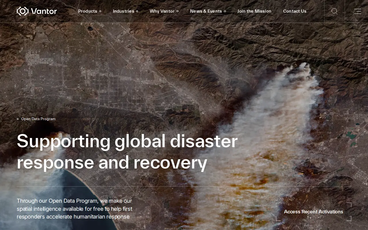
Vantor's Open Data Program provides free satellite imagery and spatial intelligence to first responders for disaster response and recovery. Imagery is released before and after events into the public domain under a Creative Commons BY-NC 4.0 license. The program activates when a sudden onset disaster is categorized as major and a Vantor FirstLook event service has been activated.
Features
- free satellite imagery and insights Source: vantor.com
Links
Tags
-
0The Canadian Biodiversity Information Facility (CBIF) is a program operated by Agriculture and Agri-Food Canada. It supports the Global Biodiversity Information Facility by developing methods to improve the organization, exchange, correlation, and accessibility of primary biological species data relevant to Canadians. The facility’s work supports a wide range of social and economic decision-making, including biodiversity conservation efforts.
-
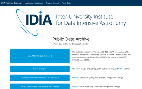
0The IDIA Science Gateway Public Data Archive provides a public data archive for IDIA support projects. It includes the first superMIGHTEE uGMRT data release with Stokes I mosaic images and source catalogues from observations of XMM-LSS, COSMOS and ECDFS, along with image and catalogue files for software testing and CARTA tutorials.
-
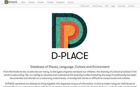
0D-PLACE is a database that brings together dispersed information on cultural practices, language and environment. It lets users build comparative datasets covering cultural features alongside linguistic and ecological data for societies. It aims to help people contrast their own cultural practices with those of other societies and consider factors behind similarities and differences.
-
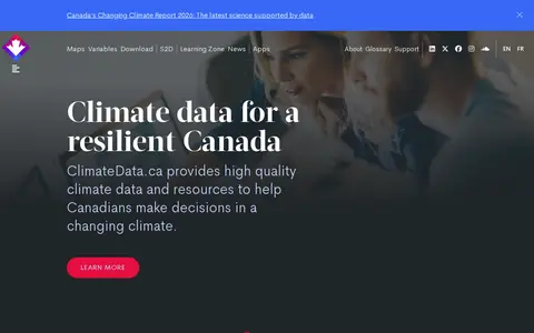
0ClimateData.ca provides climate data and resources intended to support decisions in a changing climate. The site offers maps and graphs for creating and downloading data visualizations, a searchable catalogue of 125 datasets, and on-demand processing to tailor datasets using custom thresholds and time periods. It also includes a Learning Zone and newsletters about updates.
-
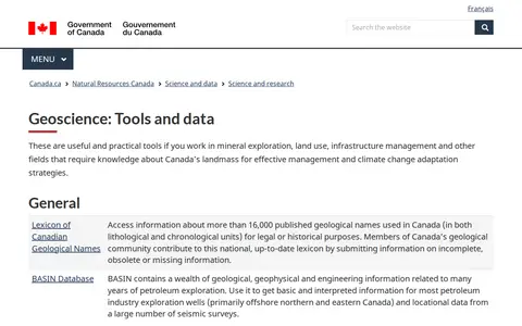
0A Natural Resources Canada geoscience tools and data page that gathers geological, geophysical and geochemical resources. It includes a lexicon of Canadian geological names, petroleum exploration databases, geochemical surveys, geophysical data repositories, groundwater and permafrost networks, and marine geoscience databases and map services.
-
0Searchable public dataset catalog maintained by Province Groningen, City of Groningen.
Community notes
Reviews and discussion
No reviews yet
Be the first to share how this project worked for you.
Join the discussion
Sign in with a verified account to leave a review or join the discussion.
Sign in to review