
gei.de
Dataset repository covering history, with searchable datasets.

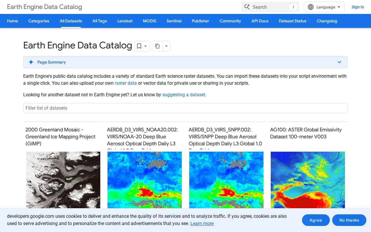
A public catalog of Earth science raster and vector datasets that can be imported into a script environment with a single click. It also accepts uploaded raster or vector data for private use or sharing in scripts. Datasets cover satellite imagery, elevation models, land cover, climate, atmospheric measurements and demographic topics.
Dataset repository covering history, with searchable datasets.

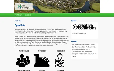
Browse public datasets, metadata and downloadable records in an open catalog.

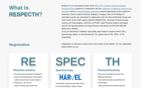
ReSpecTh is an information system of the MTA-ELTE Complex Chemical Systems Research Group at Eötvös Loránd University, Budapest. It covers reaction kinetics, spectroscopy and thermochemistry, holding indirect combustion measurements, gas phase rate coefficients, combustion mechanisms and analysis codes. Registration is required to access most content; the spectroscopy data moved to the MARVEL website.

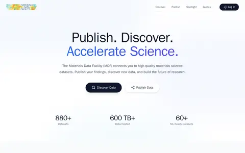
The Materials Data Facility (MDF) is a service for publishing, discovering and accessing materials science datasets. It supports minting DOIs for datasets and offers curated collections covering simulations, experimental data and machine-learning-ready data. Data can be uploaded from local storage, Globus endpoints or Google Drive, and datasets can be loaded with a Python package.

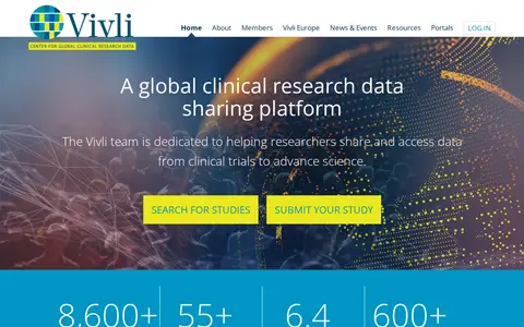
Vivli is a global clinical research data-sharing platform that facilitates scientific sharing and reuse of clinical research data. Researchers can search for studies and submit requests to access data from clinical trials; members contribute studies. Some members require enquiries via their own portals, and most members do not share studies before the primary completion date.

Browse research datasets and geospatial data related to atmospheric, oceanography and climate.
Community notes
Be the first to share how this project worked for you.
Sign in with a verified account to leave a review or join the discussion.
Sign in to reviewKeep exploring
Dataset repository covering history, with searchable datasets.
Browse public datasets, metadata and downloadable records in an open catalog.
ReSpecTh is an information system of the MTA-ELTE Complex Chemical Systems Research Group at Eötvös Loránd University, Budapest. It covers reaction kinetics, spectroscopy and thermochemistry, holding indirect combustion measurements, gas phase rate coefficients, combustion mechanisms and analysis codes. Registration is required to access most content; the spectroscopy data moved to the MARVEL website.
The Materials Data Facility (MDF) is a service for publishing, discovering and accessing materials science datasets. It supports minting DOIs for datasets and offers curated collections covering simulations, experimental data and machine-learning-ready data. Data can be uploaded from local storage, Globus endpoints or Google Drive, and datasets can be loaded with a Python package.
Vivli is a global clinical research data-sharing platform that facilitates scientific sharing and reuse of clinical research data. Researchers can search for studies and submit requests to access data from clinical trials; members contribute studies. Some members require enquiries via their own portals, and most members do not share studies before the primary completion date.
Browse research datasets and geospatial data related to atmospheric, oceanography and climate.