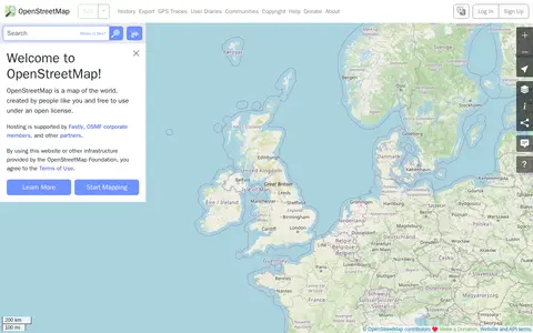
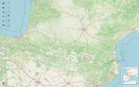
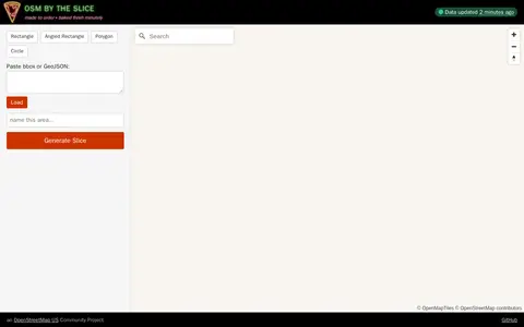
OpenStreetMap is a map of the world created by contributors and free to use under an open license. The site offers help resources, including a beginners' guide, a community forum, mailing lists and a wiki.
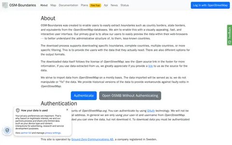
A web interface for extracting administrative boundaries from OpenStreetMap, such as country and state borders. Users can preview boundaries in the browser and download specific boundaries, whole countries, or filtered selections in various output formats. Data is served unmodified from OpenStreetMap, and downloading requires authentication through an OpenStreetMap.org account.
StreetComplete is an OpenStreetMap surveyor app. It finds missing map data in the user's vicinity and displays it on a map as quests, which are solved by visiting the location and answering a simple question. The info entered is added directly to OpenStreetMap in the user's name without using another editor.
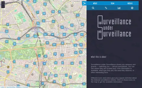
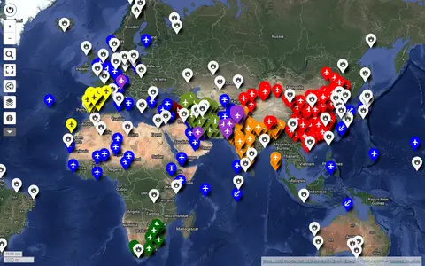
Surveillance under Surveillance is a map showing surveillance cameras and guards, with type, observed area and other information where available. It uses OpenStreetMap contributor data not visualized on the regular OpenStreetMap site, updated once an hour. New or revised entries can be added using an OSM account.
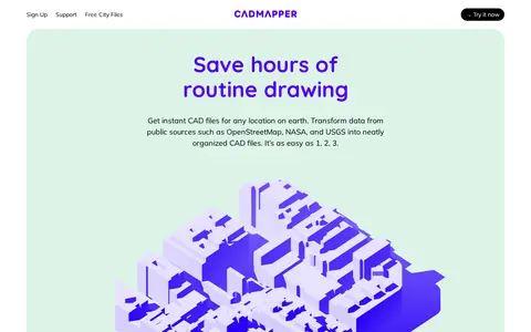
Cadmapper creates 3D CAD files of any area in the world from public data sources such as OpenStreetMap, NASA and USGS, producing organized, layered drawing files. Areas up to 1 km2 are free, files up to 100 km2 cost a small fee, and whole-city road network DXF files are free. It targets designers, architects and illustrators, with support for AutoCAD and SketchUp.
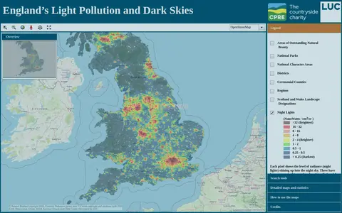
An online map of England's light pollution and dark skies. Users can search by postcode, district or National Character Area, tick boundaries in the legend to display them, and click the map for detailed information about an area. The map uses OpenStreetMap and World Imagery data and was developed by LUC.
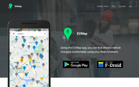
EVMap is an Android app for finding electric vehicle chargers, with map data from Google Maps or OpenStreetMap and community-maintained data. It offers place search, advanced filtering options, a favorites list and support for Android Auto and Android Automotive OS. The app is free and without ads.
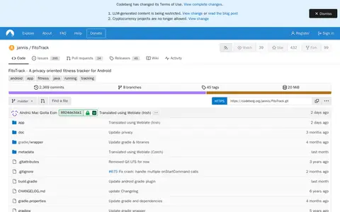
FitoTrack is an open-source Android app for logging and viewing workouts such as running, cycling and hiking. It records workout type, shows general data and position on a map, and includes speed, height and heart rate diagrams. Workouts can be exported as GPX and uploaded to OpenStreetMap. The source is licensed under GPLv3.
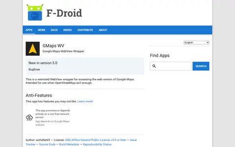
An Android app that wraps the web version of Google Maps in a restricted WebView for access when OpenStreetMap isn't enough. It depends on the Google Maps website, a non-free network service. It requires Android 5.0 or newer and is licensed under the GNU Affero General Public License v3.0 or later.
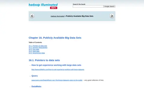
Hadoop Illuminated's Chapter 16 page lists pointers to publicly available big data sets, covering generic repositories, geo data, web data and government data. It links to sources such as Amazon AWS data sets, InfoChimps, the Comprehensive Knowledge Archive Network, OpenStreetMap, Wikipedia data, Google N-gram data, Freebase, data.gov and World Bank data.
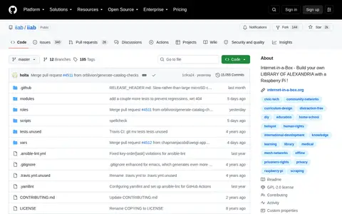
Internet-in-a-Box (IIAB) is an open-source, community-driven project that enables users to build an affordable, offline digital library server, most commonly using a Raspberry Pi. It creates a local learning hotspot that provides access to free educational content including Wikipedia in multiple languages, thousands of Khan Academy videos, zoomable OpenStreetMap, e-books and other resources without an internet connection. It includes tools to arrange content packs, offers 30+ educational apps, supports mesh networking for local knowledge exchange, and is intended for schools, clinics, libraries, prisons and community use.
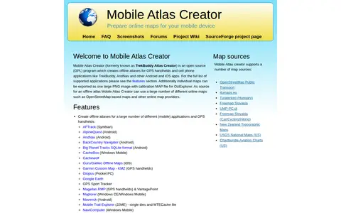
Mobile Atlas Creator (MOBAC) is an open source GPL program that creates offline atlases for GPS handhelds and cell phone applications from online map sources such as OpenStreetMap-based maps. It is written in Java and runs on Windows, Linux, and MacOS.
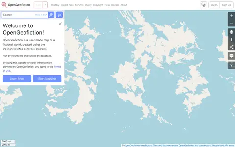
OpenGeofiction is a user-made map of a fictional world, created using the OpenStreetMap software platform. The site is run by volunteers and funded by donations, and use of the website or other provided infrastructure is subject to the Terms of Use. It offers a way to learn more and start mapping.
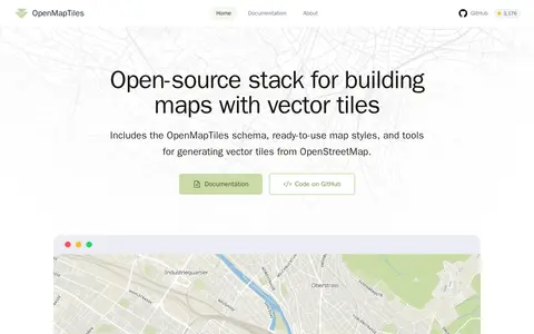
OpenMapTiles is an open-source stack for building world maps with OpenStreetMap vector tiles. It includes a vector tile schema, ready-to-use map styles, and tools for generating vector tiles. It works with MapLibre GL, Leaflet, OpenLayers, GIS, and WMTS. The project was created by MapTiler, which maintains the schema and tools.
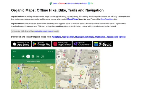
A free, open-source, privacy-focused offline maps and GPS app for hiking, cycling, biking and driving, powered by OpenStreetMap data. It offers detailed offline maps, cycling routes, hiking trails and walking paths, turn-by-turn navigation with voice guidance, and offline search on downloaded maps. The app is developed by the open-source community and the creators of MapsWithMe/Maps.Me.
A map interface built on OpenStreetMap that collects external cartographic tools and links them with automatic positioning on the current map extent. It offers a layers catalog for base layers and overlays, location search, and panes for StreetView images and webcams. Filters cover recently added links, favorites and tags.
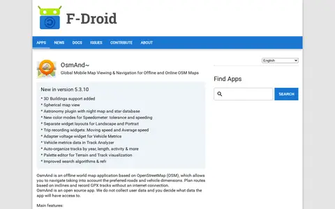
OsmAnd~ is an open source offline world map application based on OpenStreetMap, available from F-Droid. It offers map viewing, GPS navigation without an internet connection, route planning and GPX track recording. The listing notes anti-features including non-free assets and tracking via an installation ID sent with map download requests.
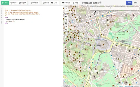
A web-based data mining tool for OpenStreetMap that runs Overpass API queries and displays results on an interactive map. The site requires a browser supporting the Web Storage API and cross-origin resource sharing, and notes that a more capable browser may be needed.
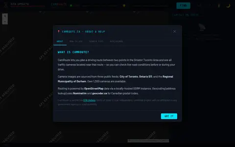
CamRoute is a tool for planning a driving route in the Greater Toronto Area and viewing traffic cameras near that route. It draws on over 1,300 cameras from the City of Toronto, Ontario 511, and Durham Region, with routing powered by OpenStreetMap data. It is described as an independent, unofficial project.
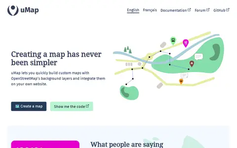
uMap is a free and open-source online map creator maintained by a community of contributors. It lets users build custom maps using OpenStreetMap background layers, draw lines and polygons, import information layers, and embed maps on websites. A graphical interface allows creating interactive maps without coding, and additional features include heatmaps, clustering and slideshows, without requiring an account.
The University of Southampton Open Data Service gathers information from the University's sub-parts and offers it as smartphone apps, web tools and reusable datasets. It includes an interactive map built with OpenStreetMap, an events calendar, term dates, building lists, organisation structure and an index of datasets in programmer-friendly formats.