


The official Organic Maps Telegram group covers Organic Maps, described as open-source, privacy-friendly, fast and detailed offline maps for iOS and Android. The group also links to ways of supporting the app's development and to a channel for Russian speakers.
Organic Maps
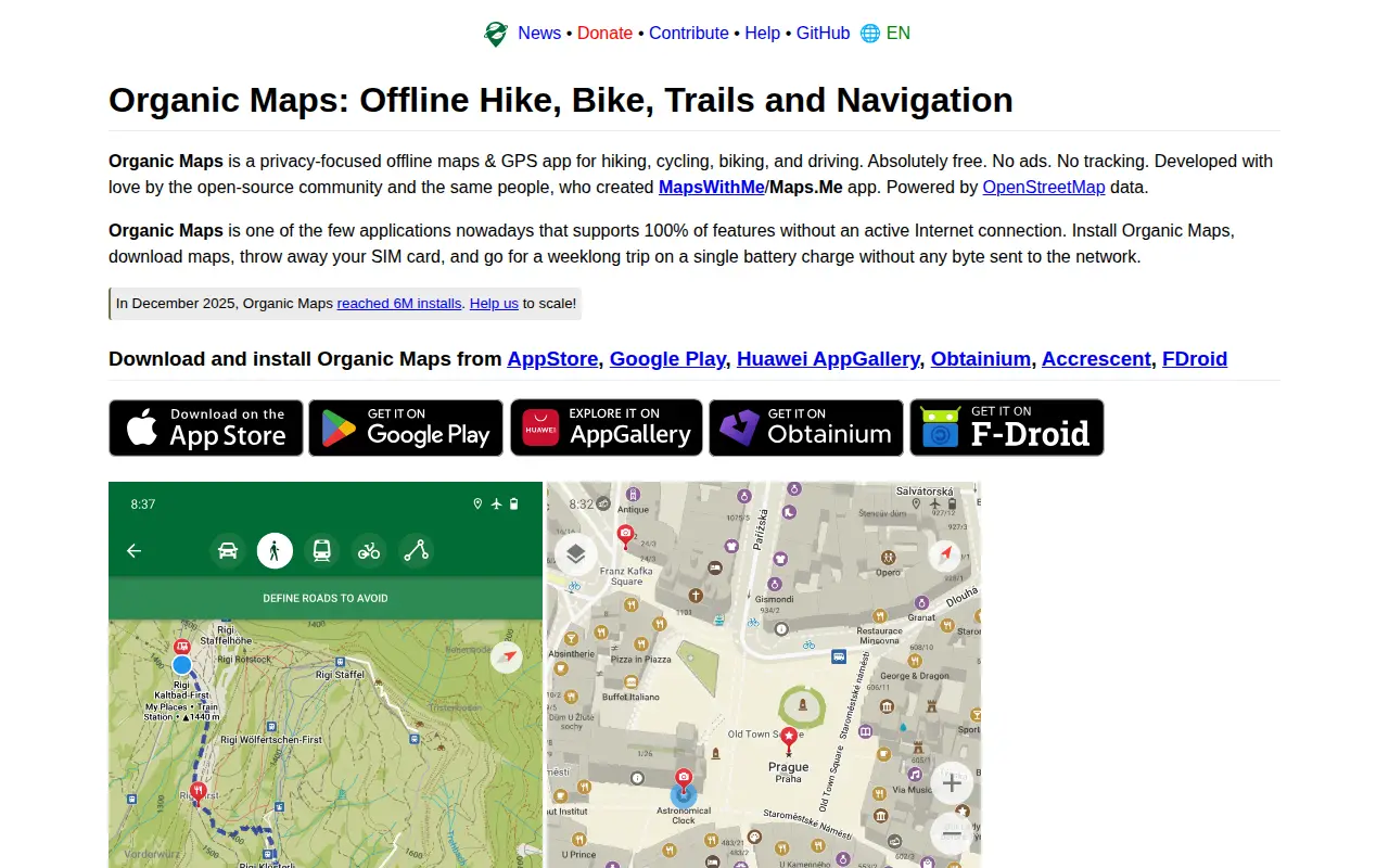
A free, open-source, privacy-focused offline maps and GPS app for hiking, cycling, biking and driving, powered by OpenStreetMap data. It offers detailed offline maps, cycling routes, hiking trails and walking paths, turn-by-turn navigation with voice guidance, and offline search on downloaded maps. The app is developed by the open-source community and the creators of MapsWithMe/Maps.Me.
Features
- privacy-focused offline maps & GPS app for hiking, cycling, biking, and driving Source: organicmaps.app
Links
Tags
-
0The official Organic Maps Telegram group covers Organic Maps, described as open-source, privacy-friendly, fast and detailed offline maps for iOS and Android. The group also links to ways of supporting the app's development and to a channel for Russian speakers.
-
0GPS Visualizer is an online utility that creates customizable maps and profiles from GPS data such as tracklogs and waypoints, addresses, or coordinates. Input can include driving routes, street addresses, or simple coordinates, and output includes Leaflet/Google maps, Google Earth KML, and JPG/PNG/SVG maps. The site states it has been on the Web since October 2002.
-
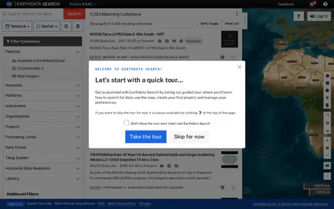
0Earthdata Search is a browser-based tool for searching, discovering, visualizing, refining and accessing NASA Earth Observation data. The site requires a JavaScript-aware browser, and an upgraded browser is needed to use it. Earthdata Access is offered as a Section 508 accessible alternative.
-
0
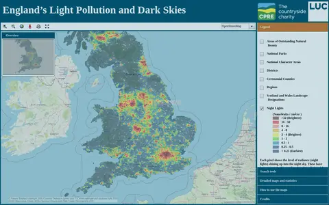
An online map of England's light pollution and dark skies. Users can search by postcode, district or National Character Area, tick boundaries in the legend to display them, and click the map for detailed information about an area. The map uses OpenStreetMap and World Imagery data and was developed by LUC.
-
0CruiseMapper offers free cruise tracking, showing current ship positions, along with itinerary schedules, deck plans, cabin information, and reports on cruise accidents and incidents. It also publishes cruise news and covers a wide range of cruise lines and river cruises.
-
0
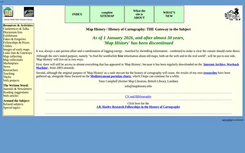
A World-Wide Web Virtual Library site that provided an organized overview of the history of cartography, including resources and activities, with links to map image sites and web articles. As of 1 January 2026, after almost 30 years, the site has been discontinued.
Community notes
Reviews and discussion
No reviews yet
Be the first to share how this project worked for you.
Join the discussion
Sign in with a verified account to leave a review or join the discussion.
Sign in to review