




A free interactive map of 9,079 castles, fortresses, palaces and ruins across 155 countries, each with a photo and story. Points can be clicked for quick facts, and individual pages give full stories and locations. Data comes from Wikidata, Wikimedia Commons, Wikipedia and OpenFreeMap.
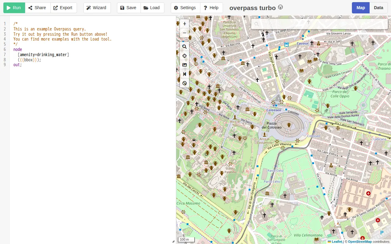
overpass turbo
A web-based data mining tool for OpenStreetMap that runs Overpass API queries and displays results on an interactive map. The site requires a browser supporting the Web Storage API and cross-origin resource sharing, and notes that a more capable browser may be needed.
Features
- runs any kind of Overpass API query Source: overpass-turbo.eu
- shows the results on an interactive map Source: overpass-turbo.eu
Links
Tags
-
0A free interactive map of 9,079 castles, fortresses, palaces and ruins across 155 countries, each with a photo and story. Points can be clicked for quick facts, and individual pages give full stories and locations. Data comes from Wikidata, Wikimedia Commons, Wikipedia and OpenFreeMap.
-
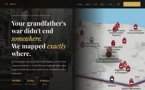
0Project ’44 is a free interactive map of the Second World War built from original war diaries, with unit positions and diary pages traced to scanned primary documents. It also offers search of units by name, date or place and stories from the archive.
-
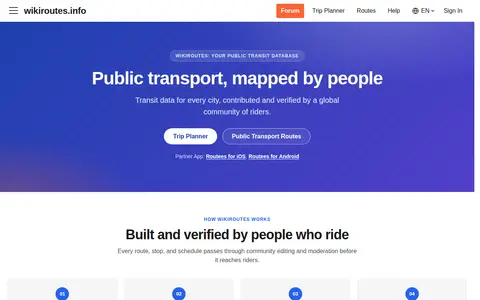
0Wikiroutes is a crowdsourced public transport directory with an interactive map, schedules and route search for buses, trolleybuses and trams. Routes, stops and schedules pass through community editing and moderation before publication, and accepted changes appear on the site immediately.
-
0UrbanRail.Net is a site about metro, subway, and light rail systems. It lists cities including Amsterdam, London, Moscow, Tokyo, and Sydney, and offers publications such as a tram atlas. The site is maintained and updated by Robert Schwandl.
-
0Google Earth is available on web, mobile and desktop. On mobile it allows users to browse the globe, add placemarks and annotate maps. On desktop, Google Earth Pro offers advanced tools including importing and exporting GIS data and viewing historical imagery, on PC, Mac or Linux.
-
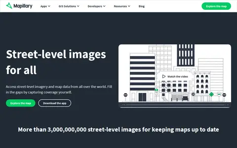
0Mapillary is a platform that hosts, processes, and publishes street-level imagery and map data. It combines collaborative image contributions with computer vision to scale and automate mapping, and offers access to street-level imagery and map data from around the world.
Community notes
Reviews and discussion
No reviews yet
Be the first to share how this project worked for you.
Join the discussion
Sign in with a verified account to leave a review or join the discussion.
Sign in to review