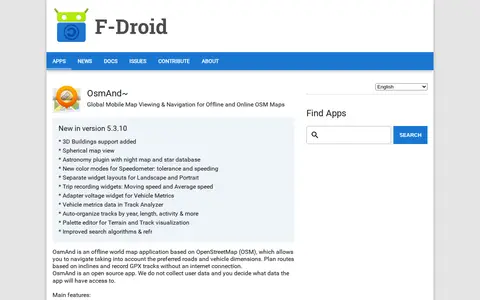

OsmAnd~ is an open source offline world map application based on OpenStreetMap, available from F-Droid. It offers map viewing, GPS navigation without an internet connection, route planning and GPX track recording. The listing notes anti-features including non-free assets and tracking via an installation ID sent with map download requests.
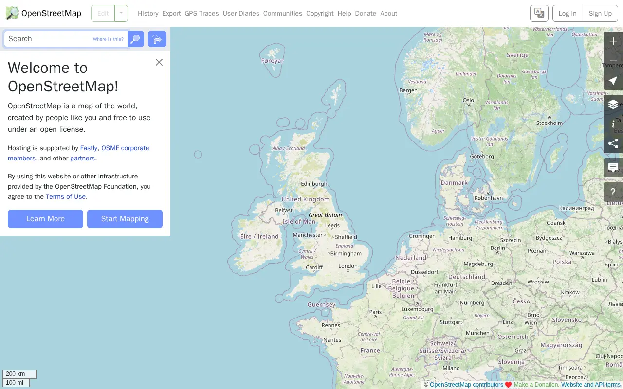
OpenStreetMap
OpenStreetMap is a map of the world created by contributors and free to use under an open license. The site offers help resources, including a beginners' guide, a community forum, mailing lists and a wiki.
Features
- map of the world, created by people like you Source: www.openstreetmap.org
Pricing details
- free to use under an open license Source: www.openstreetmap.org
Links
Tags
-
0OsmAnd~ is an open source offline world map application based on OpenStreetMap, available from F-Droid. It offers map viewing, GPS navigation without an internet connection, route planning and GPX track recording. The listing notes anti-features including non-free assets and tracking via an installation ID sent with map download requests.
-
0
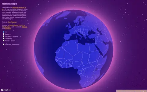
Notable People is a map showing birthplaces of the most notable people around the world, using data from Morgane Laouenan et al. The data has been processed to display only one person for each unique geographic location with the highest notability rank, with filters by category.
-
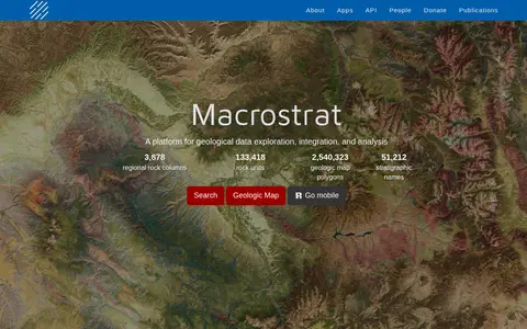
0Macrostrat is a platform for exploring, integrating and analysing geological data. It aggregates geologic maps from data providers and links map polygons to rock columns, stratigraphic names and geochronological intervals. The site offers a searchable geologic map and an API. Interactive applications built on the platform are intended for educational and research purposes.
-
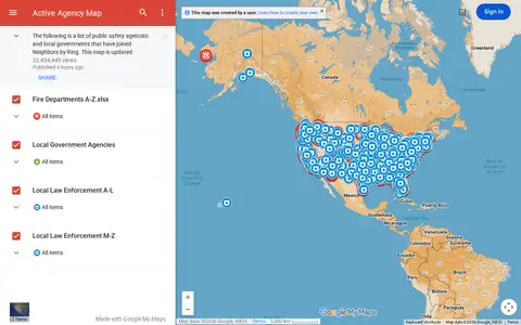
0Google map showing active agency locations, activity, or organizational presence by place.
-
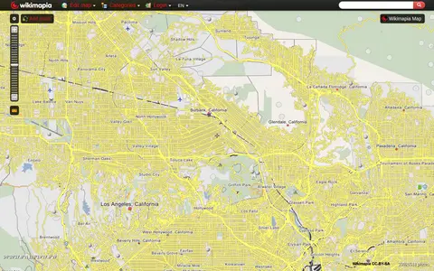
0Wikimapia combines maps with user-added place descriptions, boundaries, landmarks, and local notes.
-
0
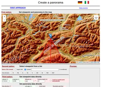
A web tool for creating mountain panoramas and identifying summits. A viewpoint can be set in a map, chosen from a summit list, or entered directly with latitude, longitude, altitude and camera height. View direction, zoom, resolution, tilt, sight range and elevation exaggeration can be set; JavaScript must be permitted.
Community notes
Reviews and discussion
No reviews yet
Be the first to share how this project worked for you.
Join the discussion
Sign in with a verified account to leave a review or join the discussion.
Sign in to review