
sodertalje.se
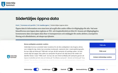
Find published open datasets through filters, categories and keyword search.

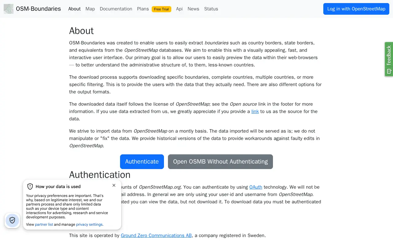
A web interface for extracting administrative boundaries from OpenStreetMap, such as country and state borders. Users can preview boundaries in the browser and download specific boundaries, whole countries, or filtered selections in various output formats. Data is served unmodified from OpenStreetMap, and downloading requires authentication through an OpenStreetMap.org account.
Find published open datasets through filters, categories and keyword search.

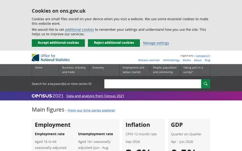
The Office for National Statistics is described as the UK's largest independent producer of official statistics and the recognised national statistical institute of the UK. The site presents main figures on employment, inflation, GDP and UK population, offers a local statistics explorer, and lists latest releases alongside a shopping comparison tool.

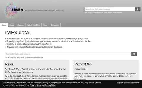
IMEx data is a non-redundant set of physical molecular interaction data curated from direct submissions, peer-reviewed journals or pre-prints. It is available in MITAB or PSI-MI XML 3.0 formats and provided by a network of participating public domain databases.

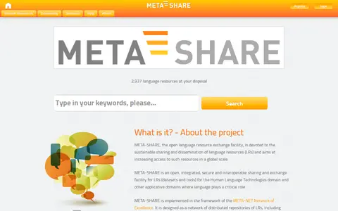
META-SHARE is an open language resource exchange facility for sharing and disseminating language resources. It is a network of distributed repositories holding language data and basic language processing tools, documented with metadata for uniform search and access. Members maintain their own repositories or deposit resources with hosting repositories, and third parties can search the network and acquire resources under licensing terms.
Find and access engineering research data, with indexed dataset.

Search engineering data collections and supporting image from DEU.
Community notes
Be the first to share how this project worked for you.
Sign in with a verified account to leave a review or join the discussion.
Sign in to reviewKeep exploring
Find published open datasets through filters, categories and keyword search.
The Office for National Statistics is described as the UK's largest independent producer of official statistics and the recognised national statistical institute of the UK. The site presents main figures on employment, inflation, GDP and UK population, offers a local statistics explorer, and lists latest releases alongside a shopping comparison tool.
IMEx data is a non-redundant set of physical molecular interaction data curated from direct submissions, peer-reviewed journals or pre-prints. It is available in MITAB or PSI-MI XML 3.0 formats and provided by a network of participating public domain databases.
META-SHARE is an open language resource exchange facility for sharing and disseminating language resources. It is a network of distributed repositories holding language data and basic language processing tools, documented with metadata for uniform search and access. Members maintain their own repositories or deposit resources with hosting repositories, and third parties can search the network and acquire resources under licensing terms.
Find and access engineering research data, with indexed dataset.
Search engineering data collections and supporting image from DEU.