


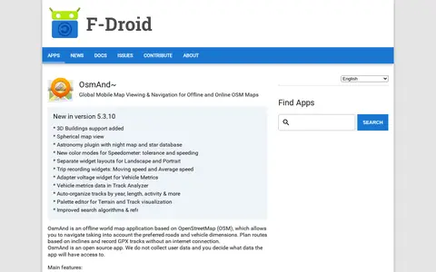

OsmAnd~ is an open source offline world map application based on OpenStreetMap, available from F-Droid. It offers map viewing, GPS navigation without an internet connection, route planning and GPX track recording. The listing notes anti-features including non-free assets and tracking via an installation ID sent with map download requests.
OpenMapTiles
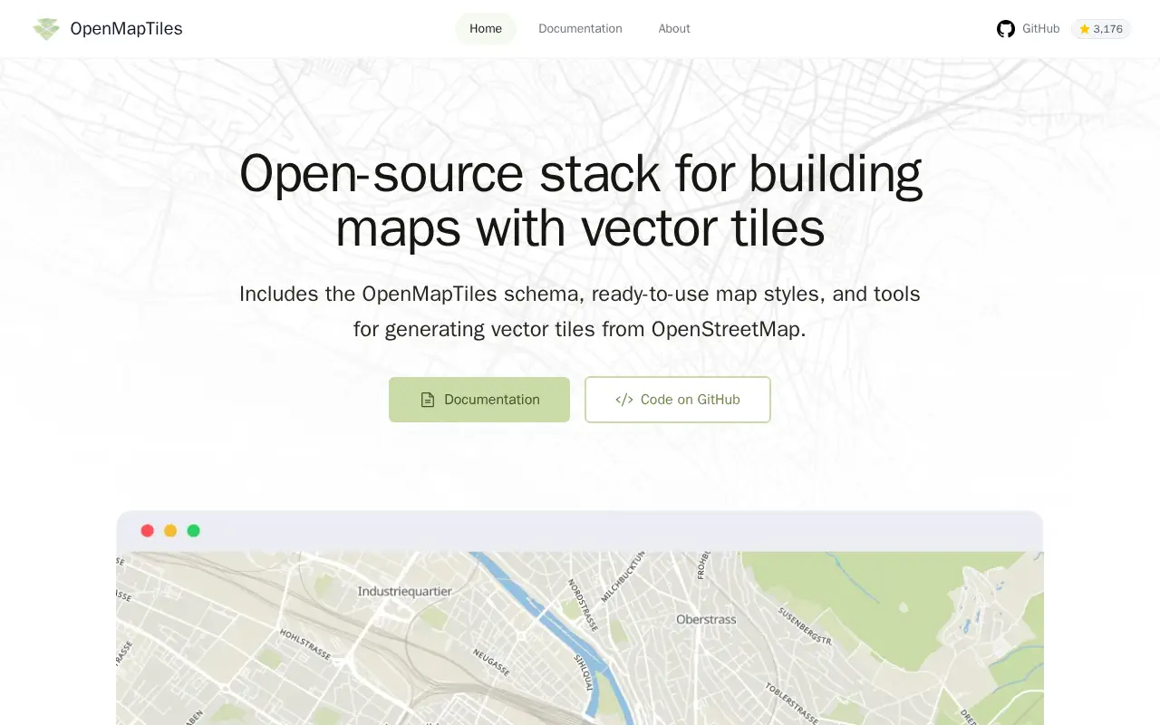
OpenMapTiles is an open-source stack for building world maps with OpenStreetMap vector tiles. It includes a vector tile schema, ready-to-use map styles, and tools for generating vector tiles. It works with MapLibre GL, Leaflet, OpenLayers, GIS, and WMTS. The project was created by MapTiler, which maintains the schema and tools.
Features
- open-source OpenStreetMap vector tiles, map styles, tools, and schema Source: openmaptiles.org
Platforms
- Works with MapLibre GL, Leaflet, OpenLayers, GIS, and WMTS Source: openmaptiles.org
Links
Tags
-
0OsmAnd~ is an open source offline world map application based on OpenStreetMap, available from F-Droid. It offers map viewing, GPS navigation without an internet connection, route planning and GPX track recording. The listing notes anti-features including non-free assets and tracking via an installation ID sent with map download requests.
-
0
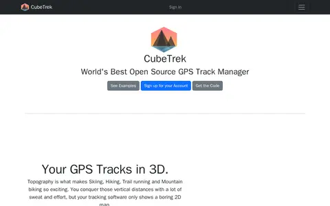
CubeTrek is an open source GPS track manager that displays tracks in 3D, letting users view all their activities in one place. It offers a replay mode, performance measurement and comparison, a personal calendar heatmap, and activity matching. Tracks can be imported from FIT and GPX files and synced with Garmin Connect, Polar Flow and Coros.
-
0Orbatmapper helps discover apps, SaaS products, no-signup tools, clones, or software alternatives.
-
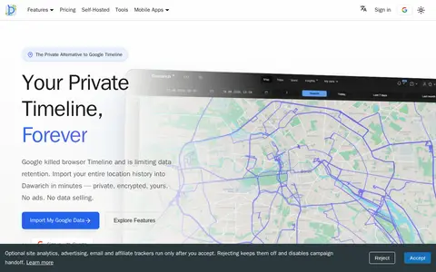
0Dawarich is a self-hostable web application for storing and visualizing personal location history as a private alternative to Google Timeline. It imports Google Takeout data and works with apps such as OwnTracks and GPSLogger. The official iOS and Android apps record location on the device offline and upload points once back online. An API provides endpoints for location data, tracks, visits and statistics.
-
0
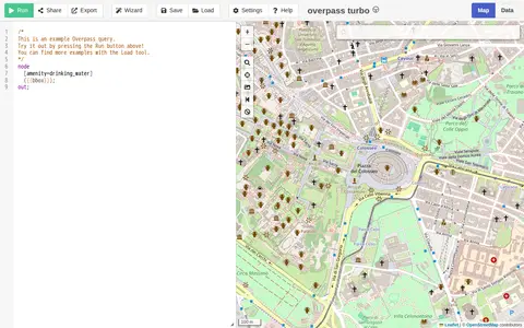
A web-based data mining tool for OpenStreetMap that runs Overpass API queries and displays results on an interactive map. The site requires a browser supporting the Web Storage API and cross-origin resource sharing, and notes that a more capable browser may be needed.
-
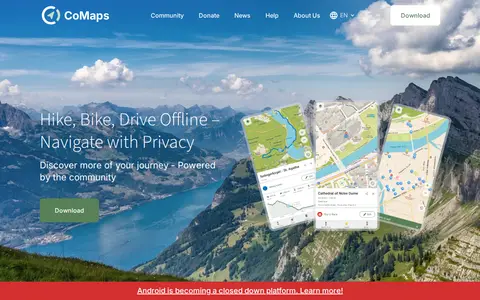
0CoMaps is an open-source offline maps app built by a community. It offers offline search, turn-by-turn routing by foot, bike or car, an outdoor mode, and a public transport layer. The app is a fork of Organic Maps and Maps.Me.
Community notes
Reviews and discussion
No reviews yet
Be the first to share how this project worked for you.
Join the discussion
Sign in with a verified account to leave a review or join the discussion.
Sign in to review