
data.isric.org
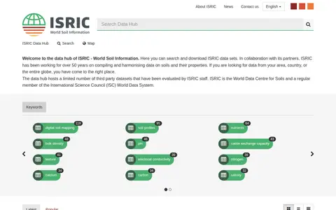
ISRIC data hub for finding global soil maps, soil profiles, and land resource datasets.
Directory
Published directory entries matching your search.
ISRIC data hub for finding global soil maps, soil profiles, and land resource datasets.
Open-data catalog covering Minnesota, United States, with filters and downloadable records.

WorldPop is a geospatial and population research project that develops and provides open access, high-resolution spatial demographic datasets and solutions, with a focus on low- and middle-income countries. The project creates peer-reviewed research and methods for constructing these datasets, and offers access to bespoke country-level and global or regional datasets, along with tools including an API and GIS plugins.
Browse public datasets, metadata and downloadable records in an open catalog.

GeoNames is a geographical database covering all countries, containing over eleven million placenames available for free download. It provides REST web services for accessing geographical data, with both free and premium service tiers, including data on elevation, country codes, and postal codes.

Python package for clustering geographic coordinates and grouping location data points.

API for accessing geolocated protest and unrest data for maps, analysis, and research workflows.

ArcGIS dashboard mapping residential fire fatalities in Indiana with incident and location data.

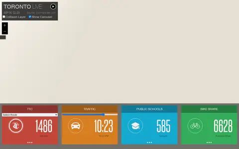
Esri map showing Toronto live layers, city activity, services, and local geographic data.

Cesium story viewer for exploring 3D geospatial scenes, maps, satellite data, and location narratives.
DigitalGlobe discovery tools help explore satellite imagery, geospatial data, and earth observation resources.

Geolocation OSINT tool for collecting location clues from social media and online sources.
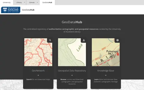
Authoritative national repository of cartographic and geospatial resources.

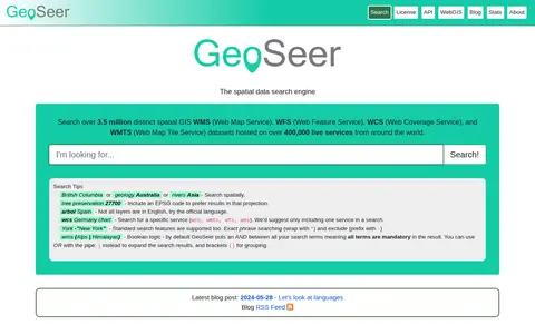
GeoSeer is a search engine for spatial web services. It is used to find WMS, WFS, WCS, and WMTS datasets for use within a GIS. The site states that searches cover over 3.5 million distinct spatial datasets hosted on over 400,000 live services worldwide. Search options include service type, EPSG code preference, exact phrases, exclusions, and boolean logic.
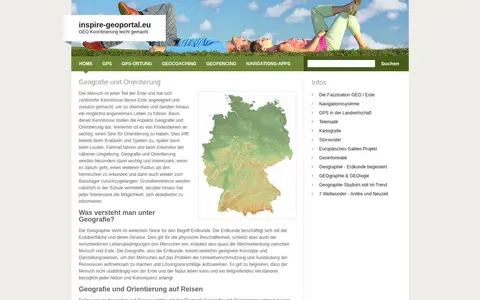
European geoportal for finding INSPIRE spatial datasets, map services, and geographic metadata.
Descartes Labs map viewer helps explore satellite imagery, geospatial layers, and earth observation data.

MongoDB is a document-oriented operational database that stores data in flexible JSON-like documents. The documentation describes built-in query capabilities including geospatial search, lexical search and vector search, and the platform page lists Atlas use cases such as vector search and stream processing.

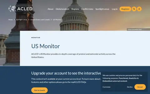
ACLED crisis monitor mapping protests, political violence, and social unrest across the United States.