inspire-geoportal.eu
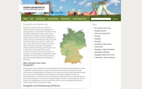
European geoportal for finding INSPIRE spatial datasets, map services, and geographic metadata.

ArcGIS dashboard mapping residential fire fatalities in Indiana with incident and location data.
European geoportal for finding INSPIRE spatial datasets, map services, and geographic metadata.

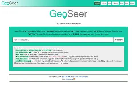
GeoSeer is a search engine for spatial web services. It is used to find WMS, WFS, WCS, and WMTS datasets for use within a GIS. The site states that searches cover over 3.5 million distinct spatial datasets hosted on over 400,000 live services worldwide. Search options include service type, EPSG code preference, exact phrases, exclusions, and boolean logic.

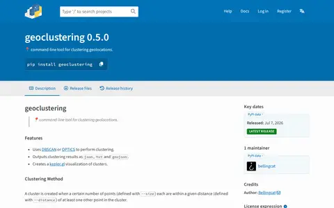
Python package for clustering geographic coordinates and grouping location data points.

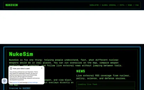
NukeSim is an educational nuclear explosion simulator with effects modeling. It lets users run scenarios on a map, compare weapon profiles, view blast, thermal, radiation and fallout overlays, browse a global arsenal database, read articles and follow external nuclear news. The project states it is inspired by NUKEMAP.

The official Organic Maps Telegram group covers Organic Maps, described as open-source, privacy-friendly, fast and detailed offline maps for iOS and Android. The group also links to ways of supporting the app's development and to a channel for Russian speakers.

Historic Aerials is an online collection of historical aerial imagery, topographic maps, and modern aerials covering the United States. An interactive viewer lets users explore locations, zoom, and switch between decades, with imagery dating back to the 1920s. The service offers subscriptions and individual purchases of digital downloads and prints.
Community notes
Be the first to share how this project worked for you.
Sign in with a verified account to leave a review or join the discussion.
Sign in to reviewKeep exploring
European geoportal for finding INSPIRE spatial datasets, map services, and geographic metadata.
GeoSeer is a search engine for spatial web services. It is used to find WMS, WFS, WCS, and WMTS datasets for use within a GIS. The site states that searches cover over 3.5 million distinct spatial datasets hosted on over 400,000 live services worldwide. Search options include service type, EPSG code preference, exact phrases, exclusions, and boolean logic.
Python package for clustering geographic coordinates and grouping location data points.
NukeSim is an educational nuclear explosion simulator with effects modeling. It lets users run scenarios on a map, compare weapon profiles, view blast, thermal, radiation and fallout overlays, browse a global arsenal database, read articles and follow external nuclear news. The project states it is inspired by NUKEMAP.
The official Organic Maps Telegram group covers Organic Maps, described as open-source, privacy-friendly, fast and detailed offline maps for iOS and Android. The group also links to ways of supporting the app's development and to a channel for Russian speakers.
Historic Aerials is an online collection of historical aerial imagery, topographic maps, and modern aerials covering the United States. An interactive viewer lets users explore locations, zoom, and switch between decades, with imagery dating back to the 1920s. The service offers subscriptions and individual purchases of digital downloads and prints.