inspire-geoportal.eu
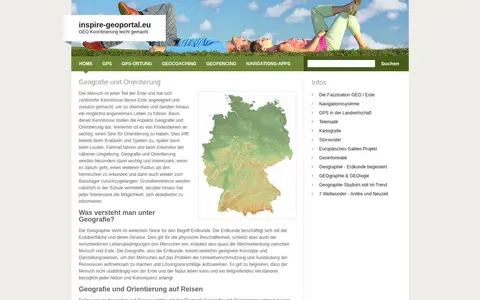
European geoportal for finding INSPIRE spatial datasets, map services, and geographic metadata.

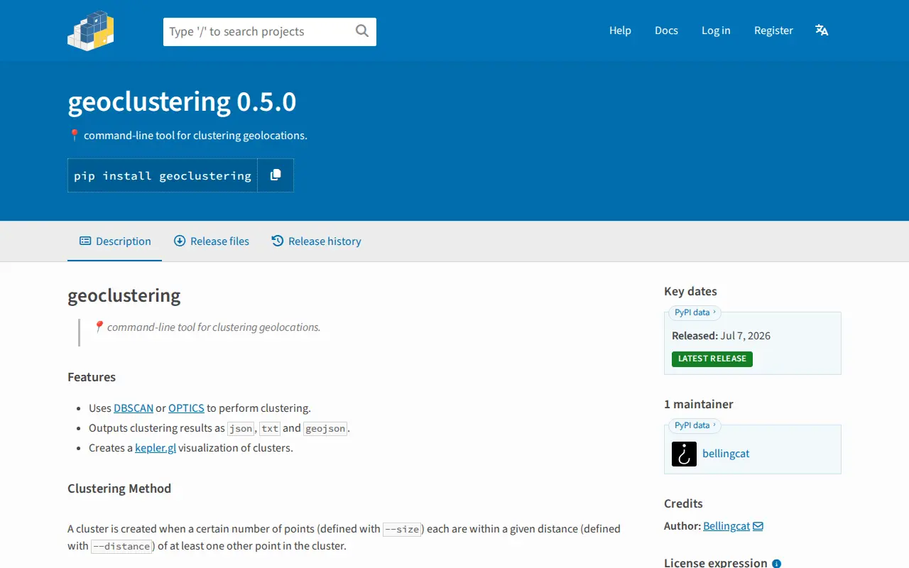
Python package for clustering geographic coordinates and grouping location data points.
European geoportal for finding INSPIRE spatial datasets, map services, and geographic metadata.

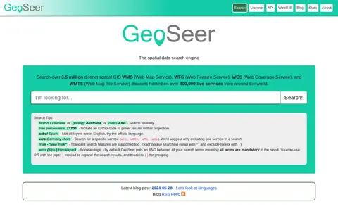
GeoSeer is a search engine for spatial web services. It is used to find WMS, WFS, WCS, and WMTS datasets for use within a GIS. The site states that searches cover over 3.5 million distinct spatial datasets hosted on over 400,000 live services worldwide. Search options include service type, EPSG code preference, exact phrases, exclusions, and boolean logic.

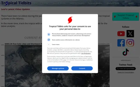
Tropical Tidbits provides tropical weather and Atlantic hurricane information, analysis and forecasts, presented by Levi Cowan. The site includes sections for current storms, aircraft reconnaissance, satellite imagery, forecast models and analysis tools.

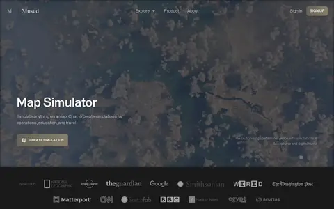
Mused is a miscellaneous web resource for discovery, directories, archives, web culture, or useful tools.

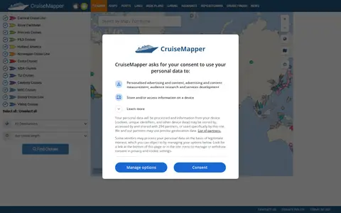
CruiseMapper offers free cruise tracking, showing current ship positions, along with itinerary schedules, deck plans, cabin information, and reports on cruise accidents and incidents. It also publishes cruise news and covers a wide range of cruise lines and river cruises.
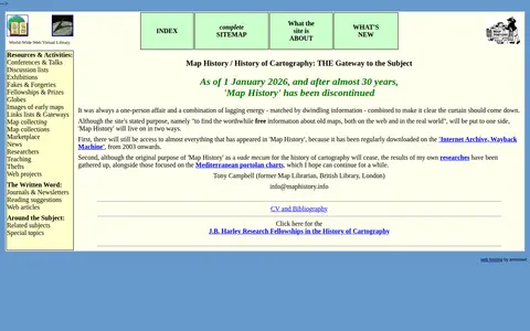
A World-Wide Web Virtual Library site that provided an organized overview of the history of cartography, including resources and activities, with links to map image sites and web articles. As of 1 January 2026, after almost 30 years, the site has been discontinued.
Community notes
Be the first to share how this project worked for you.
Sign in with a verified account to leave a review or join the discussion.
Sign in to reviewKeep exploring
European geoportal for finding INSPIRE spatial datasets, map services, and geographic metadata.
GeoSeer is a search engine for spatial web services. It is used to find WMS, WFS, WCS, and WMTS datasets for use within a GIS. The site states that searches cover over 3.5 million distinct spatial datasets hosted on over 400,000 live services worldwide. Search options include service type, EPSG code preference, exact phrases, exclusions, and boolean logic.
Tropical Tidbits provides tropical weather and Atlantic hurricane information, analysis and forecasts, presented by Levi Cowan. The site includes sections for current storms, aircraft reconnaissance, satellite imagery, forecast models and analysis tools.
Mused is a miscellaneous web resource for discovery, directories, archives, web culture, or useful tools.
CruiseMapper offers free cruise tracking, showing current ship positions, along with itinerary schedules, deck plans, cabin information, and reports on cruise accidents and incidents. It also publishes cruise news and covers a wide range of cruise lines and river cruises.
A World-Wide Web Virtual Library site that provided an organized overview of the history of cartography, including resources and activities, with links to map image sites and web articles. As of 1 January 2026, after almost 30 years, the site has been discontinued.