tree-map.nycgovparks.org
NYC Tree Map is a miscellaneous web resource for discovery, directories, archives, web culture, or useful tools.
Directory
Maps and Transportation collects tools for finding your way and tracking things that move. Maps and navigation holds map services, routing engines, and public transit planners. Vehicles and VIN covers vehicle history lookups and identification tools. Maritime tracking lists ship trackers and port data, and geolocation tools collects services that work from coordinates, IP addresses, or phone signals. Radio and communications covers aviation, marine, and amateur radio references that depend on location, and real estate and property adds land and building lookup tools. Flight tracking, weather, and live maps and webcams are smaller topics in the same category. Several entries use public or crowd-sourced data, which means coverage is uneven between countries and can be out of date, so check a source before you rely on it for a journey or a decision.
NYC Tree Map is a miscellaneous web resource for discovery, directories, archives, web culture, or useful tools.

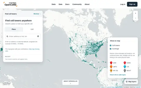
OpenCelliD is a community-built open database of cell towers and their estimated locations. Contributors record nearby cell identifiers with GPS locations, and the data is processed into cell location estimates. The dataset covers GSM, CDMA, UMTS, LTE and 5G NR networks and is available through an API and CSV downloads, supporting device geolocation without GPS.

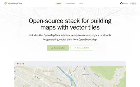
OpenMapTiles is an open-source stack for building world maps with OpenStreetMap vector tiles. It includes a vector tile schema, ready-to-use map styles, and tools for generating vector tiles. It works with MapLibre GL, Leaflet, OpenLayers, GIS, and WMTS. The project was created by MapTiler, which maintains the schema and tools.

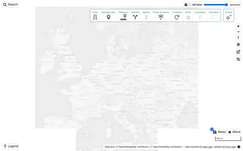
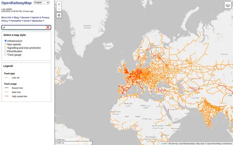
Explore railway infrastructure on a world map.

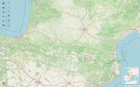
Openrailwaymap is a miscellaneous web resource for discovery, directories, archives, web culture, or useful tools.

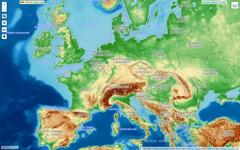
OpenTopoMap is a miscellaneous web resource for discovery, directories, archives, web culture, or useful tools.
ORBAT Mapper helps discover apps, SaaS products, no-signup tools, clones, or software alternatives.

A map interface built on OpenStreetMap that collects external cartographic tools and links them with automatic positioning on the current map extent. It offers a layers catalog for base layers and overlays, location search, and panes for StreetView images and webcams. Filters cover recently added links, favorites and tags.

OsmAPP helps discover apps, SaaS products, no-signup tools, clones, or software alternatives.

PeakFinder is a miscellaneous web resource for discovery, directories, archives, web culture, or useful tools.

PowerOutage.us is a miscellaneous web resource for discovery, directories, archives, web culture, or useful tools.

Qgis is a miscellaneous web resource for discovery, directories, archives, web culture, or useful tools.

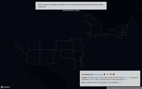
River Runner is a miscellaneous web resource for discovery, directories, archives, web culture, or useful tools.

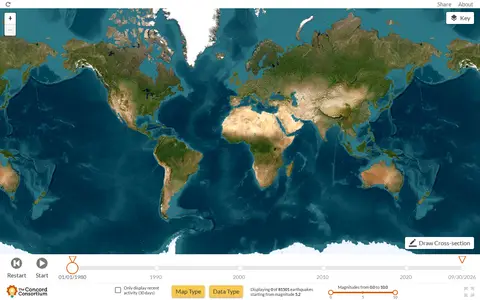
Seismic Explorer is a miscellaneous web resource for discovery, directories, archives, web culture, or useful tools.

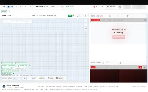
SitDeck is a miscellaneous web resource for discovery, directories, archives, web culture, or useful tools.

Skimap.org is an archive of ski resort trail maps from around the world. It holds over 29,000 maps, with content dating back over 90 years, organized by region and including sections for recently added maps, maps from the current season, lost ski areas, and fantasy areas. Visitors are invited to share their own maps.

Starlink Coverage is a miscellaneous web resource for discovery, directories, archives, web culture, or useful tools.
StreetComplete is an OpenStreetMap surveyor app. It finds missing map data in the user's vicinity and displays it on a map as quests, which are solved by visiting the location and answering a simple question. The info entered is added directly to OpenStreetMap in the user's name without using another editor.

Tech Version helps discover apps, SaaS products, no-signup tools, clones, or software alternatives.

Terraink helps discover apps, SaaS products, no-signup tools, clones, or software alternatives.

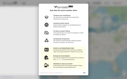
tornado.live is a miscellaneous web resource for discovery, directories, archives, web culture, or useful tools.

trains.fyi is a miscellaneous web resource for discovery, directories, archives, web culture, or useful tools.

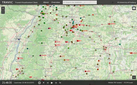
TRAVIC (Transit Visualization Client) provides movement visualization of transit data published by transit agencies and operators worldwide. Movements are mostly based on static schedule data, with real-time data included where available. The page notes the servers are undergoing maintenance and asks visitors to return later.

UrbanRail.Net is a site about metro, subway, and light rail systems. It lists cities including Amsterdam, London, Moscow, Tokyo, and Sydney, and offers publications such as a tram atlas. The site is maintained and updated by Robert Schwandl.