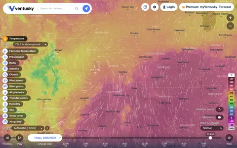

ventusky.com
Ventusky provides live weather maps showing wind, rain, radar and temperature, with over 50 weather layers and detailed forecasts. Data comes from weather forecast models including ECMWF, GFS, ICON and GEM.
Directory
Maps and Transportation collects tools for finding your way and tracking things that move. Maps and navigation holds map services, routing engines, and public transit planners. Vehicles and VIN covers vehicle history lookups and identification tools. Maritime tracking lists ship trackers and port data, and geolocation tools collects services that work from coordinates, IP addresses, or phone signals. Radio and communications covers aviation, marine, and amateur radio references that depend on location, and real estate and property adds land and building lookup tools. Flight tracking, weather, and live maps and webcams are smaller topics in the same category. Several entries use public or crowd-sourced data, which means coverage is uneven between countries and can be out of date, so check a source before you rely on it for a journey or a decision.
Ventusky provides live weather maps showing wind, rain, radar and temperature, with over 50 weather layers and detailed forecasts. Data comes from weather forecast models including ECMWF, GFS, ICON and GEM.

AIS vessel tracking service for monitoring ships, ports, routes, and maritime movement.

Wiki-Map is a miscellaneous web resource for discovery, directories, archives, web culture, or useful tools.

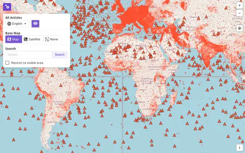
Wikimap is a miscellaneous web resource for discovery, directories, archives, web culture, or useful tools.
WikiMapped helps discover apps, SaaS products, no-signup tools, clones, or software alternatives.

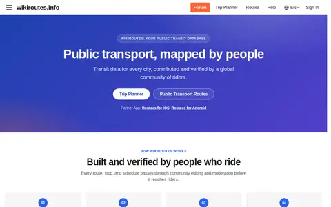
Wikiroutes is a crowdsourced public transport directory with an interactive map, schedules and route search for buses, trolleybuses and trams. Routes, stops and schedules pass through community editing and moderation before publication, and accepted changes appear on the site immediately.

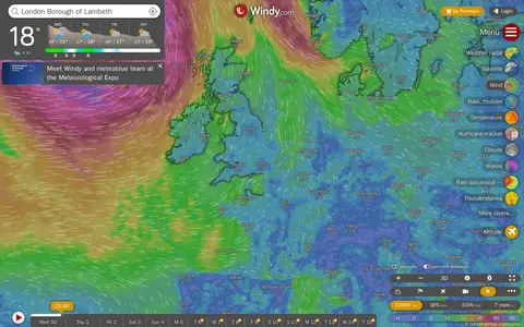
Windy is a miscellaneous web resource for discovery, directories, archives, web culture, or useful tools.

World-Monitor is a miscellaneous web resource for discovery, directories, archives, web culture, or useful tools.

WorldAtlas is a miscellaneous web resource for discovery, directories, archives, web culture, or useful tools.
WXCharts is a miscellaneous web resource for discovery, directories, archives, web culture, or useful tools.

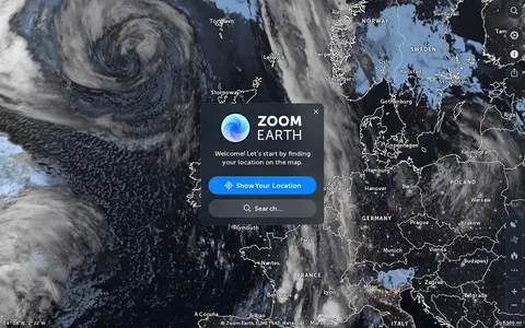
Zoom Earth is an interactive weather map of the world showing rain, wind, temperature and pressure, with forecasts for a selected location. It also offers satellite imagery, rain radar updated in near real time, hurricane and storm tracking, and wildfire and smoke monitoring. Mobile apps are available for iPhone, iPad and Android.

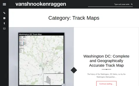
Vanshnookenraggen Track Maps is a curated directory or link collection for discovering useful websites, tools, and resources.

ArcGIS wildfire map visualizes fire activity, boundaries, incidents, and related geographic layers.

Cesium story viewer for exploring 3D geospatial scenes, maps, satellite data, and location narratives.
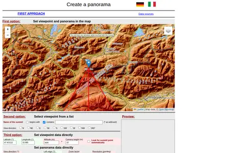
A web tool for creating mountain panoramas and identifying summits. A viewpoint can be set in a map, chosen from a summit list, or entered directly with latitude, longitude, altitude and camera height. View direction, zoom, resolution, tilt, sight range and elevation exaggeration can be set; JavaScript must be permitted.

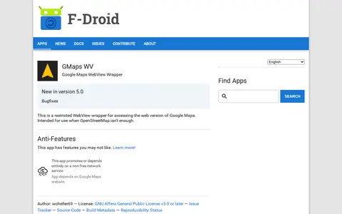
An Android app that wraps the web version of Google Maps in a restricted WebView for access when OpenStreetMap isn't enough. It depends on the Google Maps website, a non-free network service. It requires Android 5.0 or newer and is licensed under the GNU Affero General Public License v3.0 or later.

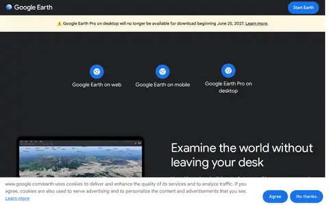
Google Earth is available on web, mobile and desktop. On mobile it allows users to browse the globe, add placemarks and annotate maps. On desktop, Google Earth Pro offers advanced tools including importing and exporting GIS data and viewing historical imagery, on PC, Mac or Linux.

A live map showing London Underground trains as yellow dots in approximately real time, built by Matthew Somerville. Live departure data is fetched from the TfL API. Schematic and Skyfall versions are also offered. It was originally built at Science Hackday in June 2010.

NGMDB is a miscellaneous web resource for discovery, directories, archives, web culture, or useful tools.

Abandoned Rails is a site featuring maps, pictures and the history of former railway grades across the United States and abandoned railroad routes in North America. Visitors can browse routes by state or by railroad company, and contributions from railfans are accepted by email.
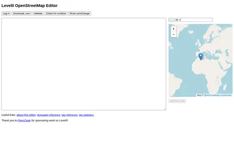
Advanced Editor is a miscellaneous web resource for discovery, directories, archives, web culture, or useful tools.
AI Editor is a miscellaneous web resource for discovery, directories, archives, web culture, or useful tools.
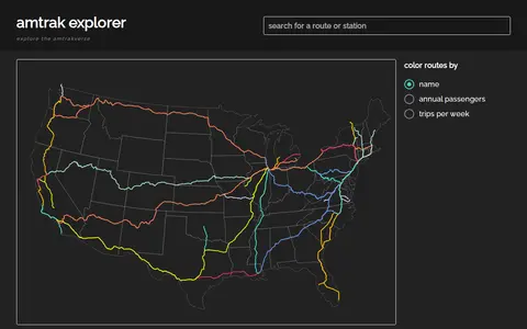
amtrak explorer is a miscellaneous web resource for discovery, directories, archives, web culture, or useful tools.

AP Transit presents a 3D live map of the NYC Subway, described as a real-time digital map that helps riders navigate the changing transportation network. The page covers reading the map, transfers, accessibility, entrances and station details, and states the system has 472 stations and about 665 miles of track.