
floodmap.net
FloodMap is a miscellaneous web resource for discovery, directories, archives, web culture, or useful tools.
Directory
Maps and Transportation collects tools for finding your way and tracking things that move. Maps and navigation holds map services, routing engines, and public transit planners. Vehicles and VIN covers vehicle history lookups and identification tools. Maritime tracking lists ship trackers and port data, and geolocation tools collects services that work from coordinates, IP addresses, or phone signals. Radio and communications covers aviation, marine, and amateur radio references that depend on location, and real estate and property adds land and building lookup tools. Flight tracking, weather, and live maps and webcams are smaller topics in the same category. Several entries use public or crowd-sourced data, which means coverage is uneven between countries and can be out of date, so check a source before you rely on it for a journey or a decision.
FloodMap is a miscellaneous web resource for discovery, directories, archives, web culture, or useful tools.

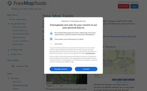
FreeMapTools is a free online collection of map-based tools. Popular tools let visitors draw a radius around a point, measure distances between points, calculate the straight-line distance between two locations, and measure the area of a drawn shape. Results are shown in units including kilometers, miles, nautical miles, and acres.
GPlates is a miscellaneous web resource for discovery, directories, archives, web culture, or useful tools.

HMDB is a miscellaneous web resource for discovery, directories, archives, web culture, or useful tools.
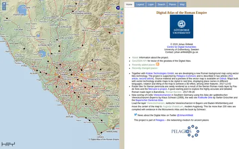
Imperium is a miscellaneous web resource for discovery, directories, archives, web culture, or useful tools.

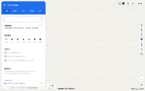
kakaomap is a miscellaneous web resource for discovery, directories, archives, web culture, or useful tools.

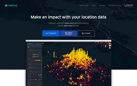
kepler.gl is a miscellaneous web resource for discovery, directories, archives, web culture, or useful tools.

LGA World Database is a miscellaneous web resource for discovery, directories, archives, web culture, or useful tools.

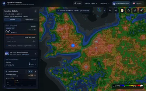
lightpollutionmap helps discover apps, SaaS products, no-signup tools, clones, or software alternatives.
London Live is a miscellaneous web resource for discovery, directories, archives, web culture, or useful tools.

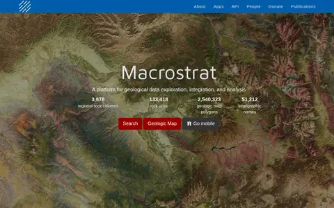
Macrostrat is a platform for exploring, integrating and analysing geological data. It aggregates geologic maps from data providers and links map polygons to rock columns, stratigraphic names and geochronological intervals. The site offers a searchable geologic map and an API. Interactive applications built on the platform are intended for educational and research purposes.

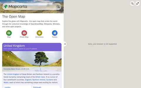
Mapcarta is a miscellaneous web resource for discovery, directories, archives, web culture, or useful tools.
MapChart is a miscellaneous web resource for discovery, directories, archives, web culture, or useful tools.
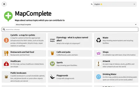
MapComplete is a miscellaneous web resource for discovery, directories, archives, web culture, or useful tools.

MapCrunch displays random Google Street View locations around the world, allowing users to explore imagery from 50 countries. Users can filter views by country or region using a list or map, and selected views are added to a daily gallery. Views can be shared with a name shown under the gallery image.

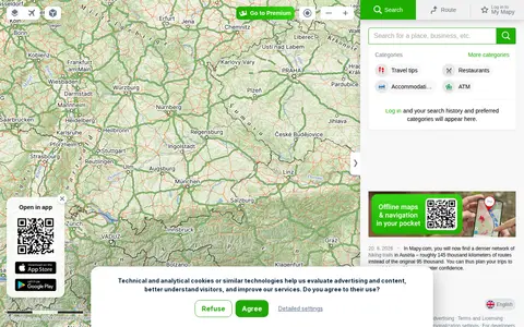
Mapy is a miscellaneous web resource for discovery, directories, archives, web culture, or useful tools.

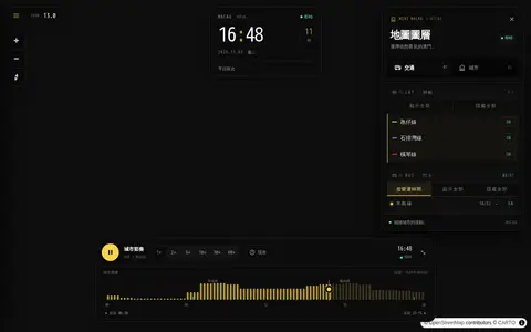
Mini Map Macau helps discover apps, SaaS products, no-signup tools, clones, or software alternatives.

MiniLondon3D is a miscellaneous web resource for discovery, directories, archives, web culture, or useful tools.
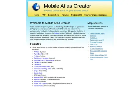
Mobile Atlas Creator (MOBAC) is an open source GPL program that creates offline atlases for GPS handhelds and cell phone applications from online map sources such as OpenStreetMap-based maps. It is written in Java and runs on Windows, Linux, and MacOS.

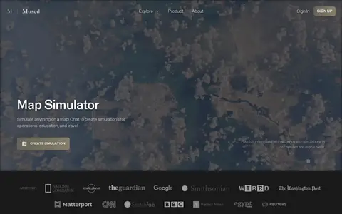
Mused is a miscellaneous web resource for discovery, directories, archives, web culture, or useful tools.
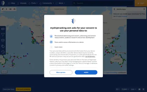
MyShipTracking is a miscellaneous web resource for discovery, directories, archives, web culture, or useful tools.

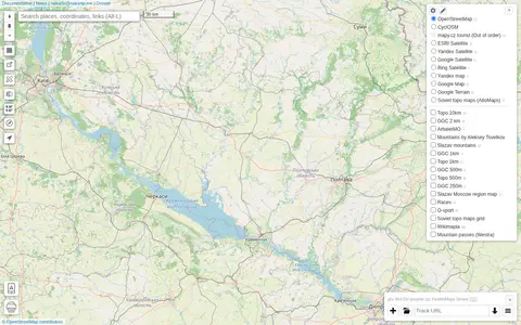
nakarte is a miscellaneous web resource for discovery, directories, archives, web culture, or useful tools.

Native Land is a resource and app for learning about Indigenous territories, languages, lands, and ways of life, and for mapping Indigenous territories, treaties, and languages. It also states that its maps are not official sources. The site notes it provides geoJSONs and an API for free.

NukeSim is an educational nuclear explosion simulator with effects modeling. It lets users run scenarios on a map, compare weapon profiles, view blast, thermal, radiation and fallout overlays, browse a global arsenal database, read articles and follow external nuclear news. The project states it is inspired by NUKEMAP.