

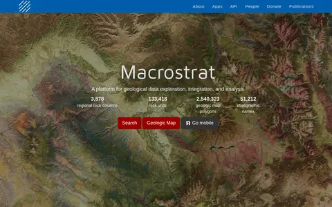
Macrostrat is a platform for exploring, integrating and analysing geological data. It aggregates geologic maps from data providers and links map polygons to rock columns, stratigraphic names and geochronological intervals. The site offers a searchable geologic map and an API. Interactive applications built on the platform are intended for educational and research purposes.
Skimap.org
Skimap.org is an archive of ski resort trail maps from around the world. It holds over 29,000 maps, with content dating back over 90 years, organized by region and including sections for recently added maps, maps from the current season, lost ski areas, and fantasy areas. Visitors are invited to share their own maps.
Screenshot unavailable. The listing stays available while a preview is prepared.
Features
- archive of over 29000 maps from around the world Source: skimap.org
Links
Tags
-
0Macrostrat is a platform for exploring, integrating and analysing geological data. It aggregates geologic maps from data providers and links map polygons to rock columns, stratigraphic names and geochronological intervals. The site offers a searchable geologic map and an API. Interactive applications built on the platform are intended for educational and research purposes.
-
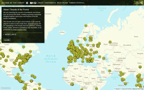
0Sounds of the Forest is a project collecting the sounds of woodlands and forests from around the world into a growing soundmap. The collected sounds form an open source library that anyone can listen to and create from. The project was created by Wild Rumpus and is built on Mapbox GL JS.
-
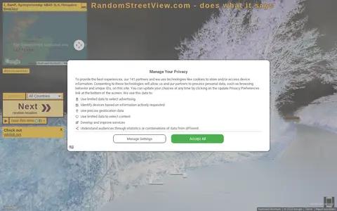
0RandomStreetView.com displays random street view images from around the world. Visitors click a Next button to view further images, select a country, play a slideshow in fullscreen, or use it as a screensaver. It offers images from many countries, including Andorra, Australia, Brazil, Canada, France, Japan and the United States.
-
0
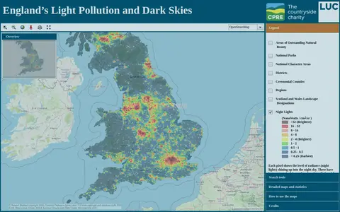
An online map of England's light pollution and dark skies. Users can search by postcode, district or National Character Area, tick boundaries in the legend to display them, and click the map for detailed information about an area. The map uses OpenStreetMap and World Imagery data and was developed by LUC.
-
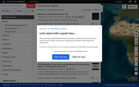
0Earthdata Search is a browser-based tool for searching, discovering, visualizing, refining and accessing NASA Earth Observation data. The site requires a JavaScript-aware browser, and an upgraded browser is needed to use it. Earthdata Access is offered as a Section 508 accessible alternative.
-
0The official Organic Maps Telegram group covers Organic Maps, described as open-source, privacy-friendly, fast and detailed offline maps for iOS and Android. The group also links to ways of supporting the app's development and to a channel for Russian speakers.
Community notes
Reviews and discussion
No reviews yet
Be the first to share how this project worked for you.
Join the discussion
Sign in with a verified account to leave a review or join the discussion.
Sign in to review