
carto-art.vercel.app
CartoArt helps discover apps, SaaS products, no-signup tools, clones, or software alternatives.
Directory
Maps and Transportation collects tools for finding your way and tracking things that move. Maps and navigation holds map services, routing engines, and public transit planners. Vehicles and VIN covers vehicle history lookups and identification tools. Maritime tracking lists ship trackers and port data, and geolocation tools collects services that work from coordinates, IP addresses, or phone signals. Radio and communications covers aviation, marine, and amateur radio references that depend on location, and real estate and property adds land and building lookup tools. Flight tracking, weather, and live maps and webcams are smaller topics in the same category. Several entries use public or crowd-sourced data, which means coverage is uneven between countries and can be out of date, so check a source before you rely on it for a journey or a decision.
CartoArt helps discover apps, SaaS products, no-signup tools, clones, or software alternatives.

A free interactive map of 9,079 castles, fortresses, palaces and ruins across 155 countries, each with a photo and story. Points can be clicked for quick facts, and individual pages give full stories and locations. Data comes from Wikidata, Wikimedia Commons, Wikipedia and OpenFreeMap.

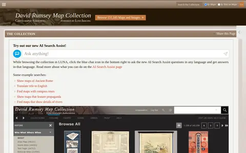
Online historical map collection with over 151,000 maps and related images, including rare 16th through 21st century maps of continents and regions. The searchable database includes the LUNA Viewer and an AI Search Assist. A physical collection is hosted at the David Rumsey Map Center at Stanford University Library.

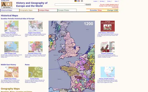
Euratlas offers a historical atlas of Europe and geography maps, including maps of mountains, rivers, cities and countries, about 2000 pictures of towns and landscapes, antique digitized maps, digital vector maps and educational software. It presents a sequence of 21 maps showing European states at the end of each century from 1 to 2000.

Falling Fruit is a miscellaneous web resource for discovery, directories, archives, web culture, or useful tools.
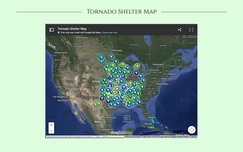
Find Your Tornado Shelter is a miscellaneous web resource for discovery, directories, archives, web culture, or useful tools.
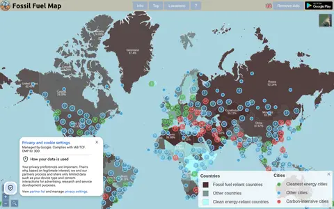
Fossil Fuel Map is a miscellaneous web resource for discovery, directories, archives, web culture, or useful tools.

glifwc is a miscellaneous web resource for discovery, directories, archives, web culture, or useful tools.

Globe of History is a miscellaneous web resource for discovery, directories, archives, web culture, or useful tools.

GPS Visualizer is an online utility that creates customizable maps and profiles from GPS data such as tracklogs and waypoints, addresses, or coordinates. Input can include driving routes, street addresses, or simple coordinates, and output includes Leaflet/Google maps, Google Earth KML, and JPG/PNG/SVG maps. The site states it has been on the Web since October 2002.

Historic Aerials is an online collection of historical aerial imagery, topographic maps, and modern aerials covering the United States. An interactive viewer lets users explore locations, zoom, and switch between decades, with imagery dating back to the 1920s. The service offers subscriptions and individual purchases of digital downloads and prints.
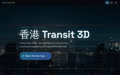
Hong Kong Transit 3D is an independent project presenting a real-time 3D schedule simulation of Hong Kong's trains, trams, buses, and ferries over real terrain. Vehicles move according to published frequencies and the Hong Kong clock, not GPS tracking. The map includes depth-true tunnels, a per-line underground cross-section view, and trilingual support.

A web tool for viewing Google Street View imagery of supported locations by address or place name. Views can be shared and saved, and random locations can be explored. A Pro subscription adds high-resolution image downloads, no adverts, unlimited search and historical imagery; free users are limited to 20 autocomplete queries per day.

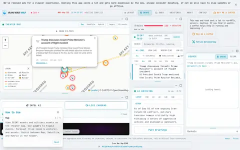
Iran War Map is a miscellaneous web resource for discovery, directories, archives, web culture, or useful tools.

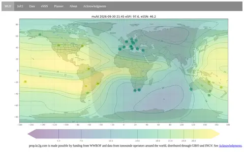
KCG2 is a miscellaneous web resource for discovery, directories, archives, web culture, or useful tools.

An interactive world map of light pollution that overlays data including NASA Black Marble VIIRS, sky brightness, aurora prediction, observatories and clouds, with SQM/SQC measurements contributed by users. It offers tools such as distance measurement, sky brightness simulation and a search for the closest dark site.

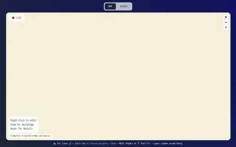
Live Tube Map shows London Underground trains moving in real-time on an interactive 3D map, covering all lines including Central, Northern and Victoria. The page lets users right-click to orbit, zoom for buildings and hover for details.

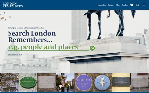
London Remembers is a site aiming to document all memorials in London, including plaques, statues, fountains and war memorials, with photos, inscriptions and the stories behind them. It lists memorial types and subjects and provides a map.
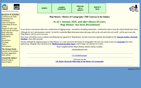
A World-Wide Web Virtual Library site that provided an organized overview of the history of cartography, including resources and activities, with links to map image sites and web articles. As of 1 January 2026, after almost 30 years, the site has been discontinued.

An interactive map that explores the tales behind cartographic myths, blunders and imaginations that shaped views of the world. The site offers projections including Arctic, Antarctic, Mercator, Pacific, Robinson and Mollweide.

Live ship tracking map showing vessel positions, AIS data, ports, routes, and maritime traffic.

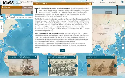
Maritime Stepping Stones (MaSS) is a worldwide source for stories about wrecks and archaeological sites underwater. An interactive map with filters covers periods from Prehistory to Modern Times, including VOC and Second World War wrecks. Visitors can contribute sites, information, videos and images, which are checked before publication.

NearbyWiki is a miscellaneous web resource for discovery, directories, archives, web culture, or useful tools.
Open Grid Work is a miscellaneous web resource for discovery, directories, archives, web culture, or useful tools.