accuweather.com
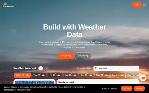
Weather service for forecasts, radar, alerts, hourly conditions, and local weather updates.
Directory
Search published websites, apps and repositories.
Weather service for forecasts, radar, alerts, hourly conditions, and local weather updates.

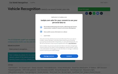
This page describes an online car recognition tool that identifies vehicle information from an uploaded car picture, including brand, model, year and color. The page states that users upload a photo and click the "Car Model Recognition" button to use a machine learning model to identify the vehicle online. It is one of many tools listed on the ToolPie site.

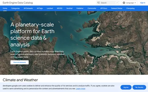
Google Earth Engine catalog of satellite imagery, climate data, land cover, and geospatial datasets.
Building information resource for researching skyscrapers, structures, cities, and architecture records.
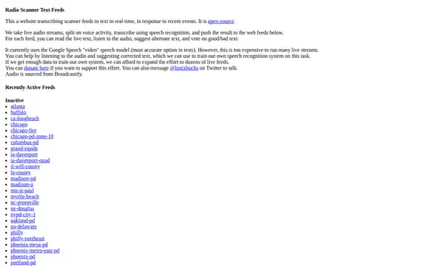
Radio Scanner Text Feeds is an open-source website that transcribes live radio scanner audio into text in real time. Audio streams are split on voice activity, transcribed with speech recognition, and published to web feeds. Visitors can read the live text, listen to the audio, suggest alternate text, and vote on the text. Audio is sourced from Broadcastify.

NASA FIRMS map shows satellite-detected fires, hotspots, and fire activity around the world.
Flight tracking map for viewing aircraft positions, routes, airports, and aviation data.

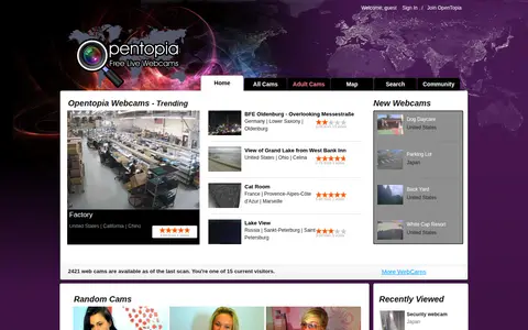
Public webcam directory for browsing live camera feeds from around the web.
Guide to maritime OSINT methods for tracking vessels, ports, shipping routes, and ocean activity.

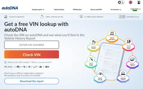
Vehicle history report service for checking VIN records, title events, accidents, and market data.
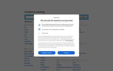
Container Tracking is a directory of shipping lines and container lines, listing carriers from ANL and CMA CGM to Maersk, MSC and ZIM. The site also offers container number prefixes, a contact page and a privacy policy, plus sections for shipping quote requests and an international trade and shipping directory.

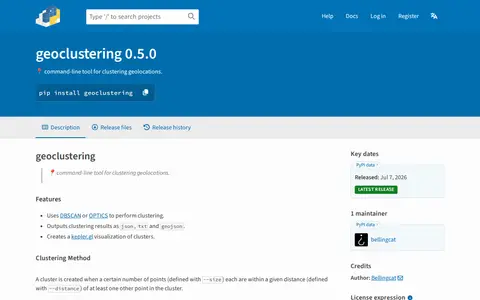
Python package for clustering geographic coordinates and grouping location data points.

Google Maps provides maps, directions, satellite views, business listings, street views, and location search.
Flight tracking and aviation search tool for monitoring aircraft, routes, and flight activity.

Weather data platform offering forecasts, current conditions, maps, and weather APIs.

UK property search site for finding homes, rentals, agents, and real estate listings.
Radio cell database for mapping mobile network cells, radio coverage, and related infrastructure.
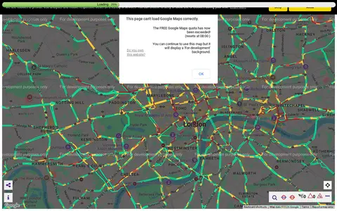
Transport for London camera viewer showing live traffic cameras and road conditions.

Vehicle history report service for checking VIN records, damage, mileage, photos, and title data.

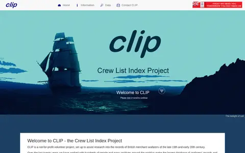
A not-for-profit volunteer project providing information and database access for research into records of British merchant seafarers and ships, mainly covering 1863 to 1913, with ship records from 1855 to the 1950s. It offers search guidance, FAQs, links to other maritime records, and states that privately commissioned research is not undertaken.

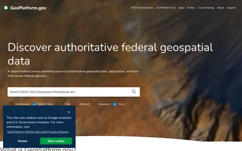
US geospatial portal for discovering government maps, data layers, services, and geographic resources.

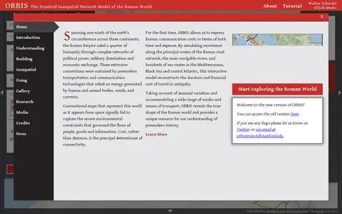
ORBIS is the Stanford Geospatial Network Model of the Roman World, published by Stanford University Libraries, with authors Walter Scheidel and Elijah Meeks. It presents a route and network interface with options for origin and destination, departure month or season, and priority such as fastest, cheapest or shortest, across road, river and sea modes.

Real estate search site for finding homes, rentals, property values, and neighborhood information.
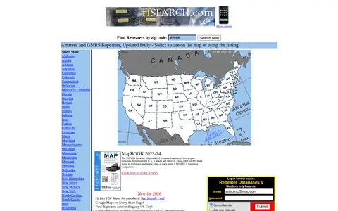
RF Search is a search engine for amateur radio, GMRS and business radio. It offers repeater search by state or zip code, with amateur and GMRS repeaters updated daily. A paid membership provides expanded maps without advertisements and local repeater listings.