

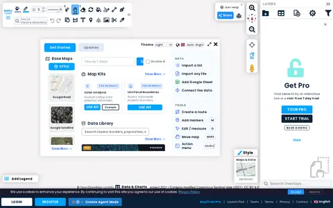

Scribble Maps is a web tool for creating and sharing maps of various types. Maps can be shared with friends, embedded on websites, or exported as images or PDF files. A Pro tier is offered with a trial and demo.
FreeMapTools
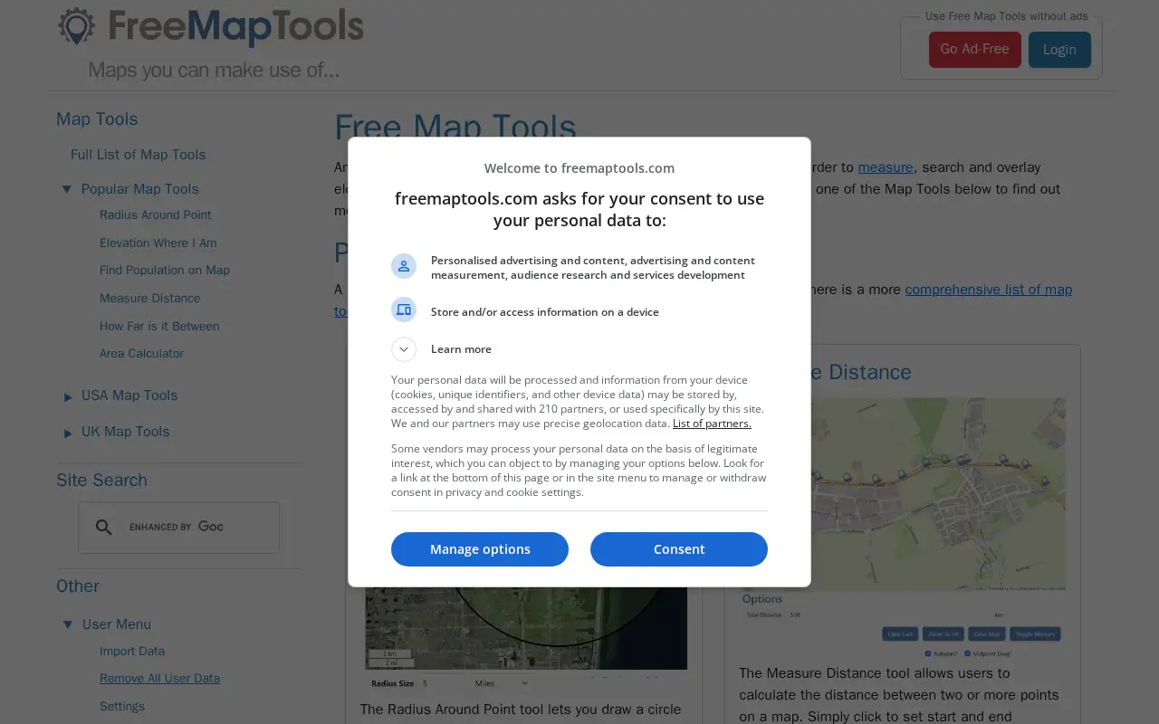
FreeMapTools is a free online collection of map-based tools. Popular tools let visitors draw a radius around a point, measure distances between points, calculate the straight-line distance between two locations, and measure the area of a drawn shape. Results are shown in units including kilometers, miles, nautical miles, and acres.
Features
- Radius Around Point Source: www.freemaptools.com
- Measure Distance Source: www.freemaptools.com
Links
Tags
-
0Scribble Maps is a web tool for creating and sharing maps of various types. Maps can be shared with friends, embedded on websites, or exported as images or PDF files. A Pro tier is offered with a trial and demo.
-
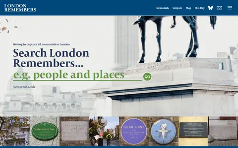
0London Remembers is a site aiming to document all memorials in London, including plaques, statues, fountains and war memorials, with photos, inscriptions and the stories behind them. It lists memorial types and subjects and provides a map.
-
0
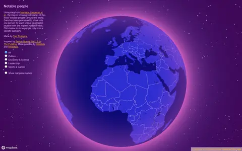
Notable People is a map showing birthplaces of the most notable people around the world, using data from Morgane Laouenan et al. The data has been processed to display only one person for each unique geographic location with the highest notability rank, with filters by category.
-
0
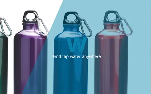
BlueW is a map of free water bottle refill locations. Users look for the blueW.org window decal at listed locations to refill reusable water bottles. The site also invites users to add refill locations to the map.
-
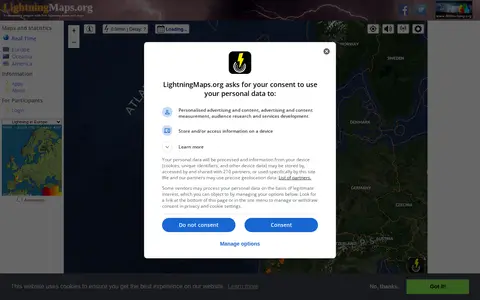
0A community project providing free real-time lightning maps and apps, with lightning data supplied by Blitzortung.org and contributors. It lets users see lightning strikes in real time across the planet and access maps of former thunderstorms, with regional views for Europe, Germany, USA and Oceania.
-
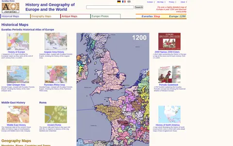
0Euratlas offers a historical atlas of Europe and geography maps, including maps of mountains, rivers, cities and countries, about 2000 pictures of towns and landscapes, antique digitized maps, digital vector maps and educational software. It presents a sequence of 21 maps showing European states at the end of each century from 1 to 2000.
Community notes
Reviews and discussion
No reviews yet
Be the first to share how this project worked for you.
Join the discussion
Sign in with a verified account to leave a review or join the discussion.
Sign in to review