dsl.richmond.edu
American Panorama is a miscellaneous web resource for discovery, directories, archives, web culture, or useful tools.
Directory
Maps and Transportation collects tools for finding your way and tracking things that move. Maps and navigation holds map services, routing engines, and public transit planners. Vehicles and VIN covers vehicle history lookups and identification tools. Maritime tracking lists ship trackers and port data, and geolocation tools collects services that work from coordinates, IP addresses, or phone signals. Radio and communications covers aviation, marine, and amateur radio references that depend on location, and real estate and property adds land and building lookup tools. Flight tracking, weather, and live maps and webcams are smaller topics in the same category. Several entries use public or crowd-sourced data, which means coverage is uneven between countries and can be out of date, so check a source before you rely on it for a journey or a decision.
American Panorama is a miscellaneous web resource for discovery, directories, archives, web culture, or useful tools.

Cool Maps is a miscellaneous web resource for discovery, directories, archives, web culture, or useful tools.
DigitalGlobe discovery tools help explore satellite imagery, geospatial data, and earth observation resources.
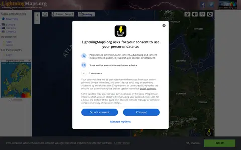
A community project providing free real-time lightning maps and apps, with lightning data supplied by Blitzortung.org and contributors. It lets users see lightning strikes in real time across the planet and access maps of former thunderstorms, with regional views for Europe, Germany, USA and Oceania.

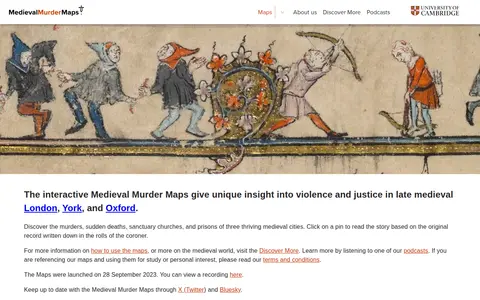
Medieval Murder Maps is a miscellaneous web resource for discovery, directories, archives, web culture, or useful tools.

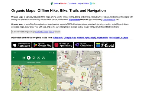
A free, open-source, privacy-focused offline maps and GPS app for hiking, cycling, biking and driving, powered by OpenStreetMap data. It offers detailed offline maps, cycling routes, hiking trails and walking paths, turn-by-turn navigation with voice guidance, and offline search on downloaded maps. The app is developed by the open-source community and the creators of MapsWithMe/Maps.Me.

SurveillanceMap catalogs publicly accessible private cameras and exposed surveillance feeds for awareness.

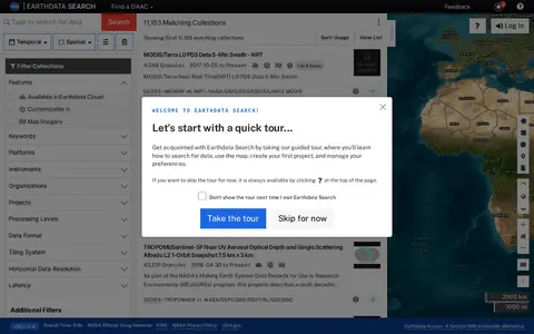
Earthdata Search is a browser-based tool for searching, discovering, visualizing, refining and accessing NASA Earth Observation data. The site requires a JavaScript-aware browser, and an upgraded browser is needed to use it. Earthdata Access is offered as a Section 508 accessible alternative.

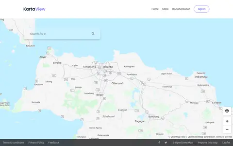
KartaView shows crowdsourced street-level imagery for roads, routes, and map improvement projects.

Mapillary shows crowdsourced street-level imagery for roads, places, routes, and mapping projects.

OALLEY creates travel-time maps, isochrones, and reachable-area analysis from chosen locations.

Radio Garden lets users explore live radio stations around the world through an interactive globe.

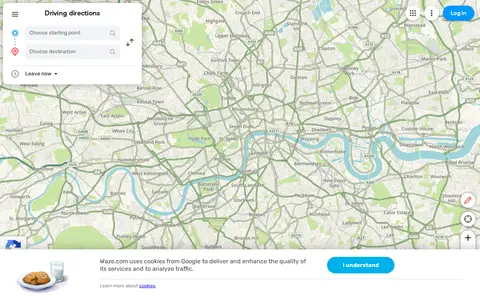
Waze Live Map shows traffic, road alerts, routes, and driver-reported incidents in real time.

Yandex Maps offers maps, routing, traffic, transit, business listings, and local place search.

Library of Congress is a curated directory or link collection for discovering useful websites, tools, and resources.

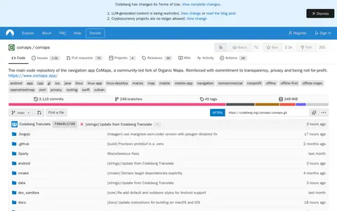
CoMaps is a navigation app and community-led fork of Organic Maps, maintained in a Codeberg code repository. The repository hosts the app's main source code and lists offline map navigation and routing among its topics. The project is described as noncommercial and nonprofit.

Electricity Maps helps discover apps, SaaS products, no-signup tools, clones, or software alternatives.
Historical City Maps points to a Reddit community or thread with discussion, guides, updates, or shared resources.

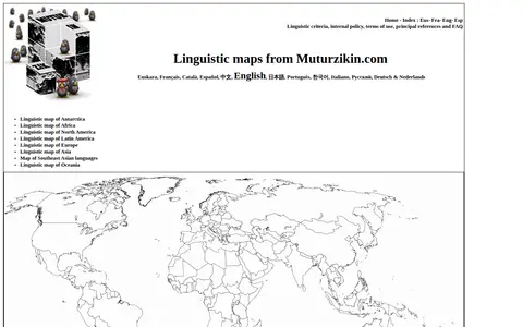
Linguistic Maps is a miscellaneous web resource for discovery, directories, archives, web culture, or useful tools.

The official Organic Maps Telegram group covers Organic Maps, described as open-source, privacy-friendly, fast and detailed offline maps for iOS and Android. The group also links to ways of supporting the app's development and to a channel for Russian speakers.

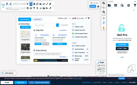
Scribble Maps is a web tool for creating and sharing maps of various types. Maps can be shared with friends, embedded on websites, or exported as images or PDF files. A Pro tier is offered with a trial and demo.
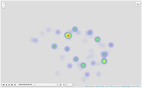
Heatmap visualizing Ukraine war activity, incidents, and conflict intensity by location.

World History Maps is a miscellaneous web resource for discovery, directories, archives, web culture, or useful tools.

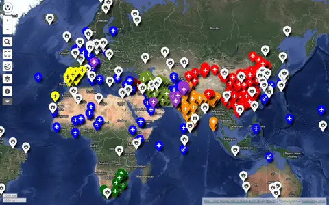
uMap project mapping military bases around the world using OpenStreetMap data.