




Skimap.org is an archive of ski resort trail maps from around the world. It holds over 29,000 maps, with content dating back over 90 years, organized by region and including sections for recently added maps, maps from the current season, lost ski areas, and fantasy areas. Visitors are invited to share their own maps.
Macrostrat
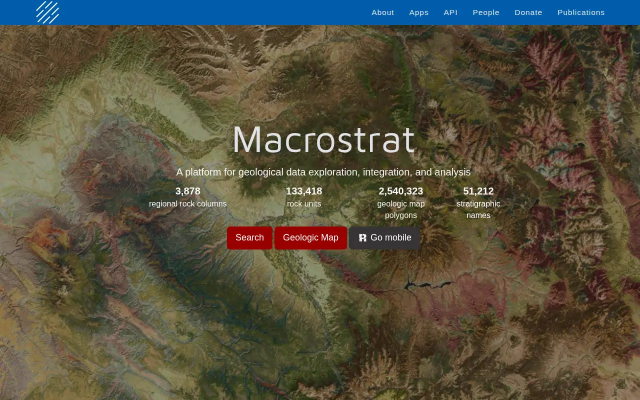
Macrostrat is a platform for exploring, integrating and analysing geological data. It aggregates geologic maps from data providers and links map polygons to rock columns, stratigraphic names and geochronological intervals. The site offers a searchable geologic map and an API. Interactive applications built on the platform are intended for educational and research purposes.
Features
- search geologic map Source: macrostrat.org
- over 225 maps from data providers around the world Source: macrostrat.org
Uses
- interactive applications built upon Macrostrat Source: macrostrat.org
Links
Tags
-
0Skimap.org is an archive of ski resort trail maps from around the world. It holds over 29,000 maps, with content dating back over 90 years, organized by region and including sections for recently added maps, maps from the current season, lost ski areas, and fantasy areas. Visitors are invited to share their own maps.
-
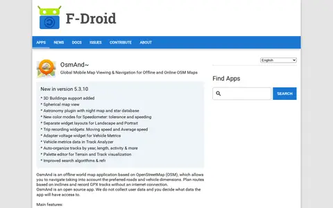
0OsmAnd~ is an open source offline world map application based on OpenStreetMap, available from F-Droid. It offers map viewing, GPS navigation without an internet connection, route planning and GPX track recording. The listing notes anti-features including non-free assets and tracking via an installation ID sent with map download requests.
-
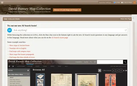
0Online historical map collection with over 151,000 maps and related images, including rare 16th through 21st century maps of continents and regions. The searchable database includes the LUNA Viewer and an AI Search Assist. A physical collection is hosted at the David Rumsey Map Center at Stanford University Library.
-
0GPS Visualizer is an online utility that creates customizable maps and profiles from GPS data such as tracklogs and waypoints, addresses, or coordinates. Input can include driving routes, street addresses, or simple coordinates, and output includes Leaflet/Google maps, Google Earth KML, and JPG/PNG/SVG maps. The site states it has been on the Web since October 2002.
-
0CoverageMap compares cellular coverage from carriers using crowdsourced speed tests and signal measurements. Users can view coverage maps, test connections, and compare carriers. The service is available in four countries.
-
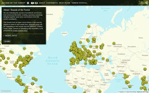
0Sounds of the Forest is a project collecting the sounds of woodlands and forests from around the world into a growing soundmap. The collected sounds form an open source library that anyone can listen to and create from. The project was created by Wild Rumpus and is built on Mapbox GL JS.
Community notes
Reviews and discussion
No reviews yet
Be the first to share how this project worked for you.
Join the discussion
Sign in with a verified account to leave a review or join the discussion.
Sign in to review