


Live Tube Map shows London Underground trains moving in real-time on an interactive 3D map, covering all lines including Central, Northern and Victoria. The page lets users right-click to orbit, zoom for buildings and hover for details.
Lightning Maps
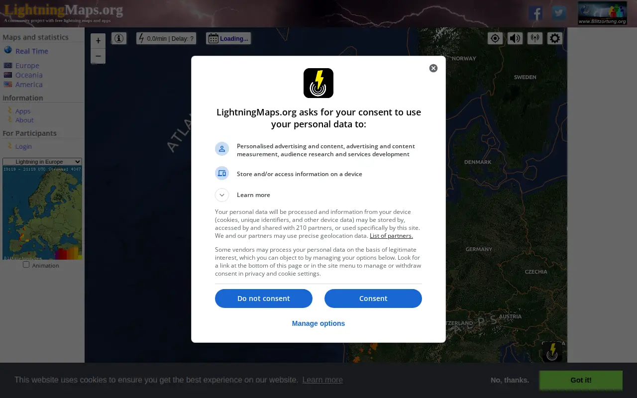
A community project providing free real-time lightning maps and apps, with lightning data supplied by Blitzortung.org and contributors. It lets users see lightning strikes in real time across the planet and access maps of former thunderstorms, with regional views for Europe, Germany, USA and Oceania.
Features
- See lightning strikes in real time across the planet Source: www.lightningmaps.org
Links
Tags
-
0Live Tube Map shows London Underground trains moving in real-time on an interactive 3D map, covering all lines including Central, Northern and Victoria. The page lets users right-click to orbit, zoom for buildings and hover for details.

-
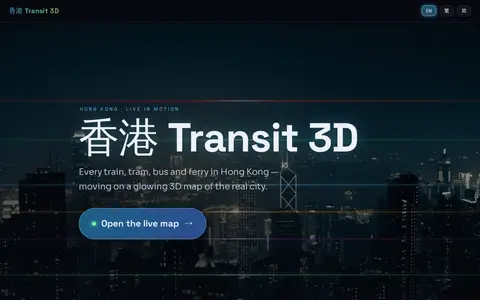
0Hong Kong Transit 3D is an independent project presenting a real-time 3D schedule simulation of Hong Kong's trains, trams, buses, and ferries over real terrain. Vehicles move according to published frequencies and the Hong Kong clock, not GPS tracking. The map includes depth-true tunnels, a per-line underground cross-section view, and trilingual support.
-
0A live map showing London Underground trains as yellow dots in approximately real time, built by Matthew Somerville. Live departure data is fetched from the TfL API. Schematic and Skyfall versions are also offered. It was originally built at Science Hackday in June 2010.
-
0
Radio Scanner Text Feeds is an open-source website that transcribes live radio scanner audio into text in real time. Audio streams are split on voice activity, transcribed with speech recognition, and published to web feeds. Visitors can read the live text, listen to the audio, suggest alternate text, and vote on the text. Audio is sourced from Broadcastify.
-
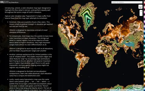
0Oilslick is a color elevation map layer by Drew Roos designed to highlight fine terrain detail and work across the full range of Earth's elevation. It aims to maximize lightness contrast for small elevation differences and avoid favoring lower elevations, using a zig-zagging lightness pattern with each cycle covering 500m and hue completing one cycle over 9,275m of land elevation.
-
0The Theban Mapping Project is a website about the Valley of the Kings, presenting the royal necropolis of the New Kingdom. It also covers the Valley of the Queens and Western Wadis and the dig houses of the West Bank built for Egyptologists, institutes, universities, and projects working there. The site offers guidance for visitors navigating the Theban Necropolis and its tombs.
Community notes
Reviews and discussion
No reviews yet
Be the first to share how this project worked for you.
Join the discussion
Sign in with a verified account to leave a review or join the discussion.
Sign in to review