




macrostrat.org
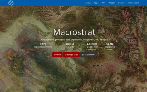
Macrostrat is a platform for exploring, integrating and analysing geological data. It aggregates geologic maps from data providers and links map polygons to rock columns, stratigraphic names and geochronological intervals. The site offers a searchable geologic map and an API. Interactive applications built on the platform are intended for educational and research purposes.