
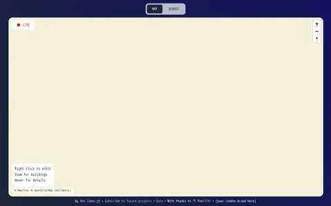

Live Tube Map shows London Underground trains moving in real-time on an interactive 3D map, covering all lines including Central, Northern and Victoria. The page lets users right-click to orbit, zoom for buildings and hover for details.
Hong Kong Transit 3D
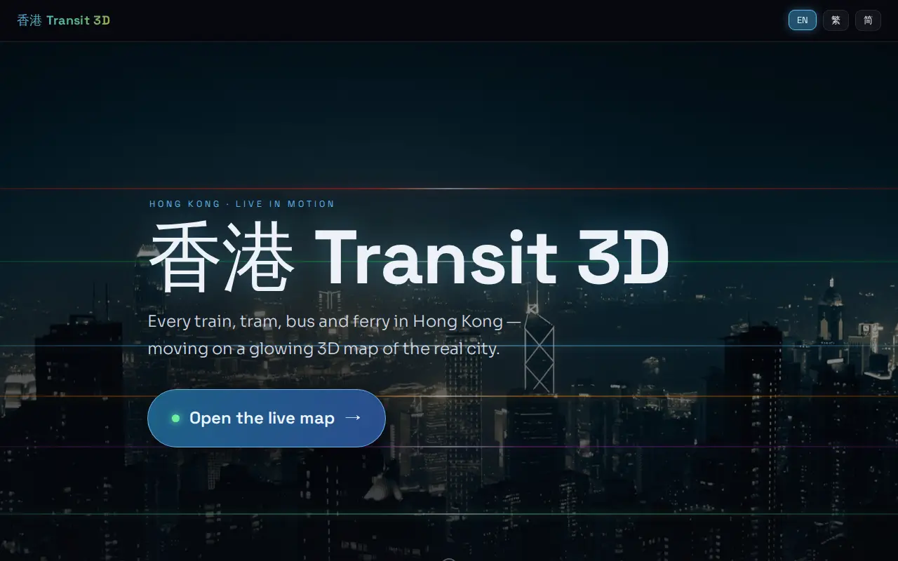
Hong Kong Transit 3D is an independent project presenting a real-time 3D schedule simulation of Hong Kong's trains, trams, buses, and ferries over real terrain. Vehicles move according to published frequencies and the Hong Kong clock, not GPS tracking. The map includes depth-true tunnels, a per-line underground cross-section view, and trilingual support.
Features
- A real-time 3D schedule simulation of Hong Kong's trains, trams, buses and ferries Source: hktransit3d.pages.dev
Limitations
- the map is a schedule simulation, not GPS tracking Source: hktransit3d.pages.dev
Links
Tags
-
0Live Tube Map shows London Underground trains moving in real-time on an interactive 3D map, covering all lines including Central, Northern and Victoria. The page lets users right-click to orbit, zoom for buildings and hover for details.
-
0A live map showing London Underground trains as yellow dots in approximately real time, built by Matthew Somerville. Live departure data is fetched from the TfL API. Schematic and Skyfall versions are also offered. It was originally built at Science Hackday in June 2010.
-
0
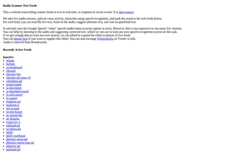
Radio Scanner Text Feeds is an open-source website that transcribes live radio scanner audio into text in real time. Audio streams are split on voice activity, transcribed with speech recognition, and published to web feeds. Visitors can read the live text, listen to the audio, suggest alternate text, and vote on the text. Audio is sourced from Broadcastify.
-
0A free interactive map of 9,079 castles, fortresses, palaces and ruins across 155 countries, each with a photo and story. Points can be clicked for quick facts, and individual pages give full stories and locations. Data comes from Wikidata, Wikimedia Commons, Wikipedia and OpenFreeMap.
-
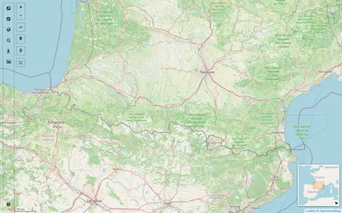
0A map interface built on OpenStreetMap that collects external cartographic tools and links them with automatic positioning on the current map extent. It offers a layers catalog for base layers and overlays, location search, and panes for StreetView images and webcams. Filters cover recently added links, favorites and tags.
-
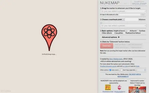
0NUKEMAP is a website created by Alex Wellerstein for visualizing the effects of nuclear detonations. Users drag a marker to a target, choose a warhead yield or preset, and detonate; the map renders effects and supports export to Google Earth as KMZ.
Community notes
Reviews and discussion
No reviews yet
Be the first to share how this project worked for you.
Join the discussion
Sign in with a verified account to leave a review or join the discussion.
Sign in to review