

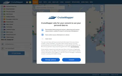

CruiseMapper offers free cruise tracking, showing current ship positions, along with itinerary schedules, deck plans, cabin information, and reports on cruise accidents and incidents. It also publishes cruise news and covers a wide range of cruise lines and river cruises.
London Remembers
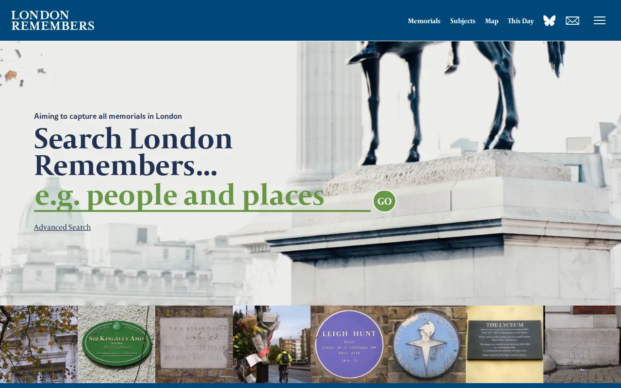
London Remembers is a site aiming to document all memorials in London, including plaques, statues, fountains and war memorials, with photos, inscriptions and the stories behind them. It lists memorial types and subjects and provides a map.
Features
- aims to capture every memorial in London: plaques, statues, war memorials and more Source: www.londonremembers.com
- with photos, inscriptions and the stories behind them Source: www.londonremembers.com
Links
Tags
-
0CruiseMapper offers free cruise tracking, showing current ship positions, along with itinerary schedules, deck plans, cabin information, and reports on cruise accidents and incidents. It also publishes cruise news and covers a wide range of cruise lines and river cruises.
-
0
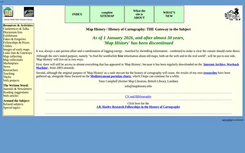
A World-Wide Web Virtual Library site that provided an organized overview of the history of cartography, including resources and activities, with links to map image sites and web articles. As of 1 January 2026, after almost 30 years, the site has been discontinued.
-
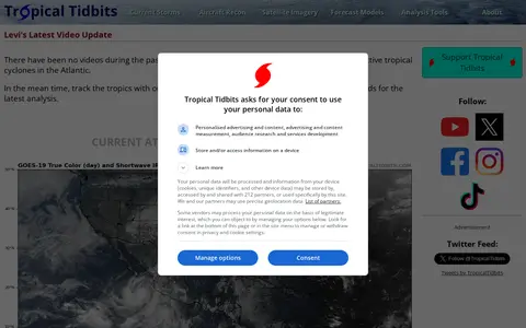
0Tropical Tidbits provides tropical weather and Atlantic hurricane information, analysis and forecasts, presented by Levi Cowan. The site includes sections for current storms, aircraft reconnaissance, satellite imagery, forecast models and analysis tools.
-
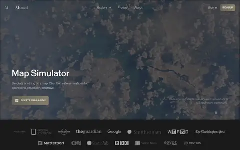
0Mused is a miscellaneous web resource for discovery, directories, archives, web culture, or useful tools.
-
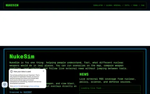
0NukeSim is an educational nuclear explosion simulator with effects modeling. It lets users run scenarios on a map, compare weapon profiles, view blast, thermal, radiation and fallout overlays, browse a global arsenal database, read articles and follow external nuclear news. The project states it is inspired by NUKEMAP.
-
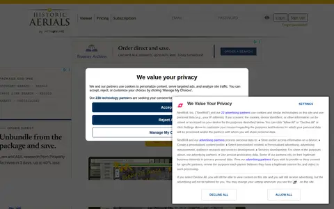
0Historic Aerials is an online collection of historical aerial imagery, topographic maps, and modern aerials covering the United States. An interactive viewer lets users explore locations, zoom, and switch between decades, with imagery dating back to the 1920s. The service offers subscriptions and individual purchases of digital downloads and prints.
Community notes
Reviews and discussion
No reviews yet
Be the first to share how this project worked for you.
Join the discussion
Sign in with a verified account to leave a review or join the discussion.
Sign in to review