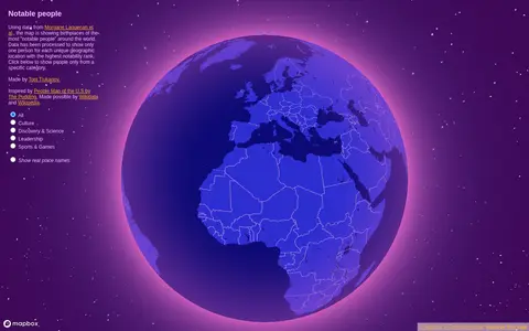
Notable People is a map showing birthplaces of the most notable people around the world, using data from Morgane Laouenan et al. The data has been processed to display only one person for each unique geographic location with the highest notability rank, with filters by category.
Directory
Search results
Published directory entries matching your search.
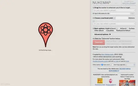
NUKEMAP is a website created by Alex Wellerstein for visualizing the effects of nuclear detonations. Users drag a marker to a target, choose a warhead yield or preset, and detonate; the map renders effects and supports export to Google Earth as KMZ.
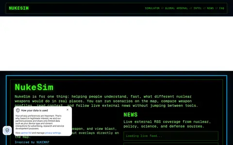
NukeSim is an educational nuclear explosion simulator with effects modeling. It lets users run scenarios on a map, compare weapon profiles, view blast, thermal, radiation and fallout overlays, browse a global arsenal database, read articles and follow external nuclear news. The project states it is inspired by NUKEMAP.
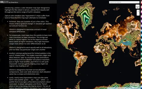
Oilslick is a color elevation map layer by Drew Roos designed to highlight fine terrain detail and work across the full range of Earth's elevation. It aims to maximize lightness contrast for small elevation differences and avoid favoring lower elevations, using a zig-zagging lightness pattern with each cycle covering 500m and hue completing one cycle over 9,275m of land elevation.
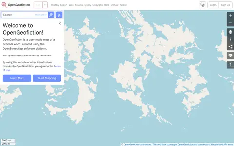
OpenGeofiction is a user-made map of a fictional world, created using the OpenStreetMap software platform. The site is run by volunteers and funded by donations, and use of the website or other provided infrastructure is subject to the Terms of Use. It offers a way to learn more and start mapping.
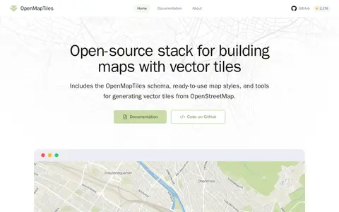
OpenMapTiles is an open-source stack for building world maps with OpenStreetMap vector tiles. It includes a vector tile schema, ready-to-use map styles, and tools for generating vector tiles. It works with MapLibre GL, Leaflet, OpenLayers, GIS, and WMTS. The project was created by MapTiler, which maintains the schema and tools.
openScope is a free and open source air traffic control simulator. The interface references arrivals, overflights, departures, fixes and runways, SID and STAR displays, airspace depiction, restricted areas, terrain, video maps, settings, speech, traffic, an airport guide, commands, a tutorial, a changelog and chat.
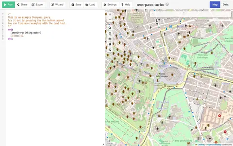
A web-based data mining tool for OpenStreetMap that runs Overpass API queries and displays results on an interactive map. The site requires a browser supporting the Web Storage API and cross-origin resource sharing, and notes that a more capable browser may be needed.
Find growing zones and climate maps for gardening.
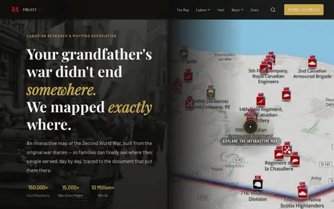
Project ’44 is a free interactive map of the Second World War built from original war diaries, with unit positions and diary pages traced to scanned primary documents. It also offers search of units by name, date or place and stories from the archive.
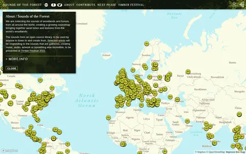
Sounds of the Forest is a project collecting the sounds of woodlands and forests from around the world into a growing soundmap. The collected sounds form an open source library that anyone can listen to and create from. The project was created by Wild Rumpus and is built on Mapbox GL JS.
Star Fit is a tool for planning events with friends or coworkers. A user creates an event with a rough time period, enters preferences, and sends the link to participants. Results update live and show a heat-map of everyone's preferences, with the best time for the event duration calculated using STAR Voting. It is built on Crab Fit and its code is open source.
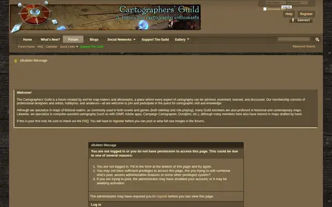
The Cartographers' Guild is a website and forum for enthusiasts of fantasy maps, mapmaking and cartography of all types. It is a community of fantasy map makers that provides tutorials, references and resources for fellow mapmakers.
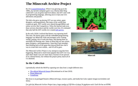
The Minecraft Archive Project is Leonard Richardson's effort to preserve Minecraft cultural history by periodically capturing packaged binaries such as maps, resource packs, and mods, along with screenshots and skins, from sites including Planet Minecraft and CurseForge. The archive is split into many ZIP files of about 50 gigabytes each, each with an HTML finding aid.
Time.Graphics is an online timeline creation platform for building interactive timelines. It offers AI-generation that is free to try, a dashboard for managing teachers, students, classrooms and subscriptions, imports from Google Calendar, Google Maps, YouTube and Google Sheets, and export options for offline viewing. Public timelines number over 500,000. Premium subscription plans are listed at $4.9 for 2 days, $18.9 for 1 Month, and $97.9 for 1 year.
TimelineJS is an open-source tool for building visually rich, interactive timelines, described as a free, easy-to-use tool for telling stories in a timeline format. Beginners can create a timeline using a Google spreadsheet, while experts can use JSON skills for custom installations. The tool can pull in media from sources including Twitter, Flickr, YouTube, Vimeo, Google Maps, Wikipedia and SoundCloud.
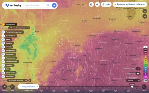
Ventusky provides live weather maps showing wind, rain, radar and temperature, with over 50 weather layers and detailed forecasts. Data comes from weather forecast models including ECMWF, GFS, ICON and GEM.
WARNTracker tracks layoffs reported in public WARN records, drawing on filings that employers submit to states before large layoffs. It presents layoff maps and charts by state and year, plus company and role breakdowns, and covers 8.1 million employees laid off from 41,052 companies from 1988 to 2026. The site notes its data is not exhaustive.
webgbcam is a browser-based application that provides a Game Boy Camera-style photo experience, with an explicit stance against NFTs. It generates GIF previews of captured images, uses the gif.js library, and has its source code publicly available on GitHub. Created by maple and inspired by Christine Love's Interstellar Selfie Station, a blank app interface indicates the user must connect a camera and grant browser camera permissions. The project has been featured in coverage from Mashable, Nerdist, and Hackaday, and its creator accepts donations via Ko-fi.
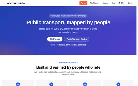
Wikiroutes is a crowdsourced public transport directory with an interactive map, schedules and route search for buses, trolleybuses and trams. Routes, stops and schedules pass through community editing and moderation before publication, and accepted changes appear on the site immediately.
WMU Digital Collections is part of Western Michigan University Libraries' finding tools. It provides access to digitized historical items, including photographs, artwork, diaries, manuscripts, maps, newspapers, medieval documents and material on southwest Michigan and WMU history. Transcripts and recordings covering World War I and II soldiers and scholarly output in ScholarWorks are also listed.

Writality is free writing software for novels, worldbuilding, creative writing, manuscript editing, story graphs and custom map making. It offers a rich text editor, word count, global search, version history and smart references. It also supports themes, custom calendars, custom maps and readable backups in .md or .docx format. The site states the core is free forever.
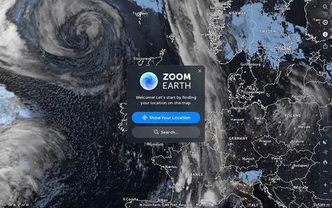
Zoom Earth is an interactive weather map of the world showing rain, wind, temperature and pressure, with forecasts for a selected location. It also offers satellite imagery, rain radar updated in near real time, hurricane and storm tracking, and wildfire and smoke monitoring. Mobile apps are available for iPhone, iPad and Android.