
communitynets.org
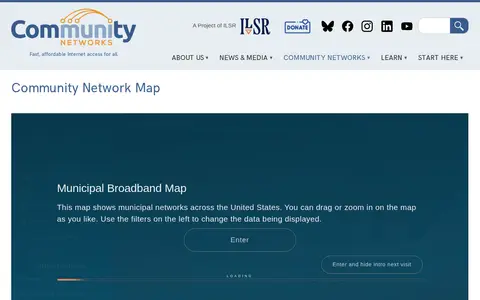
Community Network Map is a miscellaneous web resource for discovery, directories, archives, web culture, or useful tools.

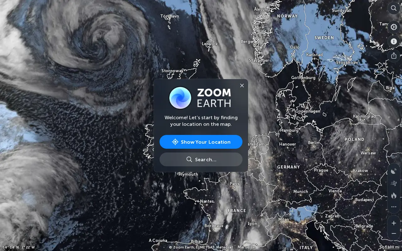
Zoom Earth is an interactive weather map of the world showing rain, wind, temperature and pressure, with forecasts for a selected location. It also offers satellite imagery, rain radar updated in near real time, hurricane and storm tracking, and wildfire and smoke monitoring. Mobile apps are available for iPhone, iPad and Android.
Community Network Map is a miscellaneous web resource for discovery, directories, archives, web culture, or useful tools.

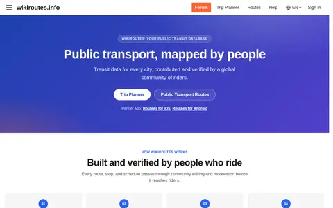
Wikiroutes is a crowdsourced public transport directory with an interactive map, schedules and route search for buses, trolleybuses and trams. Routes, stops and schedules pass through community editing and moderation before publication, and accepted changes appear on the site immediately.

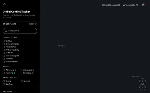
The Global Conflict Tracker is an interactive tool from the Council on Foreign Relations' Wachenheim Center for Peace and Security. It presents information on the world's top conflict hotspots, organized by region and conflict type.

World Monitor is a free, open-source global intelligence dashboard that streams live data feeds onto a single world map with AI analysis. It covers conflict events, military flights, ship movements, market data, shipping chokepoints, internet outages and cyber signals, and provides a REST API with MCP equivalents.

AP Transit presents a 3D live map of the NYC Subway, described as a real-time digital map that helps riders navigate the changing transportation network. The page covers reading the map, transfers, accessibility, entrances and station details, and states the system has 472 stations and about 665 miles of track.

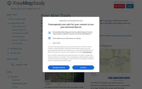
FreeMapTools is a free online collection of map-based tools. Popular tools let visitors draw a radius around a point, measure distances between points, calculate the straight-line distance between two locations, and measure the area of a drawn shape. Results are shown in units including kilometers, miles, nautical miles, and acres.
Community notes
Be the first to share how this project worked for you.
Sign in with a verified account to leave a review or join the discussion.
Sign in to reviewKeep exploring
Community Network Map is a miscellaneous web resource for discovery, directories, archives, web culture, or useful tools.
Wikiroutes is a crowdsourced public transport directory with an interactive map, schedules and route search for buses, trolleybuses and trams. Routes, stops and schedules pass through community editing and moderation before publication, and accepted changes appear on the site immediately.
The Global Conflict Tracker is an interactive tool from the Council on Foreign Relations' Wachenheim Center for Peace and Security. It presents information on the world's top conflict hotspots, organized by region and conflict type.
World Monitor is a free, open-source global intelligence dashboard that streams live data feeds onto a single world map with AI analysis. It covers conflict events, military flights, ship movements, market data, shipping chokepoints, internet outages and cyber signals, and provides a REST API with MCP equivalents.
AP Transit presents a 3D live map of the NYC Subway, described as a real-time digital map that helps riders navigate the changing transportation network. The page covers reading the map, transfers, accessibility, entrances and station details, and states the system has 472 stations and about 665 miles of track.
FreeMapTools is a free online collection of map-based tools. Popular tools let visitors draw a radius around a point, measure distances between points, calculate the straight-line distance between two locations, and measure the area of a drawn shape. Results are shown in units including kilometers, miles, nautical miles, and acres.