


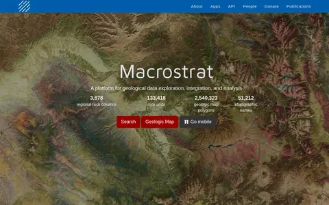

Macrostrat is a platform for exploring, integrating and analysing geological data. It aggregates geologic maps from data providers and links map polygons to rock columns, stratigraphic names and geochronological intervals. The site offers a searchable geologic map and an API. Interactive applications built on the platform are intended for educational and research purposes.
Project ’44
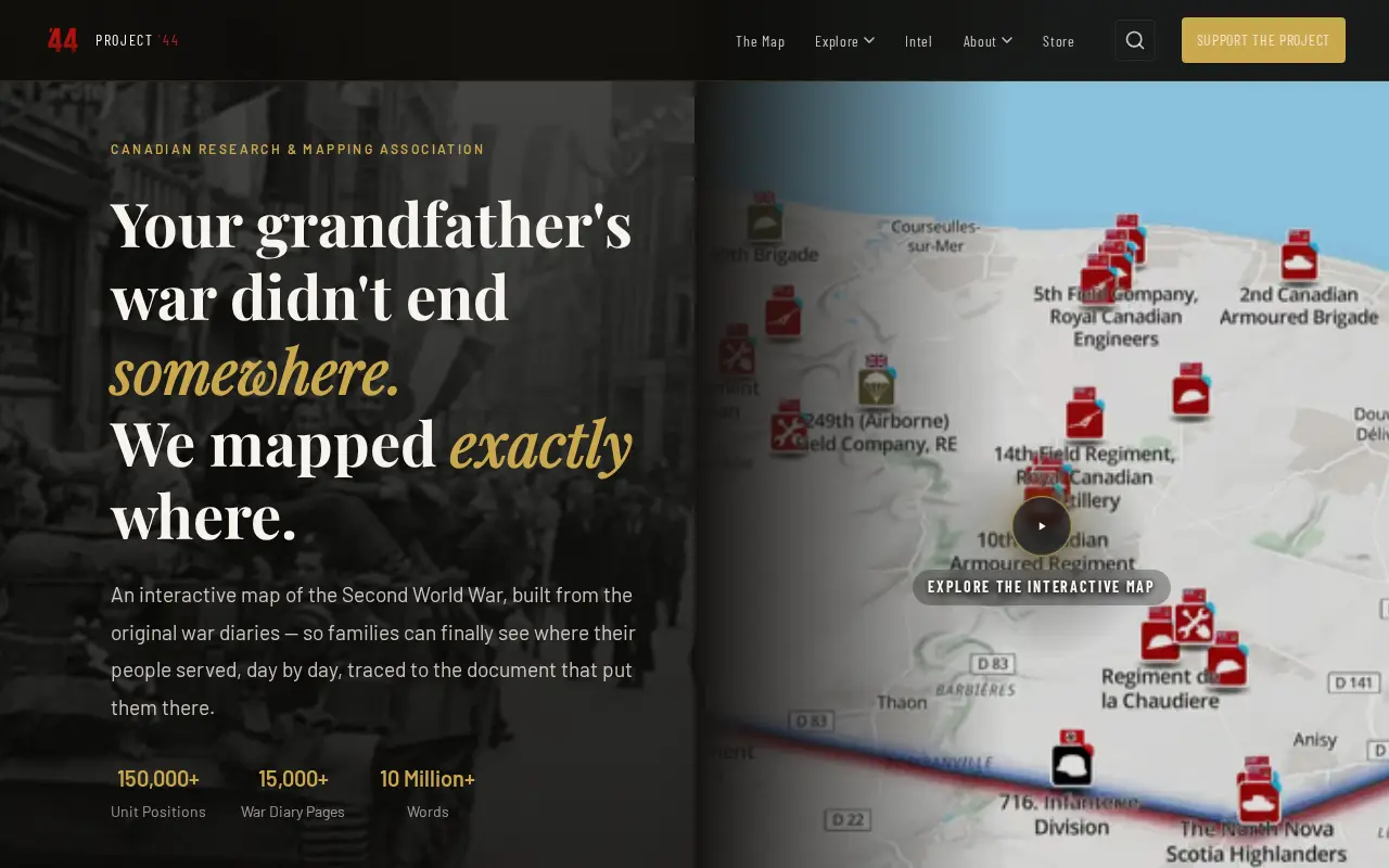
Project ’44 is a free interactive map of the Second World War built from original war diaries, with unit positions and diary pages traced to scanned primary documents. It also offers search of units by name, date or place and stories from the archive.
Features
- A free interactive map of the Second World War Source: project44.ca
- Search Canadian units by name, date, or place Source: project44.ca
Links
Tags
-
0Macrostrat is a platform for exploring, integrating and analysing geological data. It aggregates geologic maps from data providers and links map polygons to rock columns, stratigraphic names and geochronological intervals. The site offers a searchable geologic map and an API. Interactive applications built on the platform are intended for educational and research purposes.

-
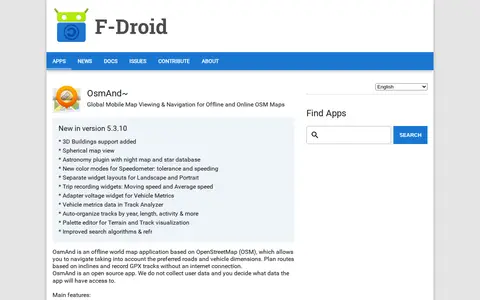
0OsmAnd~ is an open source offline world map application based on OpenStreetMap, available from F-Droid. It offers map viewing, GPS navigation without an internet connection, route planning and GPX track recording. The listing notes anti-features including non-free assets and tracking via an installation ID sent with map download requests.
-
0MapCrunch displays random Google Street View locations around the world, allowing users to explore imagery from 50 countries. Users can filter views by country or region using a list or map, and selected views are added to a daily gallery. Views can be shared with a name shown under the gallery image.
-
0Live Tube Map shows London Underground trains moving in real-time on an interactive 3D map, covering all lines including Central, Northern and Victoria. The page lets users right-click to orbit, zoom for buildings and hover for details.
-
0A free interactive map of 9,079 castles, fortresses, palaces and ruins across 155 countries, each with a photo and story. Points can be clicked for quick facts, and individual pages give full stories and locations. Data comes from Wikidata, Wikimedia Commons, Wikipedia and OpenFreeMap.
-
0
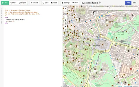
A web-based data mining tool for OpenStreetMap that runs Overpass API queries and displays results on an interactive map. The site requires a browser supporting the Web Storage API and cross-origin resource sharing, and notes that a more capable browser may be needed.
Community notes
Reviews and discussion
No reviews yet
Be the first to share how this project worked for you.
Join the discussion
Sign in with a verified account to leave a review or join the discussion.
Sign in to review