

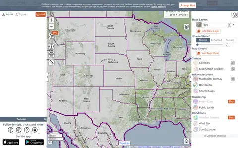
CalTopo is a backcountry mapping tool offering trip planning tools and topographic maps, including USGS and USFS topos and aerial imagery. It supports printing to geospatial PDFs, exporting to KMZ and MBTiles, elevation profiles and terrain analysis, and finding shared maps from other users.
Oilslick
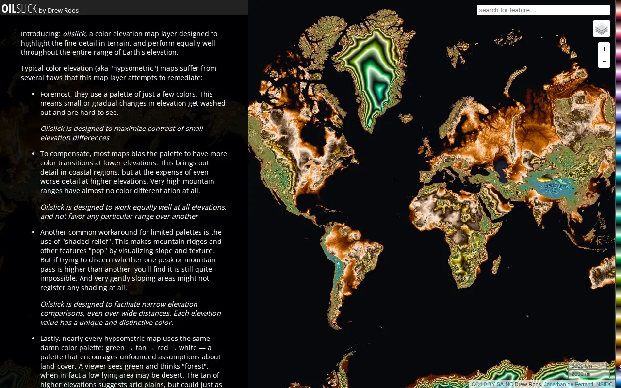
Oilslick is a color elevation map layer by Drew Roos designed to highlight fine terrain detail and work across the full range of Earth's elevation. It aims to maximize lightness contrast for small elevation differences and avoid favoring lower elevations, using a zig-zagging lightness pattern with each cycle covering 500m and hue completing one cycle over 9,275m of land elevation.
Features
- color elevation map layer designed to highlight fine detail in terrain Source: mrgris.com
Links
Tags
-
0CalTopo is a backcountry mapping tool offering trip planning tools and topographic maps, including USGS and USFS topos and aerial imagery. It supports printing to geospatial PDFs, exporting to KMZ and MBTiles, elevation profiles and terrain analysis, and finding shared maps from other users.
-
0
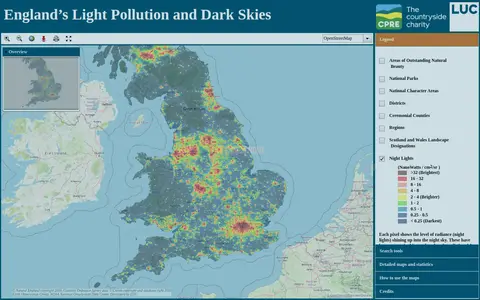
An online map of England's light pollution and dark skies. Users can search by postcode, district or National Character Area, tick boundaries in the legend to display them, and click the map for detailed information about an area. The map uses OpenStreetMap and World Imagery data and was developed by LUC.
-
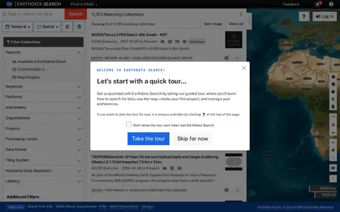
0Earthdata Search is a browser-based tool for searching, discovering, visualizing, refining and accessing NASA Earth Observation data. The site requires a JavaScript-aware browser, and an upgraded browser is needed to use it. Earthdata Access is offered as a Section 508 accessible alternative.
-
0Historic Aerials is an online collection of historical aerial imagery, topographic maps, and modern aerials covering the United States. An interactive viewer lets users explore locations, zoom, and switch between decades, with imagery dating back to the 1920s. The service offers subscriptions and individual purchases of digital downloads and prints.
-
0The official Organic Maps Telegram group covers Organic Maps, described as open-source, privacy-friendly, fast and detailed offline maps for iOS and Android. The group also links to ways of supporting the app's development and to a channel for Russian speakers.
-
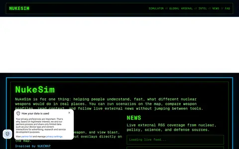
0NukeSim is an educational nuclear explosion simulator with effects modeling. It lets users run scenarios on a map, compare weapon profiles, view blast, thermal, radiation and fallout overlays, browse a global arsenal database, read articles and follow external nuclear news. The project states it is inspired by NUKEMAP.
Community notes
Reviews and discussion
No reviews yet
Be the first to share how this project worked for you.
Join the discussion
Sign in with a verified account to leave a review or join the discussion.
Sign in to review