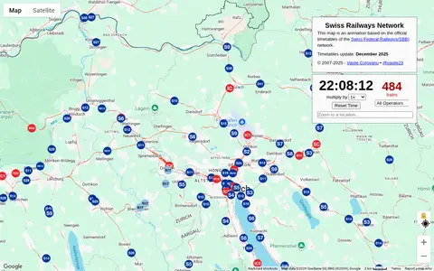

maps.vasile.ch
Swiss Railways Network is a miscellaneous web resource for discovery, directories, archives, web culture, or useful tools.
Directory
Maps and Transportation collects tools for finding your way and tracking things that move. Maps and navigation holds map services, routing engines, and public transit planners. Vehicles and VIN covers vehicle history lookups and identification tools. Maritime tracking lists ship trackers and port data, and geolocation tools collects services that work from coordinates, IP addresses, or phone signals. Radio and communications covers aviation, marine, and amateur radio references that depend on location, and real estate and property adds land and building lookup tools. Flight tracking, weather, and live maps and webcams are smaller topics in the same category. Several entries use public or crowd-sourced data, which means coverage is uneven between countries and can be out of date, so check a source before you rely on it for a journey or a decision.
Swiss Railways Network is a miscellaneous web resource for discovery, directories, archives, web culture, or useful tools.

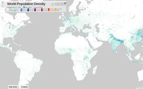
World Population Density is a miscellaneous web resource for discovery, directories, archives, web culture, or useful tools.

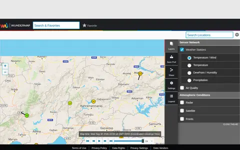
WunderMap is a miscellaneous web resource for discovery, directories, archives, web culture, or useful tools.

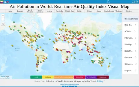
aqicn.org is a miscellaneous web resource for discovery, directories, archives, web culture, or useful tools.
Blitzortung.org is a miscellaneous web resource for discovery, directories, archives, web culture, or useful tools.

Netweather is a miscellaneous web resource for discovery, directories, archives, web culture, or useful tools.

rasp.yandex is a miscellaneous web resource for discovery, directories, archives, web culture, or useful tools.

SaveEcoBot is a miscellaneous web resource for discovery, directories, archives, web culture, or useful tools.

vr.fi is a miscellaneous web resource for discovery, directories, archives, web culture, or useful tools.

Liveuamap is an independent global news and information site that reports on topics such as conflicts, human rights issues, protests, terrorism, weapons deployment, health matters, natural disasters and weather. It presents news through a map-centric approach and provides open online access to a chronological archive. It was founded in 2014 to inform about the Ukrainian conflict and later expanded to other regions.

Bomb Blast is a miscellaneous web resource for discovery, directories, archives, web culture, or useful tools.

Community Network Map is a miscellaneous web resource for discovery, directories, archives, web culture, or useful tools.
HK Battle 1941 is a curated directory or link collection for discovering useful websites, tools, and resources.

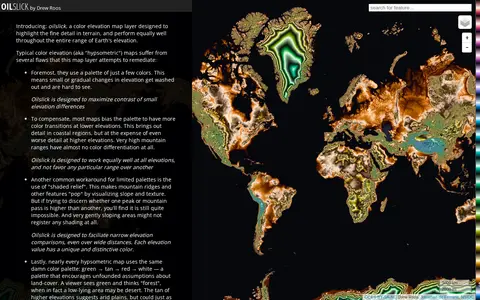
Oilslick is a color elevation map layer by Drew Roos designed to highlight fine terrain detail and work across the full range of Earth's elevation. It aims to maximize lightness contrast for small elevation differences and avoid favoring lower elevations, using a zig-zagging lightness pattern with each cycle covering 500m and hue completing one cycle over 9,275m of land elevation.

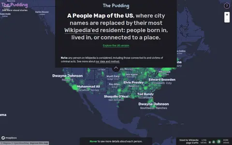
A People Map of the US is a map by Matt Daniels and Russell Samora that replaces city names with their most Wikipedia-viewed resident. Person and city associations were based on Wikipedia's "People from X city" pages, using English Wikipedia data collected from July 2015 to May 2019, with the top person determined by median pageviews.

Wikimap is a miscellaneous web resource for discovery, directories, archives, web culture, or useful tools.

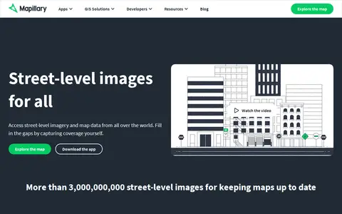
Mapillary is a platform that hosts, processes, and publishes street-level imagery and map data. It combines collaborative image contributions with computer vision to scale and automate mapping, and offers access to street-level imagery and map data from around the world.

Waze is a miscellaneous web resource for discovery, directories, archives, web culture, or useful tools.

ArcGIS dashboard visualizing recent earthquakes, locations, magnitudes, and related seismic data.

3D Map is a miscellaneous web resource for discovery, directories, archives, web culture, or useful tools.

LanguageMap is an interactive world language map that shows where each language is spoken and how languages are related. It includes a daily guessing game and indicates that 877 of the 8,238 languages listed by Glottolog are on the map so far.

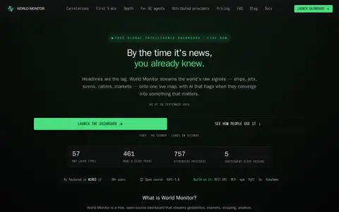
World Monitor is a free, open-source global intelligence dashboard that streams live data feeds onto a single world map with AI analysis. It covers conflict events, military flights, ship movements, market data, shipping chokepoints, internet outages and cyber signals, and provides a REST API with MCP equivalents.
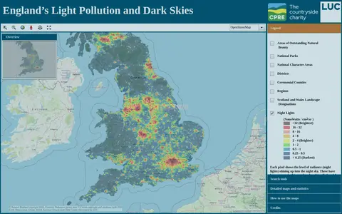
An online map of England's light pollution and dark skies. Users can search by postcode, district or National Character Area, tick boundaries in the legend to display them, and click the map for detailed information about an area. The map uses OpenStreetMap and World Imagery data and was developed by LUC.

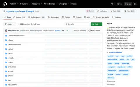
Organicmaps is a miscellaneous web resource for discovery, directories, archives, web culture, or useful tools.