anvaka.github.io
city roads is a miscellaneous web resource for discovery, directories, archives, web culture, or useful tools.
Directory
Maps and Transportation collects tools for finding your way and tracking things that move. Maps and navigation holds map services, routing engines, and public transit planners. Vehicles and VIN covers vehicle history lookups and identification tools. Maritime tracking lists ship trackers and port data, and geolocation tools collects services that work from coordinates, IP addresses, or phone signals. Radio and communications covers aviation, marine, and amateur radio references that depend on location, and real estate and property adds land and building lookup tools. Flight tracking, weather, and live maps and webcams are smaller topics in the same category. Several entries use public or crowd-sourced data, which means coverage is uneven between countries and can be out of date, so check a source before you rely on it for a journey or a decision.
city roads is a miscellaneous web resource for discovery, directories, archives, web culture, or useful tools.
Erin's Informed Consent HRT Map points to a Reddit community or thread with discussion, guides, updates, or shared resources.

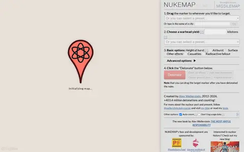
NUKEMAP is a website created by Alex Wellerstein for visualizing the effects of nuclear detonations. Users drag a marker to a target, choose a warhead yield or preset, and detonate; the map renders effects and supports export to Google Earth as KMZ.

Project4 4 is a miscellaneous web resource for discovery, directories, archives, web culture, or useful tools.
Advanced Search is a miscellaneous web resource for discovery, directories, archives, web culture, or useful tools.

MAP is a miscellaneous web resource for discovery, directories, archives, web culture, or useful tools.

Map Complete is a miscellaneous web resource for discovery, directories, archives, web culture, or useful tools.

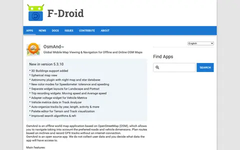
OsmAnd~ is an open source offline world map application based on OpenStreetMap, available from F-Droid. It offers map viewing, GPS navigation without an internet connection, route planning and GPX track recording. The listing notes anti-features including non-free assets and tracking via an installation ID sent with map download requests.

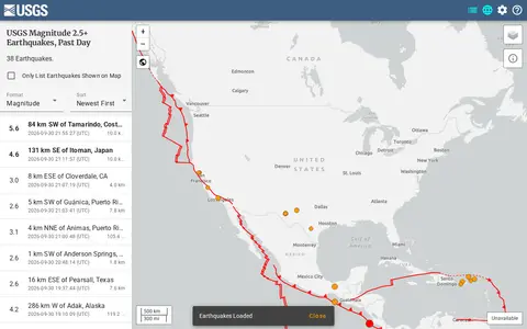
USGS is a miscellaneous web resource for discovery, directories, archives, web culture, or useful tools.

r/MapPorn points to a Reddit community or thread with discussion, guides, updates, or shared resources.
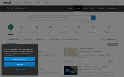
ArcGIS Living Atlas offers curated maps, imagery, demographic layers, and global geographic datasets.

Liveuamap is a map-centric news site founded in 2014 by developers and journalists. Liveuamap shows conflict and other news geographically, using AI web crawlers and analysts to fact-check stories before editors place them on the map. The site offers an archive of past site information and has expanded its coverage beyond the Ukrainian conflict to other regions, including Israel-Palestine.
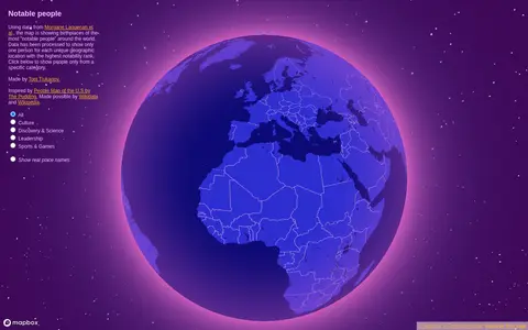
Notable People is a map showing birthplaces of the most notable people around the world, using data from Morgane Laouenan et al. The data has been processed to display only one person for each unique geographic location with the highest notability rank, with filters by category.

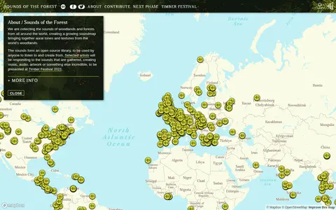
Sounds of the Forest is a project collecting the sounds of woodlands and forests from around the world into a growing soundmap. The collected sounds form an open source library that anyone can listen to and create from. The project was created by Wild Rumpus and is built on Mapbox GL JS.

Tfproject Athena is a miscellaneous web resource for discovery, directories, archives, web culture, or useful tools.

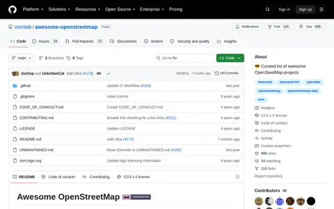
Awesome Openstreetmap is a code repository or project page with source code, releases, documentation, or setup notes.

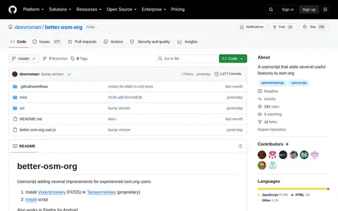
Editor is a miscellaneous web resource for discovery, directories, archives, web culture, or useful tools.

r/papertowns points to a Reddit community or thread with discussion, guides, updates, or shared resources.

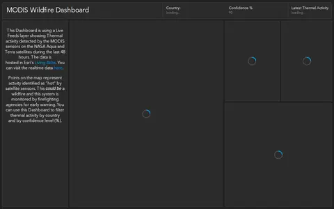
ArcGIS dashboard showing MODIS satellite wildfire detections, hotspots, and fire activity.
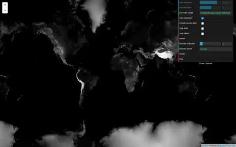
Tangram Heightmapper is an elevation data browser that auto-exposes the display so the highest and lowest visible elevations are white and black, producing a grayscale heightmap. The image can be exported and imported as a displacement map in 3D applications. Auto-expose can be unchecked to set minimum and maximum height levels manually.

Features is a miscellaneous web resource for discovery, directories, archives, web culture, or useful tools.

ArcGIS dashboard mapping power plants across the United States with energy and location data.

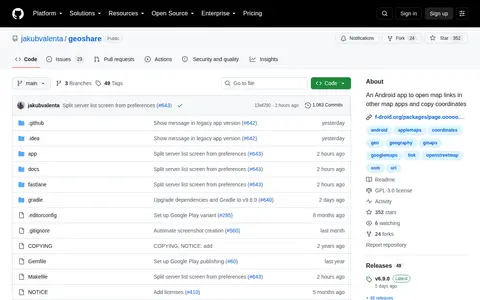
Geo Share is a miscellaneous web resource for discovery, directories, archives, web culture, or useful tools.

ArcGIS dashboard showing Walmart store status, closures, and location-based operational updates.