





AP Transit presents a 3D live map of the NYC Subway, described as a real-time digital map that helps riders navigate the changing transportation network. The page covers reading the map, transfers, accessibility, entrances and station details, and states the system has 472 stations and about 665 miles of track.
World Monitor
World Monitor is a free, open-source global intelligence dashboard that streams live data feeds onto a single world map with AI analysis. It covers conflict events, military flights, ship movements, market data, shipping chokepoints, internet outages and cyber signals, and provides a REST API with MCP equivalents.
Features
- free, real-time global intelligence dashboard Source: www.worldmonitor.app
Links
Tags
-
0AP Transit presents a 3D live map of the NYC Subway, described as a real-time digital map that helps riders navigate the changing transportation network. The page covers reading the map, transfers, accessibility, entrances and station details, and states the system has 472 stations and about 665 miles of track.

-
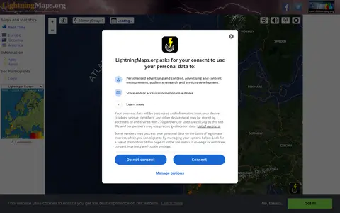
0A community project providing free real-time lightning maps and apps, with lightning data supplied by Blitzortung.org and contributors. It lets users see lightning strikes in real time across the planet and access maps of former thunderstorms, with regional views for Europe, Germany, USA and Oceania.
-
0Live Tube Map shows London Underground trains moving in real-time on an interactive 3D map, covering all lines including Central, Northern and Victoria. The page lets users right-click to orbit, zoom for buildings and hover for details.
-
0
Radio Scanner Text Feeds is an open-source website that transcribes live radio scanner audio into text in real time. Audio streams are split on voice activity, transcribed with speech recognition, and published to web feeds. Visitors can read the live text, listen to the audio, suggest alternate text, and vote on the text. Audio is sourced from Broadcastify.
-
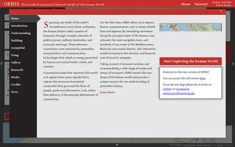
0ORBIS is the Stanford Geospatial Network Model of the Roman World, published by Stanford University Libraries, with authors Walter Scheidel and Elijah Meeks. It presents a route and network interface with options for origin and destination, departure month or season, and priority such as fastest, cheapest or shortest, across road, river and sea modes.
-
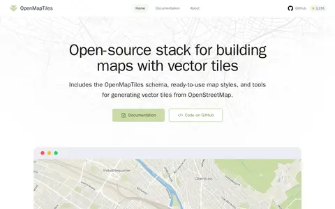
0OpenMapTiles is an open-source stack for building world maps with OpenStreetMap vector tiles. It includes a vector tile schema, ready-to-use map styles, and tools for generating vector tiles. It works with MapLibre GL, Leaflet, OpenLayers, GIS, and WMTS. The project was created by MapTiler, which maintains the schema and tools.
Community notes
Reviews and discussion
No reviews yet
Be the first to share how this project worked for you.
Join the discussion
Sign in with a verified account to leave a review or join the discussion.
Sign in to review