
StreetComplete is an OpenStreetMap surveyor app. It finds missing map data in the user's vicinity and displays it on a map as quests, which are solved by visiting the location and answering a simple question. The info entered is added directly to OpenStreetMap in the user's name without using another editor.
Mapillary
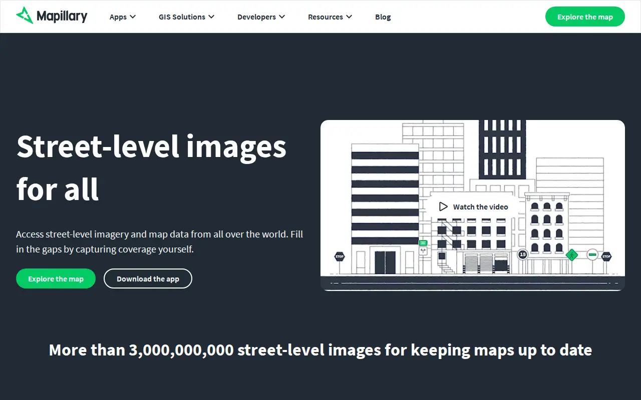
Mapillary is a platform that hosts, processes, and publishes street-level imagery and map data. It combines collaborative image contributions with computer vision to scale and automate mapping, and offers access to street-level imagery and map data from around the world.
Features
- Host, process, and publish street-level imagery and map data Source: www.mapillary.com
Links
Tags
-
0
StreetComplete is an OpenStreetMap surveyor app. It finds missing map data in the user's vicinity and displays it on a map as quests, which are solved by visiting the location and answering a simple question. The info entered is added directly to OpenStreetMap in the user's name without using another editor.
-
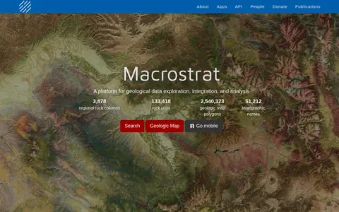
0Macrostrat is a platform for exploring, integrating and analysing geological data. It aggregates geologic maps from data providers and links map polygons to rock columns, stratigraphic names and geochronological intervals. The site offers a searchable geologic map and an API. Interactive applications built on the platform are intended for educational and research purposes.
-
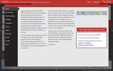
0ORBIS is the Stanford Geospatial Network Model of the Roman World, published by Stanford University Libraries, with authors Walter Scheidel and Elijah Meeks. It presents a route and network interface with options for origin and destination, departure month or season, and priority such as fastest, cheapest or shortest, across road, river and sea modes.
-
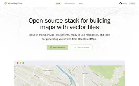
0OpenMapTiles is an open-source stack for building world maps with OpenStreetMap vector tiles. It includes a vector tile schema, ready-to-use map styles, and tools for generating vector tiles. It works with MapLibre GL, Leaflet, OpenLayers, GIS, and WMTS. The project was created by MapTiler, which maintains the schema and tools.
-
0
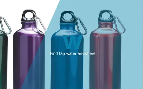
BlueW is a map of free water bottle refill locations. Users look for the blueW.org window decal at listed locations to refill reusable water bottles. The site also invites users to add refill locations to the map.
-
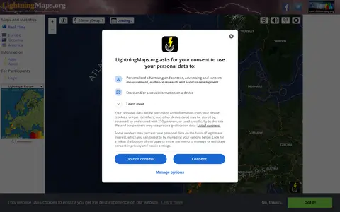
0A community project providing free real-time lightning maps and apps, with lightning data supplied by Blitzortung.org and contributors. It lets users see lightning strikes in real time across the planet and access maps of former thunderstorms, with regional views for Europe, Germany, USA and Oceania.
Community notes
Reviews and discussion
No reviews yet
Be the first to share how this project worked for you.
Join the discussion
Sign in with a verified account to leave a review or join the discussion.
Sign in to review