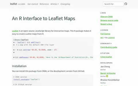
An R package that creates interactive Leaflet maps using the Leaflet JavaScript library and htmlwidgets. Maps can be used from the R console, RStudio, Shiny applications and R Markdown documents. It is linked to the open-source Leaflet JavaScript library for interactive maps.

Directory
Search results
Published directory entries matching your search.
Leaflet is a social publishing platform for creating blogs, newsletters, and other content. It offers collaborative editing, custom themes and domains, and tools to send updates to readers via email, Bluesky, and the Atmosphere social ecosystem.
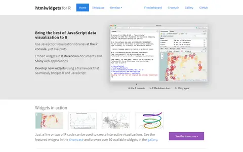
HTML widgets are R packages that produce interactive web visualizations, working like R plots. A line or two of R code produces a D3 graphic or Leaflet map. Widgets run at the R console and can be embedded in R Markdown reports and Shiny web applications. The page lists widget examples including Leaflet, dygraphs, Plotly and Highcharter, and describes composing dashboards with flexdashboard and linking widgets with crosstalk. New widgets can be developed by bridging R and JavaScript.
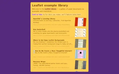
Examples is the Leaflet example library, a gallery of sample documents offered as examples and creative inspiration. It includes links to works covering topics such as learning resources, recreational activities, document design and other creative subjects.
GPS Visualizer is an online utility that creates customizable maps and profiles from GPS data such as tracklogs and waypoints, addresses, or coordinates. Input can include driving routes, street addresses, or simple coordinates, and output includes Leaflet/Google maps, Google Earth KML, and JPG/PNG/SVG maps. The site states it has been on the Web since October 2002.
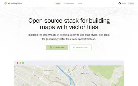
OpenMapTiles is an open-source stack for building world maps with OpenStreetMap vector tiles. It includes a vector tile schema, ready-to-use map styles, and tools for generating vector tiles. It works with MapLibre GL, Leaflet, OpenLayers, GIS, and WMTS. The project was created by MapTiler, which maintains the schema and tools.